Arrival by public transport
Take public transport to Seefeld Railway Station.
All real-time connections can be found in the route planner.
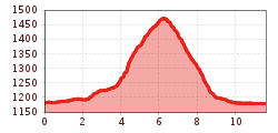
Moderate, scenic hike from Seefeld to Gschwandtkopf, with rest stops and the reservoir lake, reflecting the impressive surrounding peaks.
Forest road, aspahlt road and gravel trails.
All current information about the trail closures in the Region Seefeld can be found here.
Have you been out and about in the Region and discovered a spot that we should rework or repair? Fill out the form "Report a danger zone" and let us know where work is needed.
Sturdy hiking shoes, functional clothing, a backpack, water, snacks, basic fitness, and sure-footedness are recommended for this hike.
Additionally, a hiking map or GPS, a first aid kit, sun protection, and hiking poles are advisable.
Attention: The access road to Gschwandtkopf from Reith is closed for one week due to forestry work.
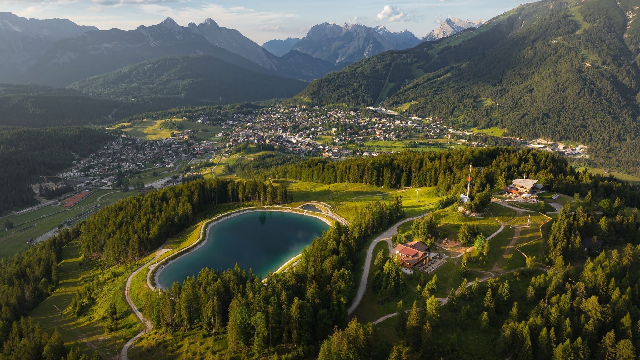
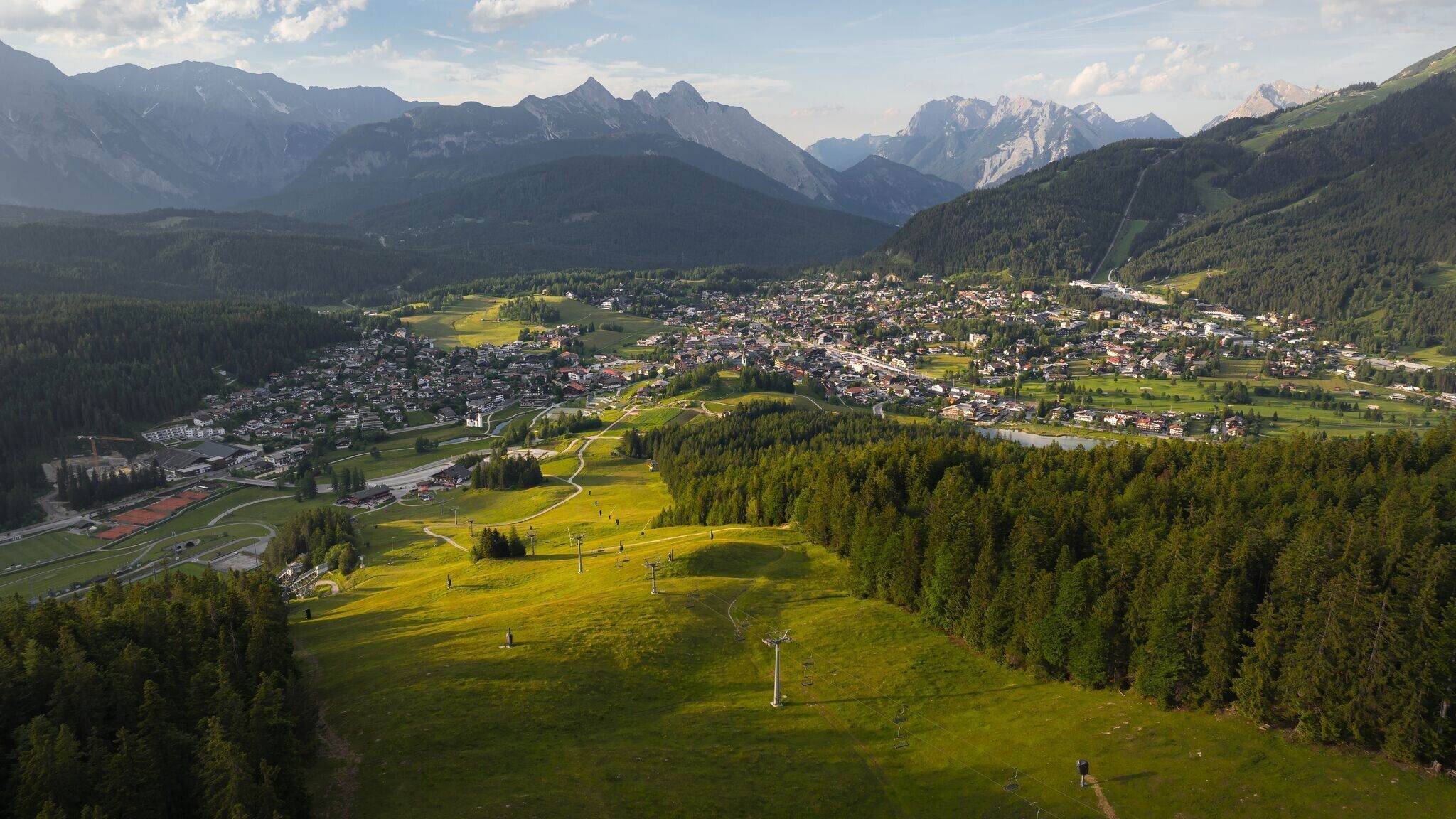
The hike starts at Seefeld train station and first leads through the pedestrian zone. From there, the route continues through the Kirchwald district towards Mösern. Trail No. 2 gently ascends through nature, offering beautiful views along the way. After some time, the high point near Mösern is reached.
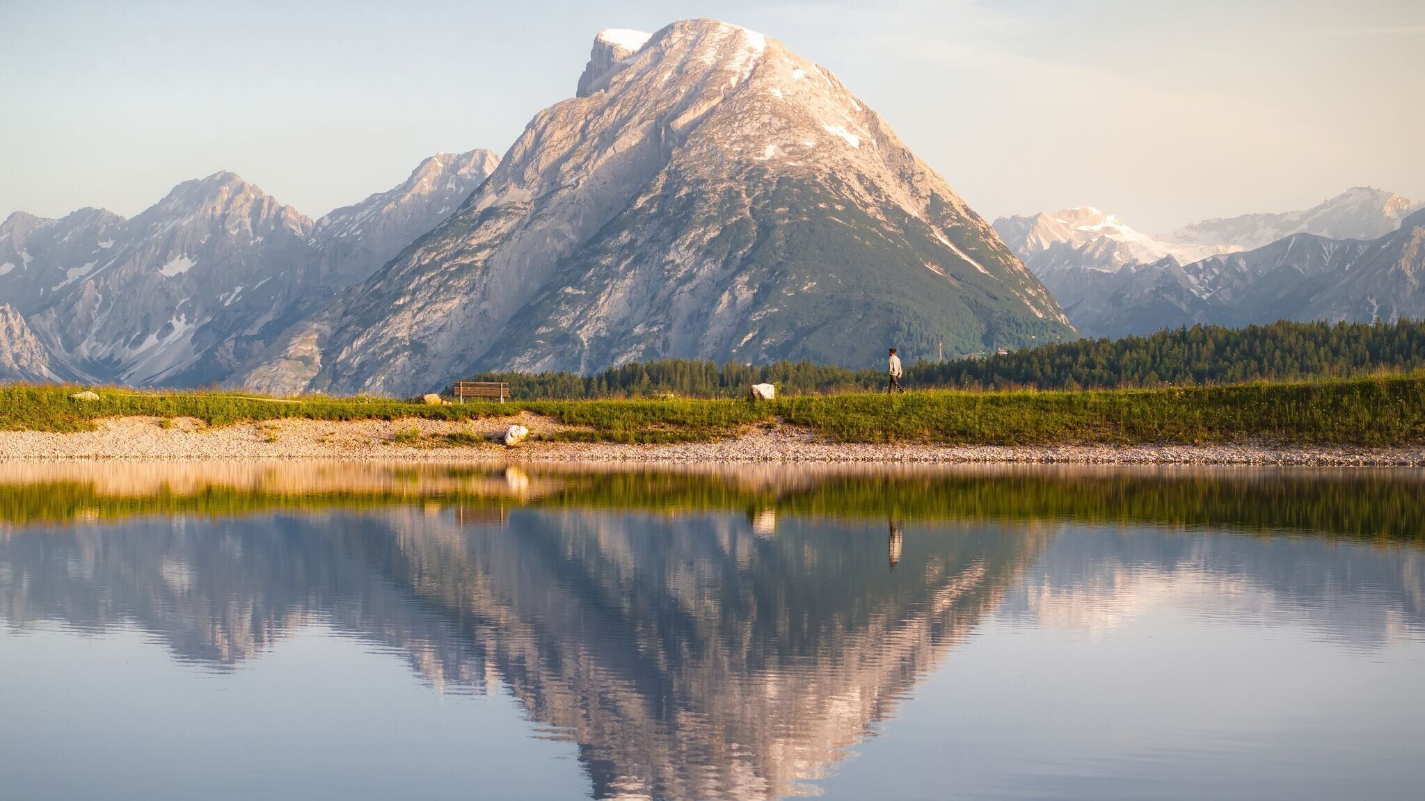
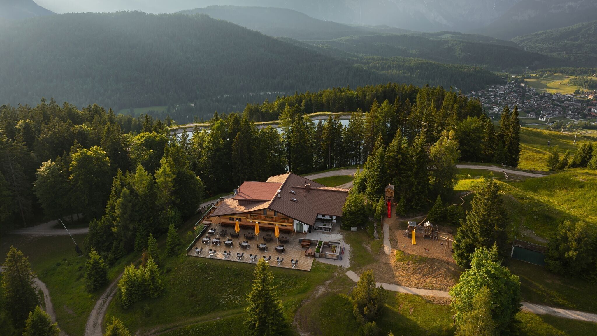
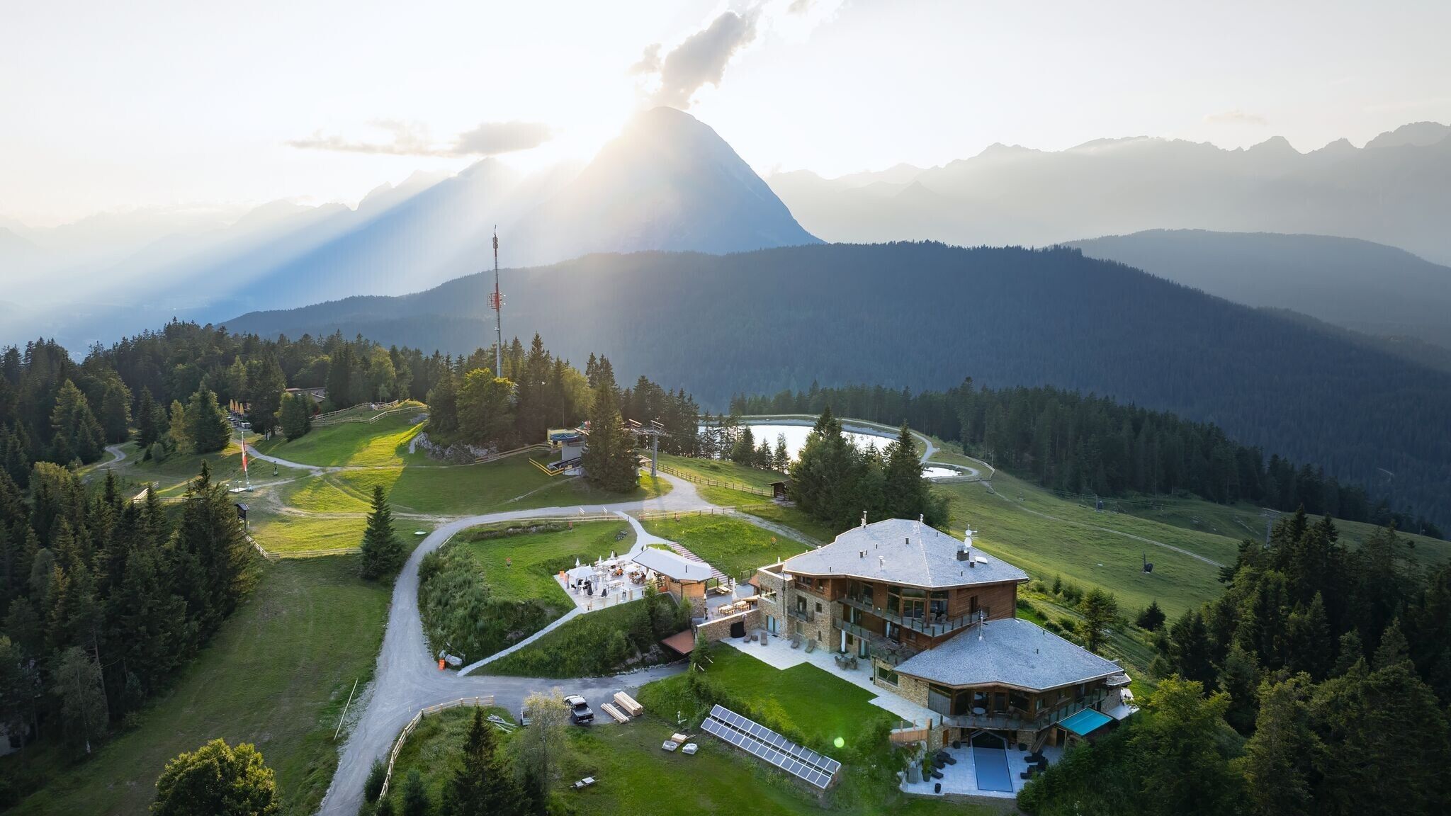
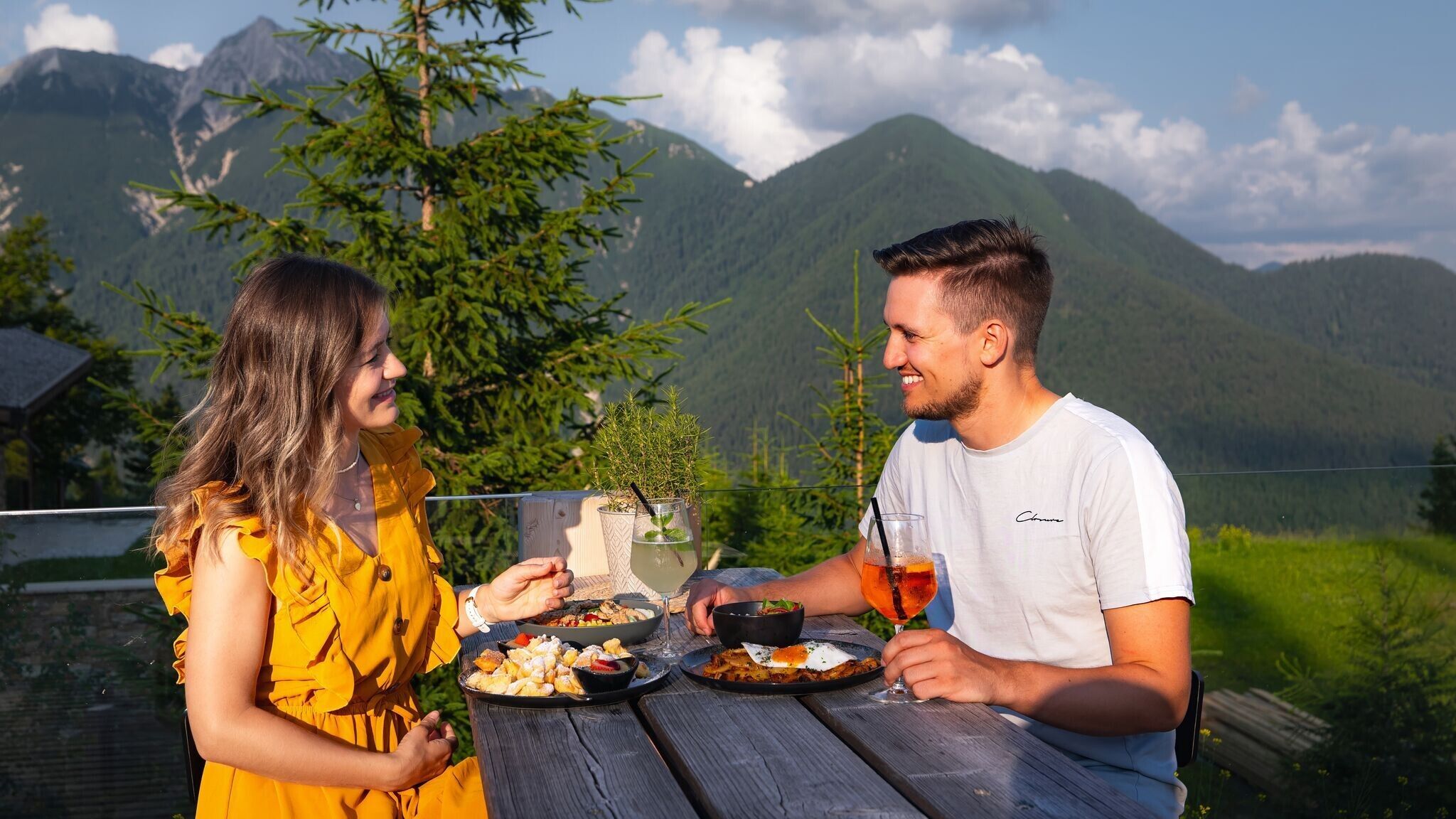
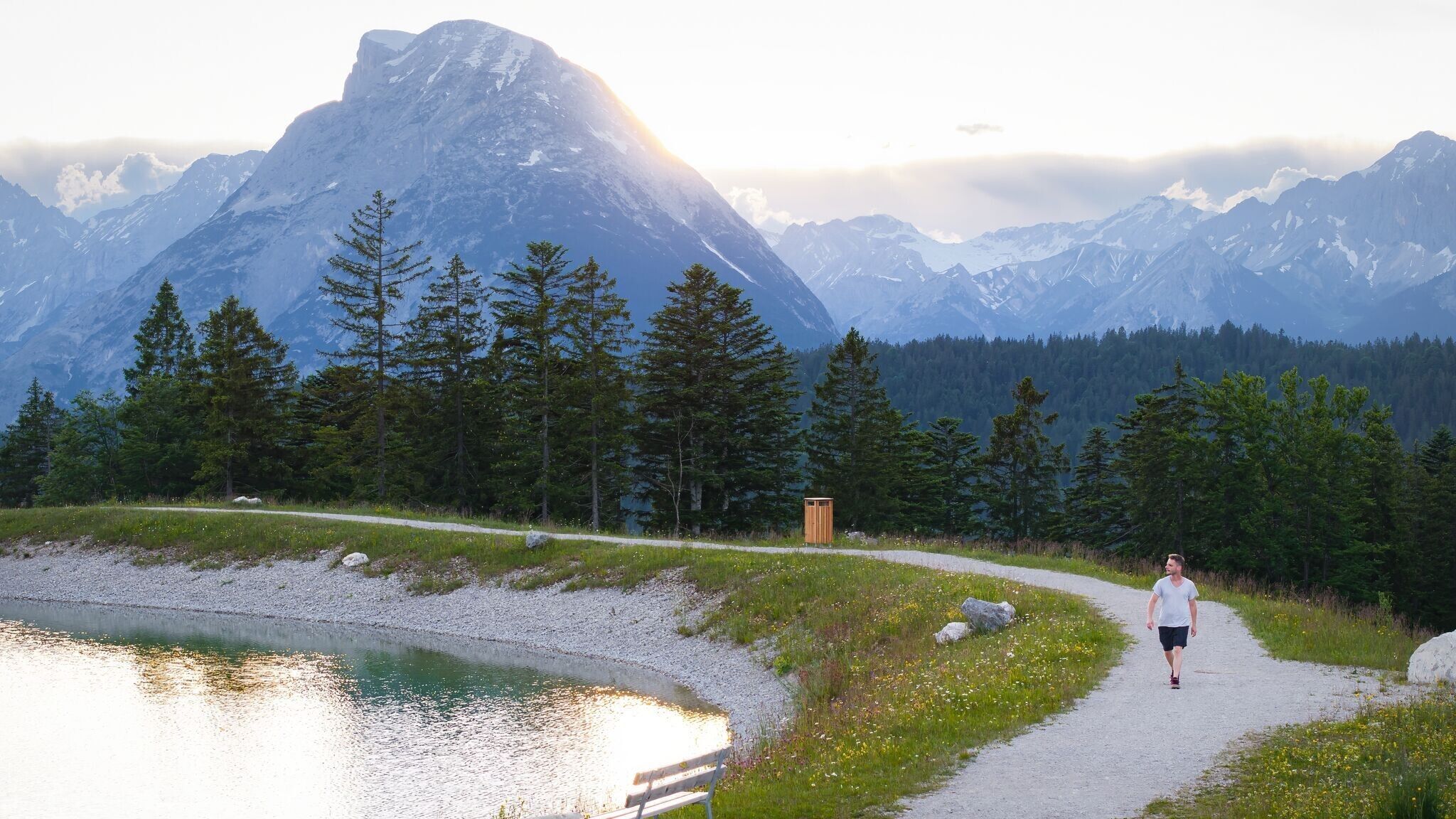
At the small chapel, the path crosses the road. Just on the left, a signpost points towards Gschwandtkopf. The route first follows Trail No. 4, which leads to a junction after about ten minutes. From here, Trail No. 85 continues uphill to the summit of Gschwandtkopf. At the top, the Sonnenalm invites visitors to take a break. Before descending, it is worth taking a short walk around the reservoir, which blends beautifully into the landscape and reflects the surrounding peaks in its calm waters.
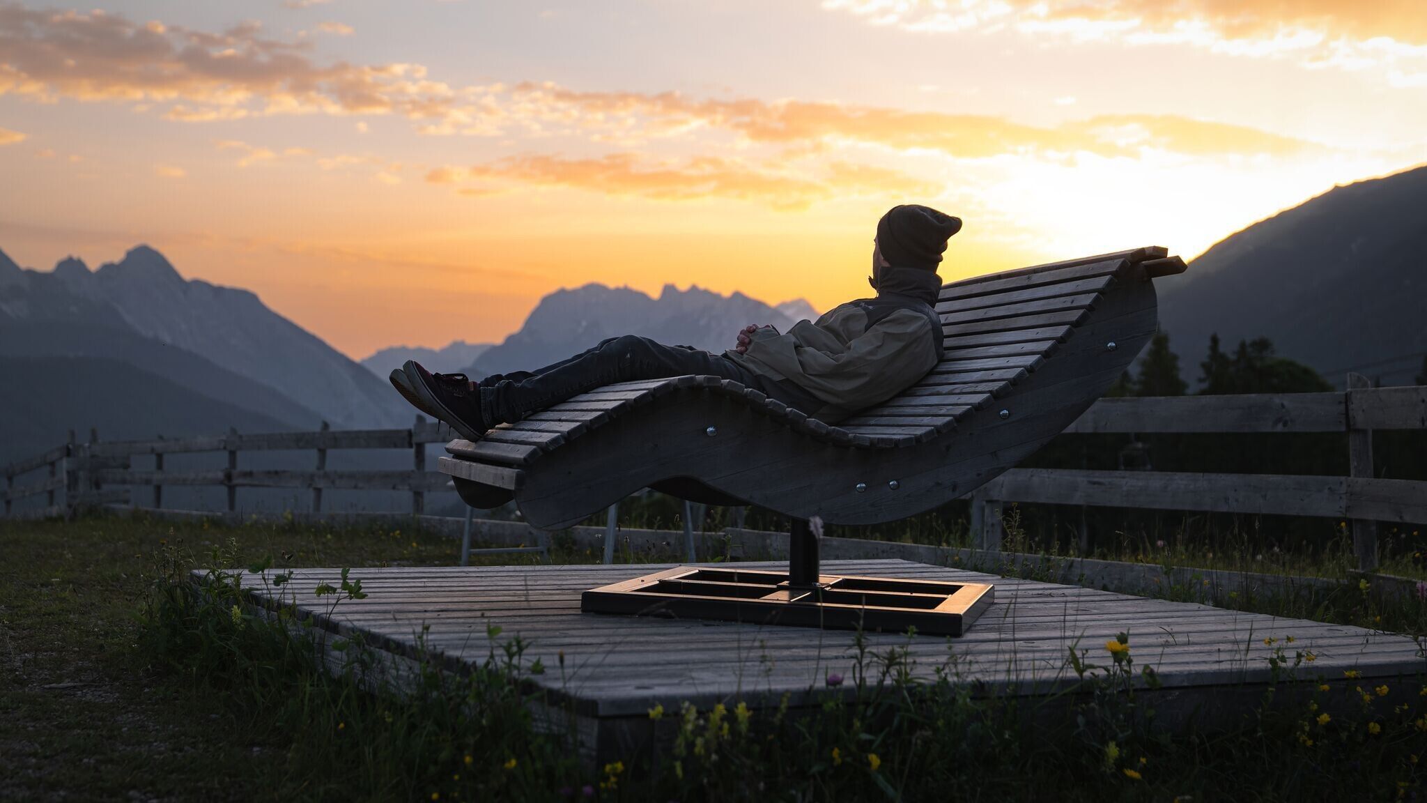
After the stop, the trail descends towards Wildsee. The picturesque lake accompanies the final section of the hike before arriving back at the starting point in Seefeld. A varied route that combines nature, movement, and stunning views.
Take public transport to Seefeld Railway Station.
All real-time connections can be found in the route planner.

.jpg")
.jpg")
.jpg")


 Olympiaregion Seefeld")


