Mountain hikes Haggen - Kraspessee lake (42)

St. Sigmund im Sellrain / Stubaier Alpen
Difficulty ratings: medium
Route length: 5.9 km

Haggen - Kraspessee lake (42)

Tour information

  • Requirement: medium
  • Length: 5.9 km
  • Elevation uphill:925 hm
Highest point2,554 m

Starting point

3903>hiking/mountain tour(s)

Finishing point

Krapessee

Best time of year

  • January
  • February
  • March
  • April
  • May
  • June
  • July
  • August
  • September
  • October
  • November
  • December

Trail condition

Forstweg, Steig

Description

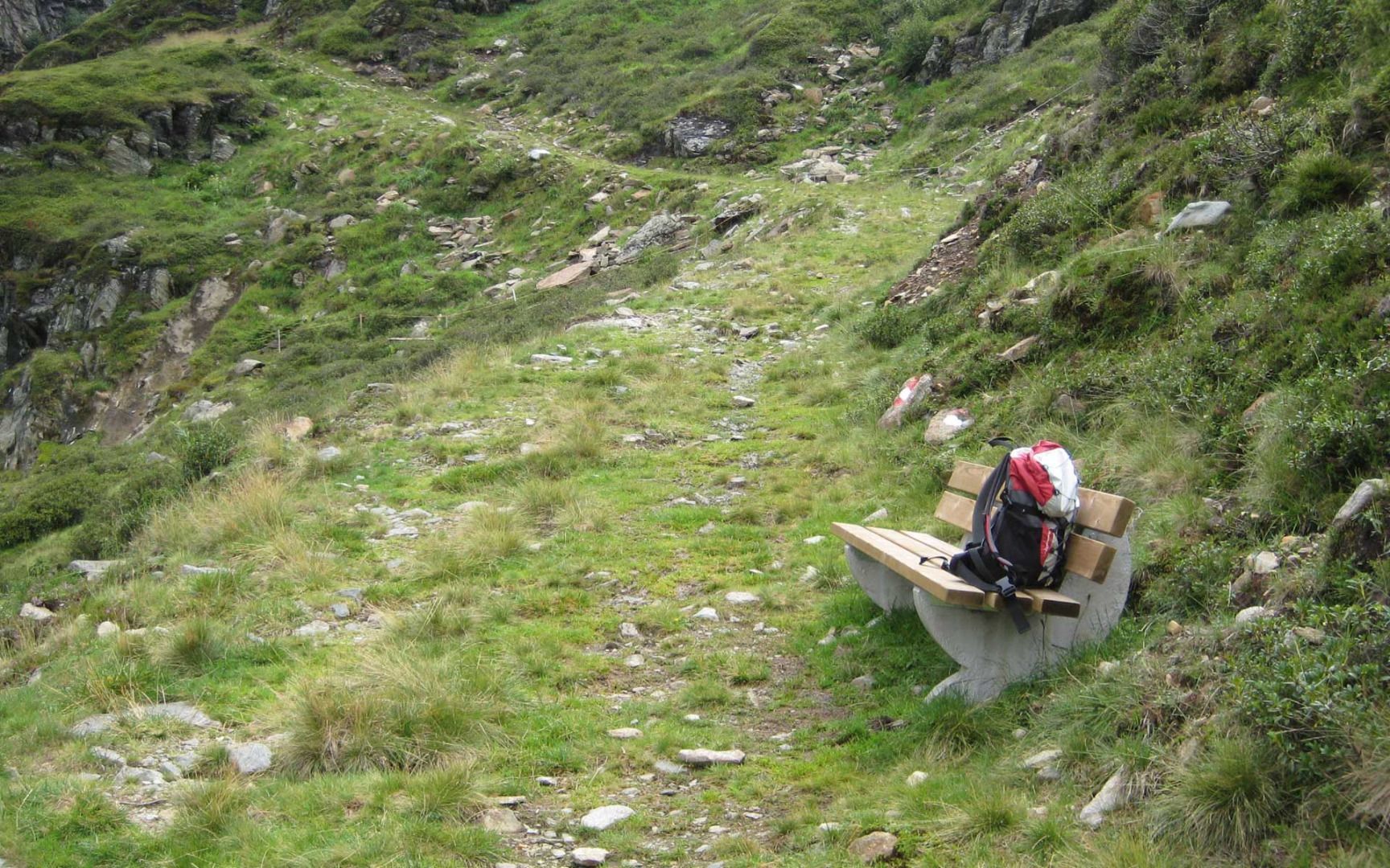
This hike starts from the Forellenhof restaurant, crosses the bridge and follows the path leading into the valley. Continue until about 2.5 km before the water catchment facility and then turn right to follow the steep path up to "Hüttl am Stoan". Keep following the path until you come to the point where two streams meet. Turn left past the Muggenbichl and continue through the second narrow ravine to Kraspessee lake. Be sure to take the same route back!

More tours in the surrounding area

Newsletter

The mountain is calling? So does our newsletter!

In our monthly newsletter we reveal the best holiday tips for Tyrol.