
Difficulty:
medium
Length:
9.2 km
Duration:
4:15 h
Elevation uphill:
700 m
Front-row hiking - magnificent panorama, aromatic herbs, mysterious lakes
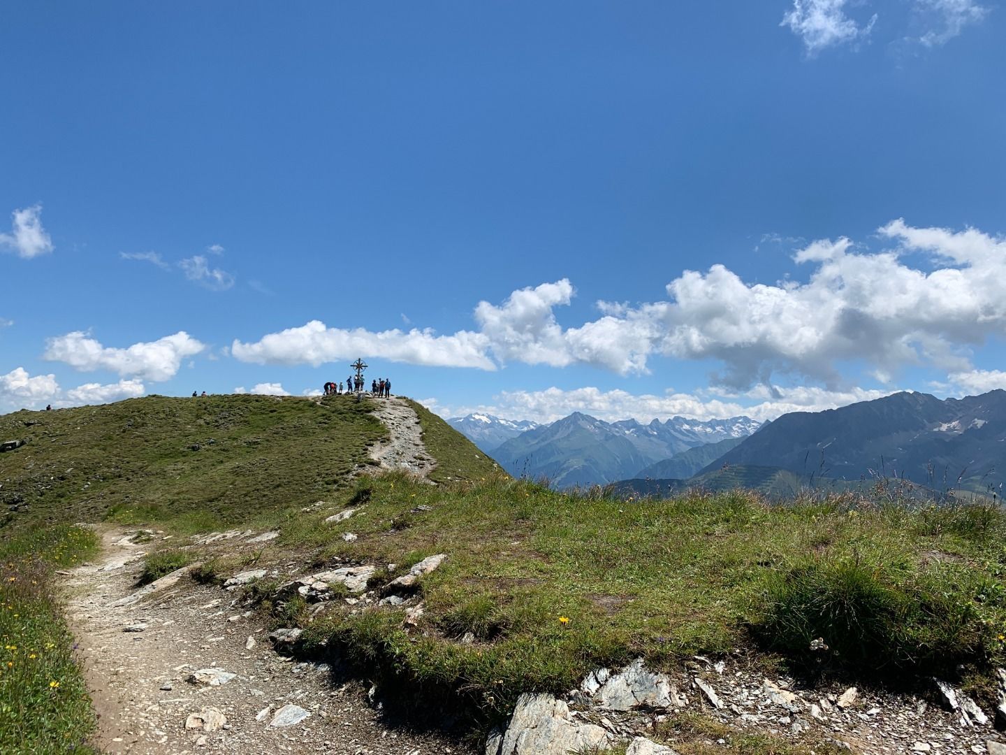
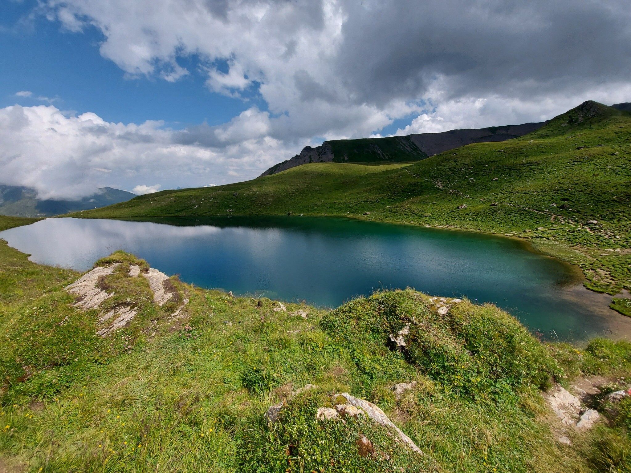


From Tux-Lanersbach you can take the Eggalm Bahnen up to 2,000 meters. From there, a well-marked path no 35 first leads in switchbacks to the Beil (2,300 m), and continues slightly uphill to the summit cross of the Grüblspitze (2,395 m). In order to reach the highest point of this hike, you have to overcome another 170 meters in altitude. On a narrow ridge it goes first a short piece downhill to the Zilljöchl and then somewhat steeper up in several hairpin bends to the Ramsjoch (2,508 m). Here you will find the "Stammgäste" summit cross. A mountain path no 45 leads on gravelly ground down to the green alpine depression with the lakes. At the Torsee (2,258 m) you meet the trail AV no 321 from the Wattener Lizum, which continues over the Nasse Tuxalm (1,843 m) to the Ramsangeralm (1,685 m) and over the Pfisterwaldweg to Tux-Lanersbach (no 33 & 21).


")


 Olpererhütte - Furtschaglhaus")
 Furtschaglhaus - Berliner Hütte")
 Friesenberghaus - Olpererhütte")

 Gamshütte - Friesenberghaus")


