Mountain hikes Großer Galtenberg

Alpbach / Kitzbüheler Alpen
Difficulty ratings: difficult
Route length: 16.7 km
Duration: 8:00 h

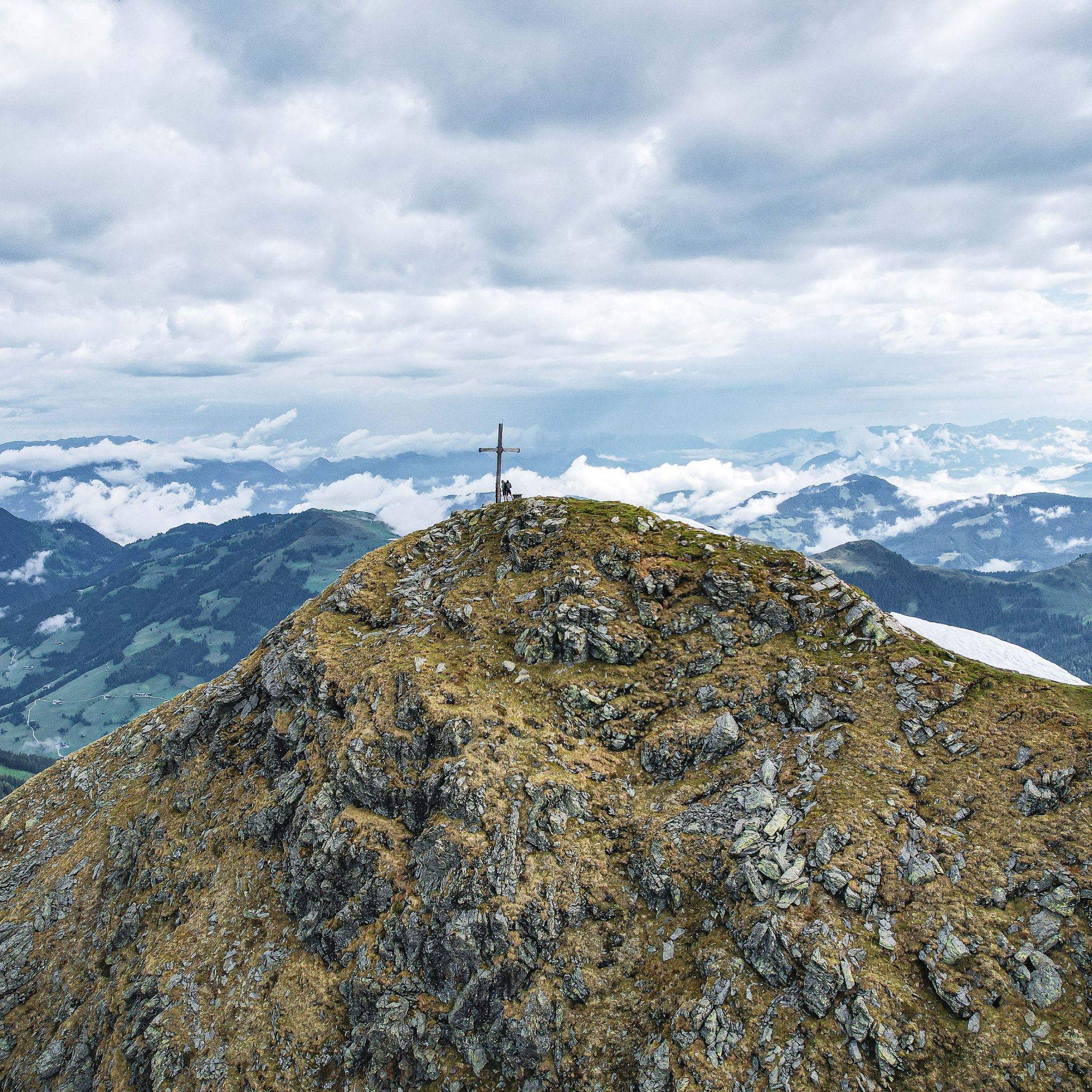
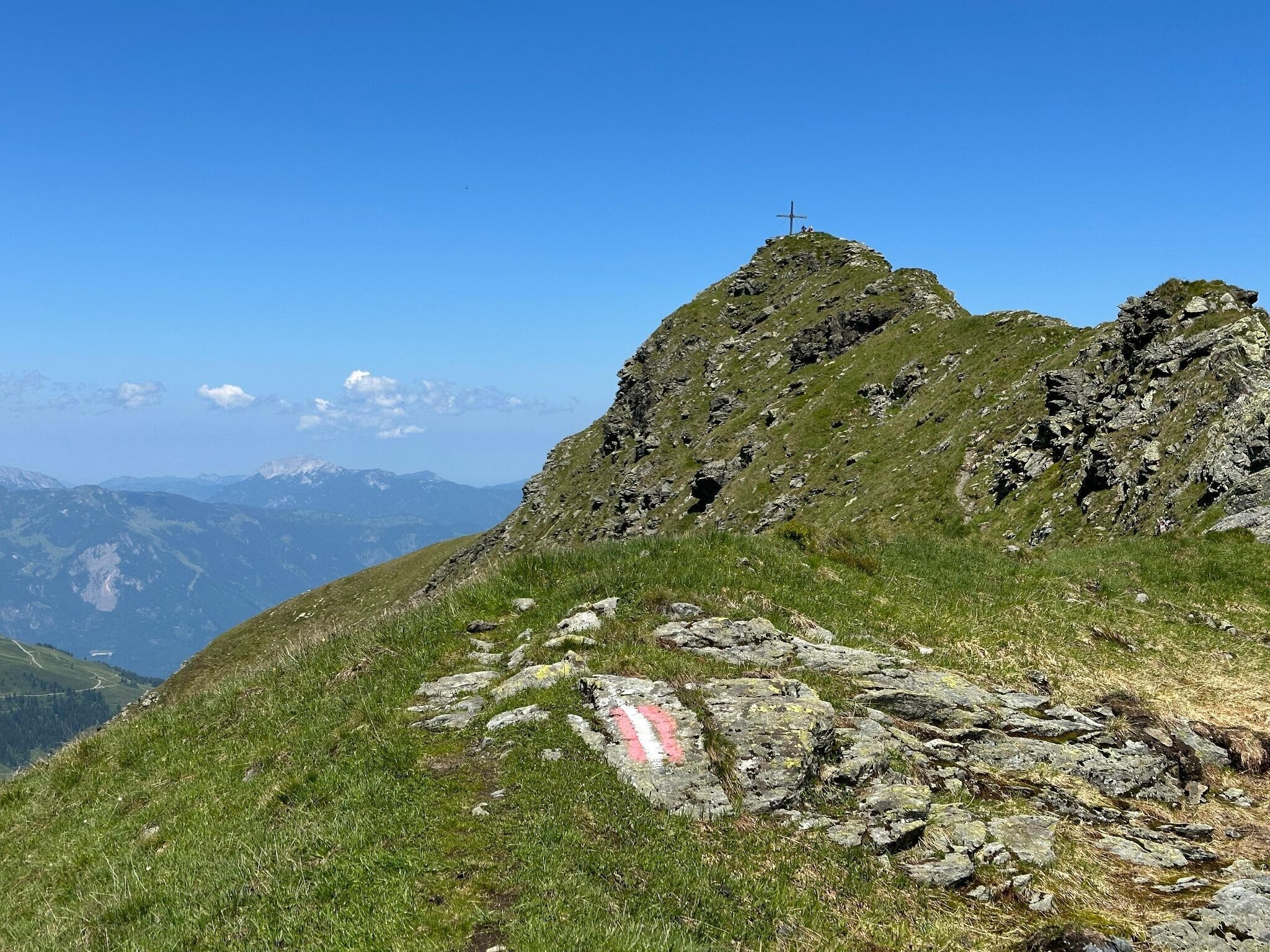
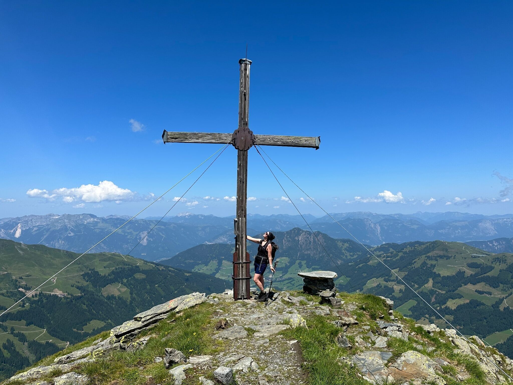
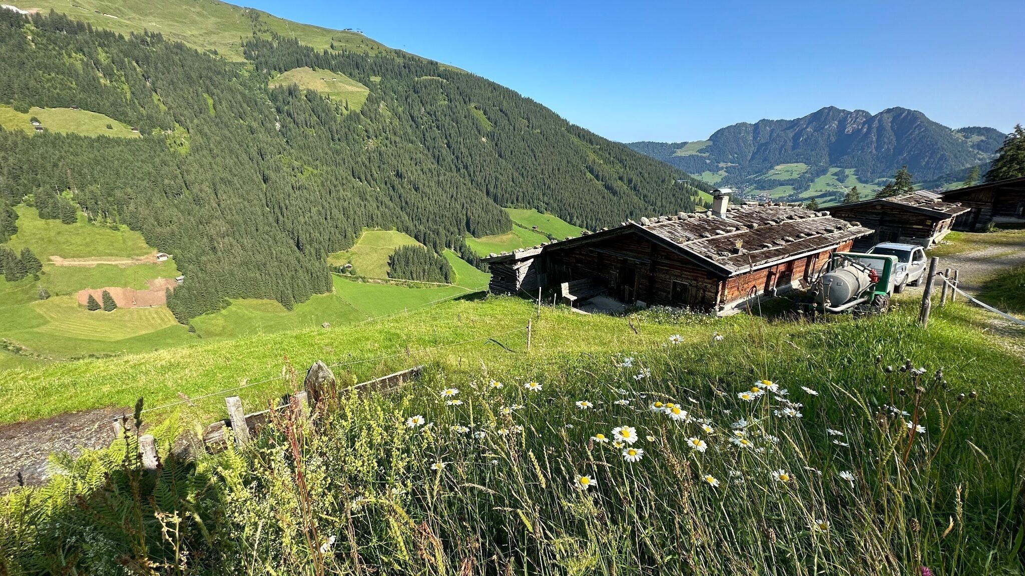
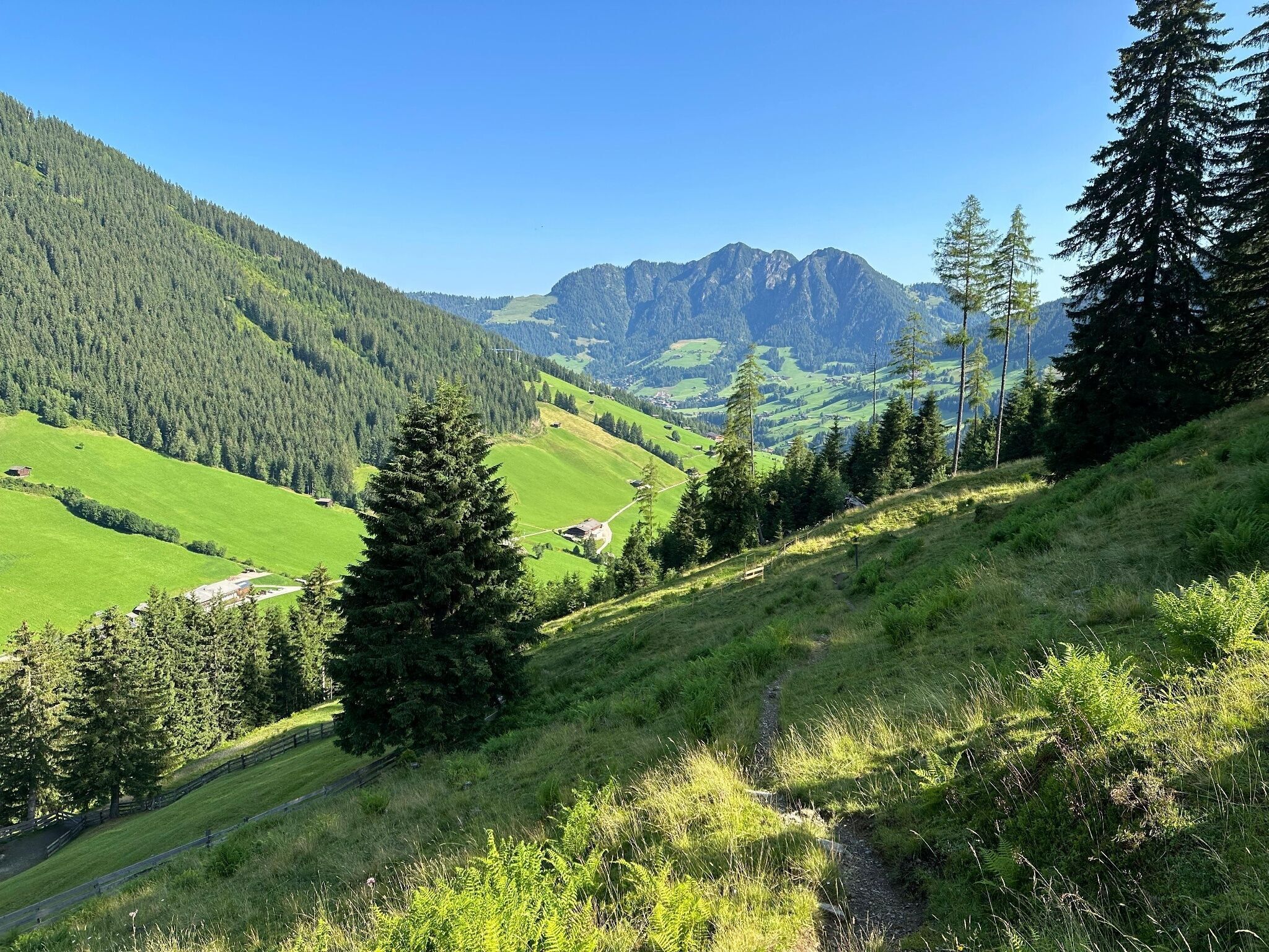
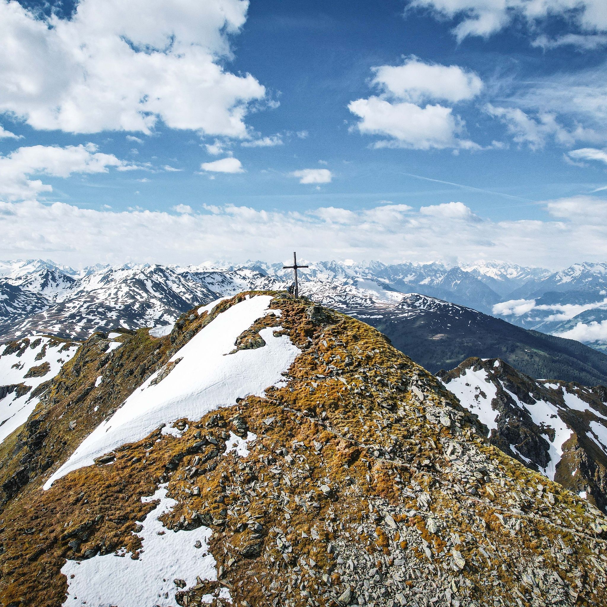
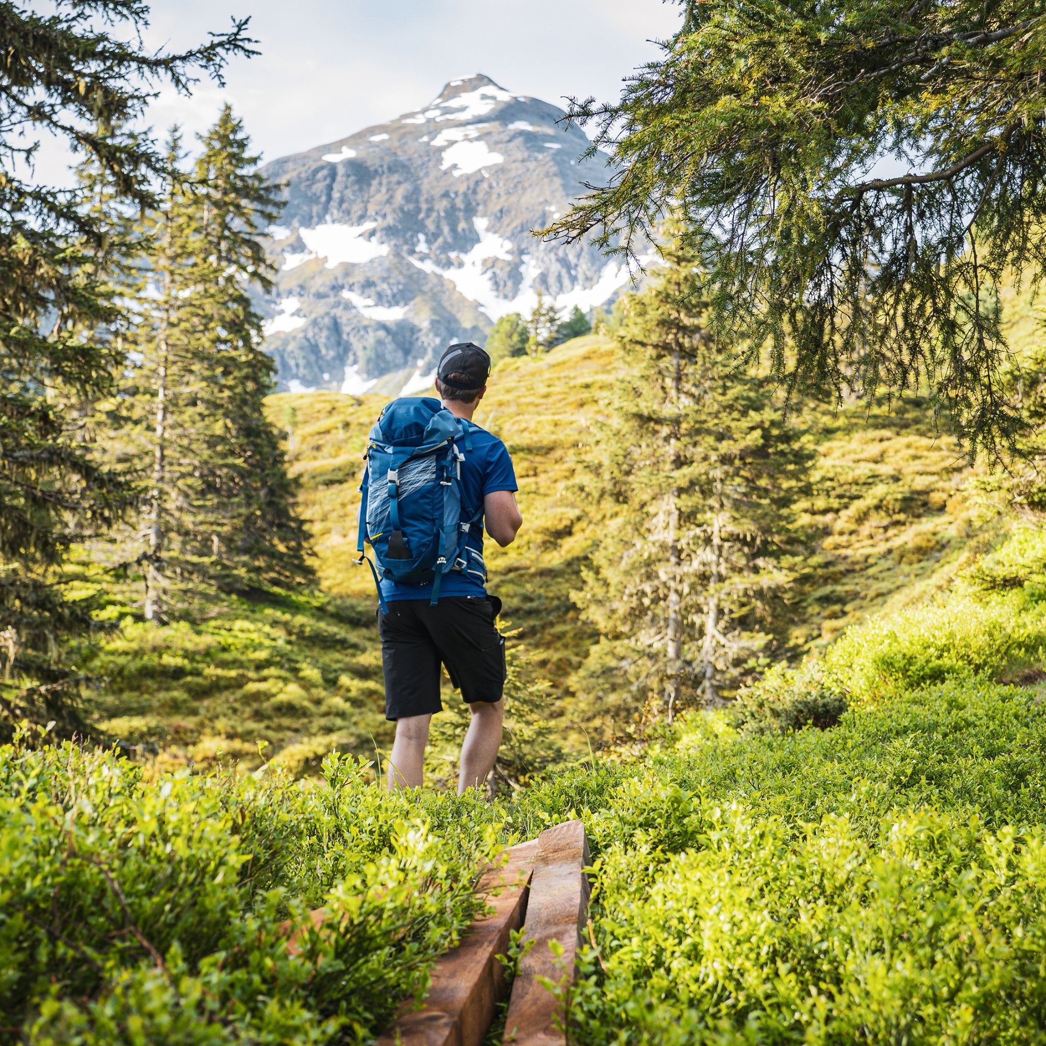
The Großer Galtenberg (2,424 m) is the highest mountain in the Kufstein district, considered the most beautiful viewpoint mountain in the area, and belongs to the mountain group of the Kitzbühel Alps.

Tour information

  • Requirement: difficult
  • Length: 16.7 km
  • Duration: 8:00 h
  • Elevation uphill:1,410 hm
  • Elevation downhill:1,410 hm
Highest point2,425 m

Starting point

Inneralpbach parking lot, Alpbach

Finishing point

Inneralpbach parking lot, Alpbach
  • Fitness level 6 / 6

Best time of year

  • January
  • February
  • March
  • April
  • May
  • June
  • July
  • August
  • September
  • October
  • November
  • December

Equipment

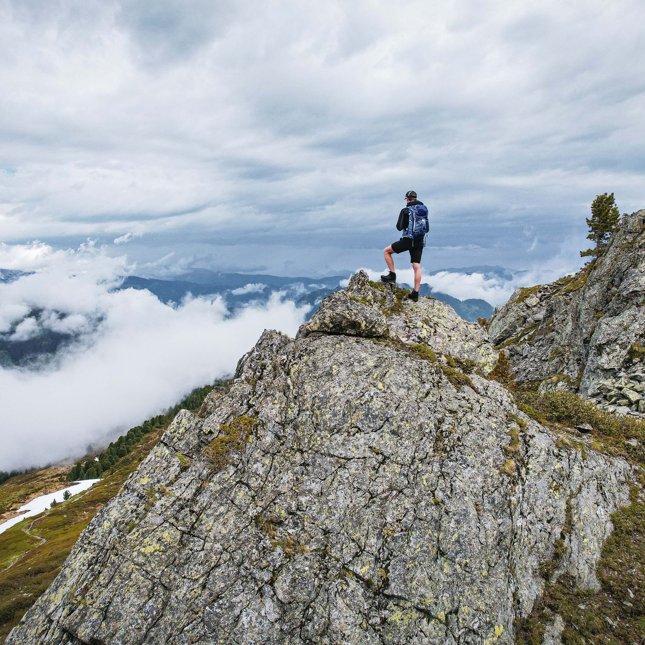
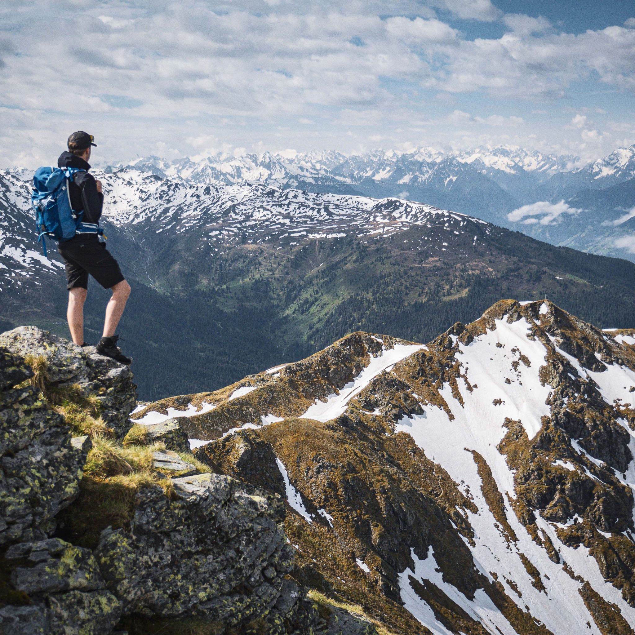
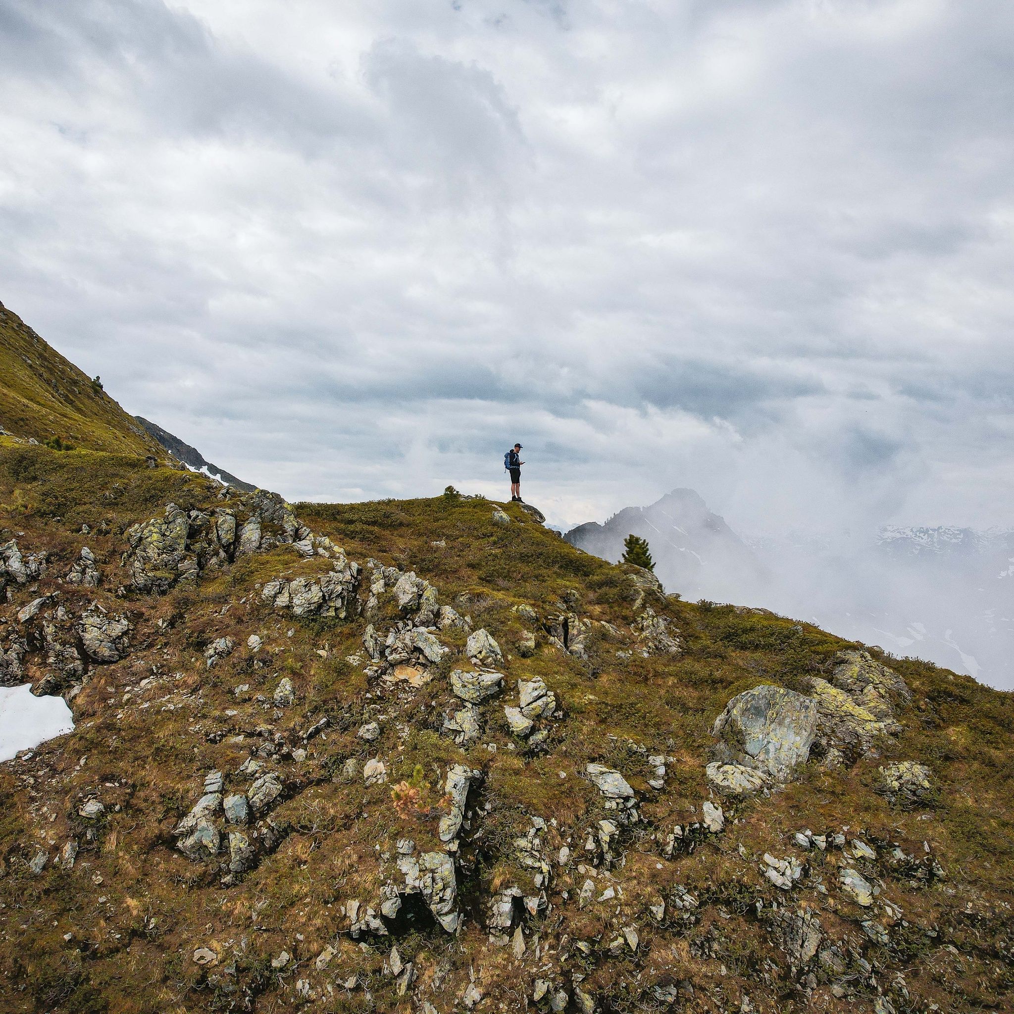
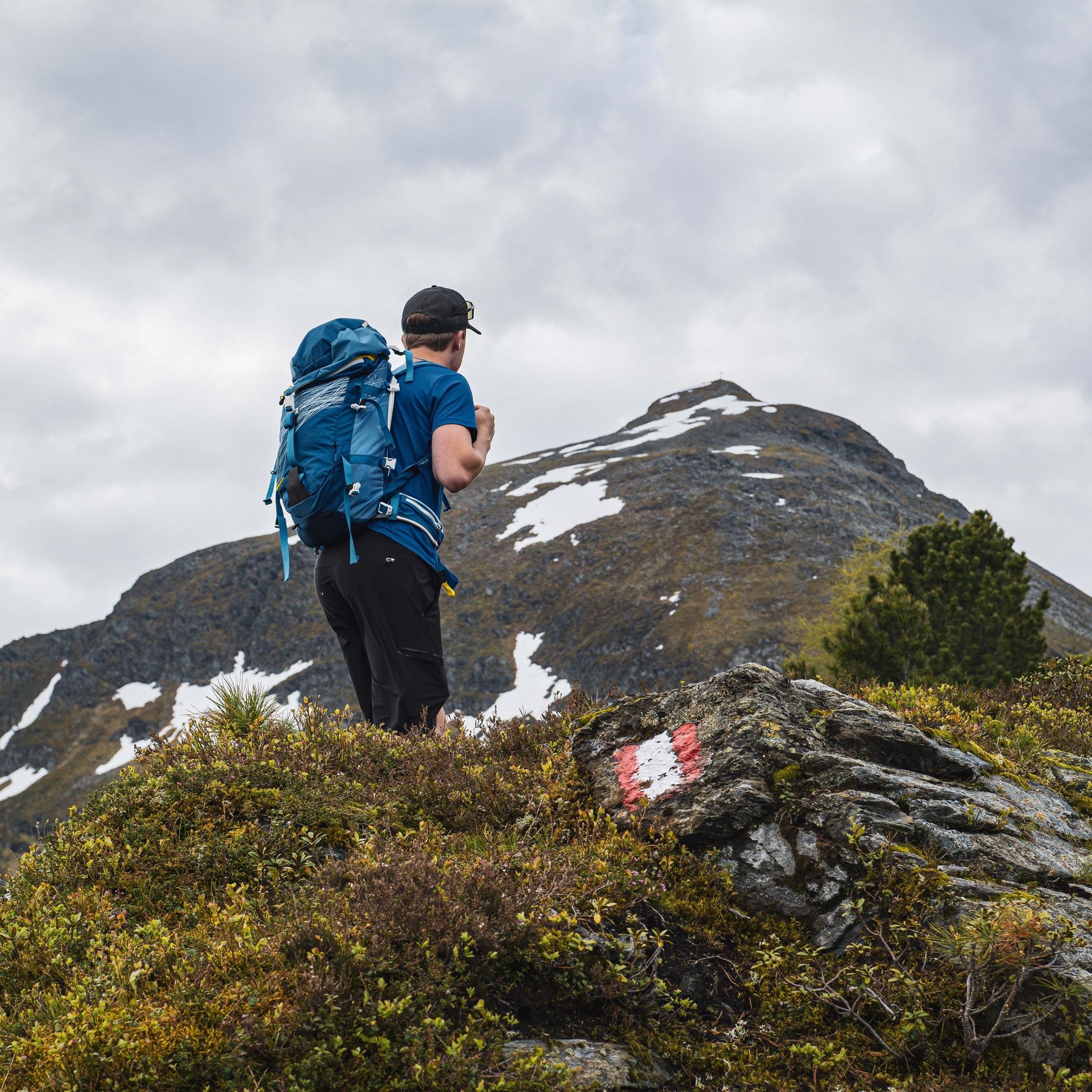
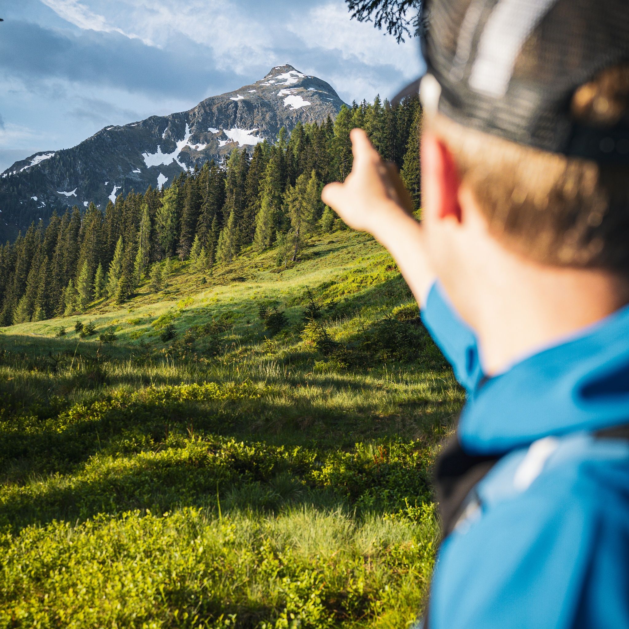
You are in high alpine terrain. Surefootedness is required on the way to the summit.

Warning: physically demanding!

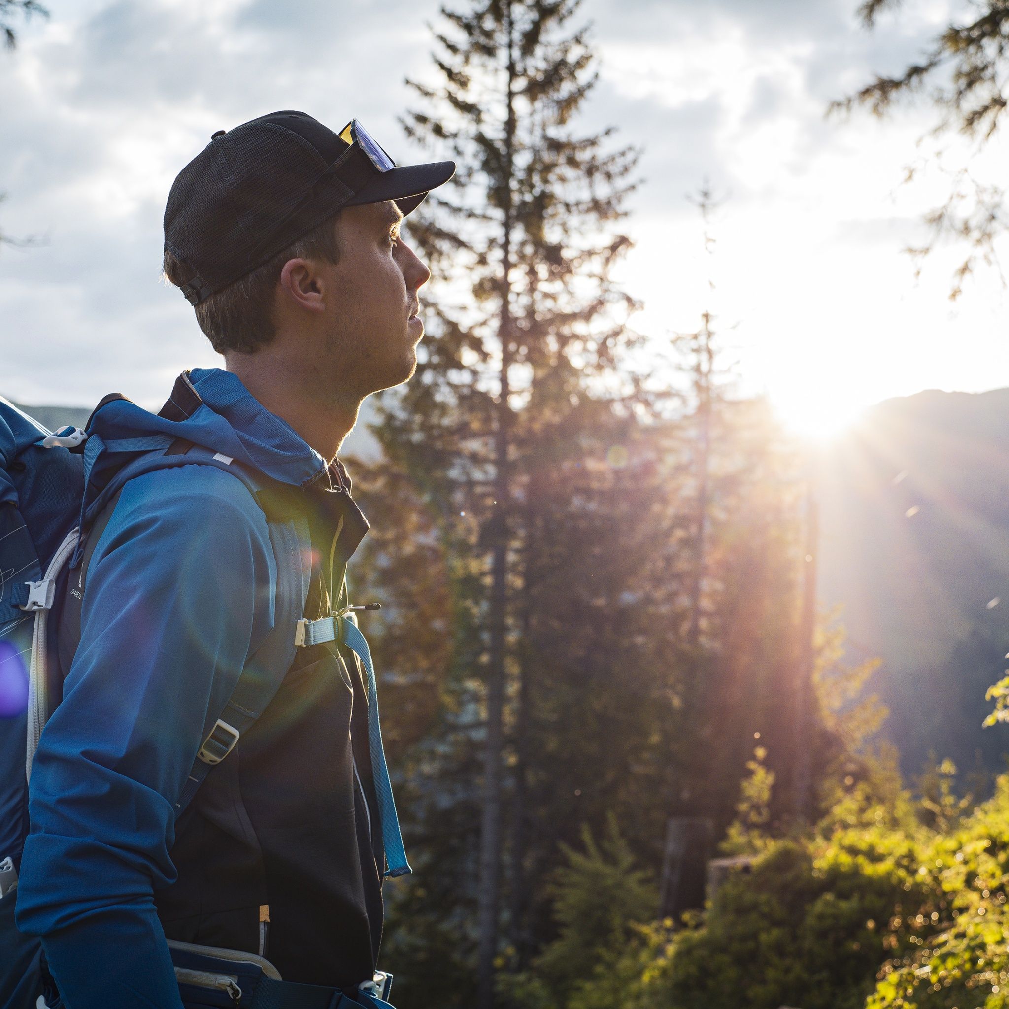
Sturdy shoes and weather-appropriate clothing

Source: Alpbachtal

Description

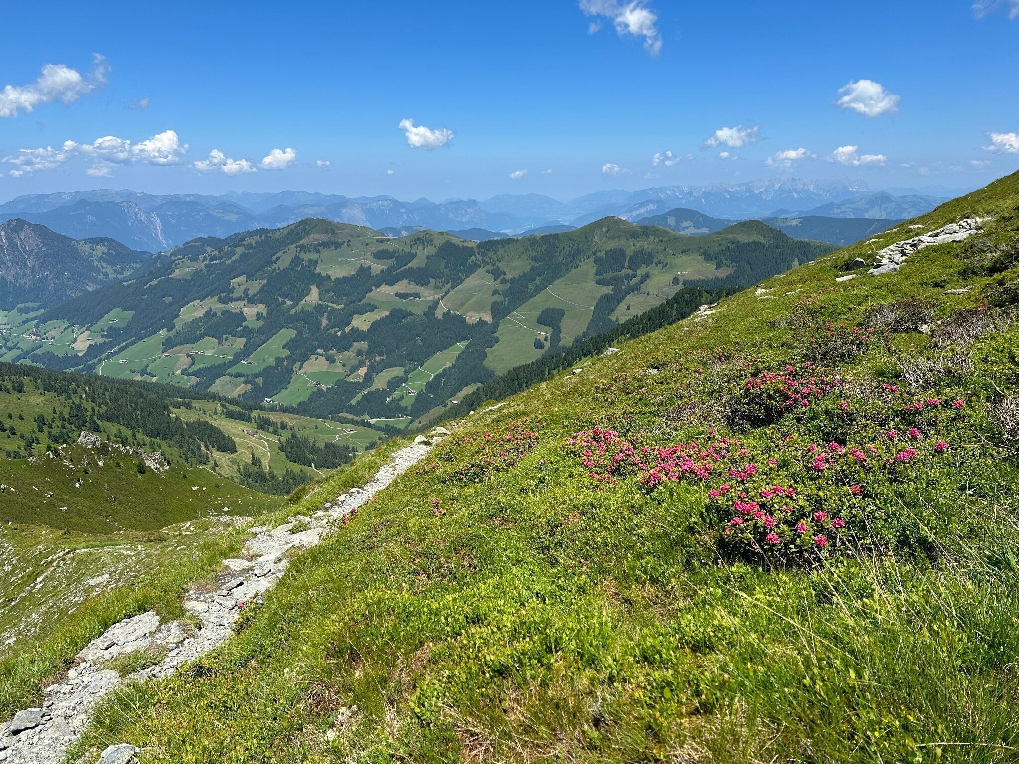
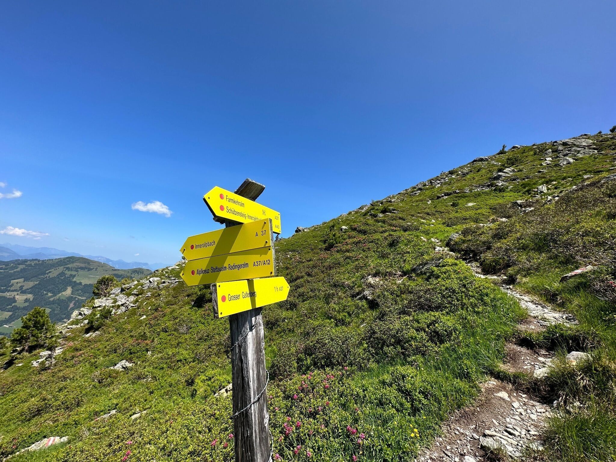
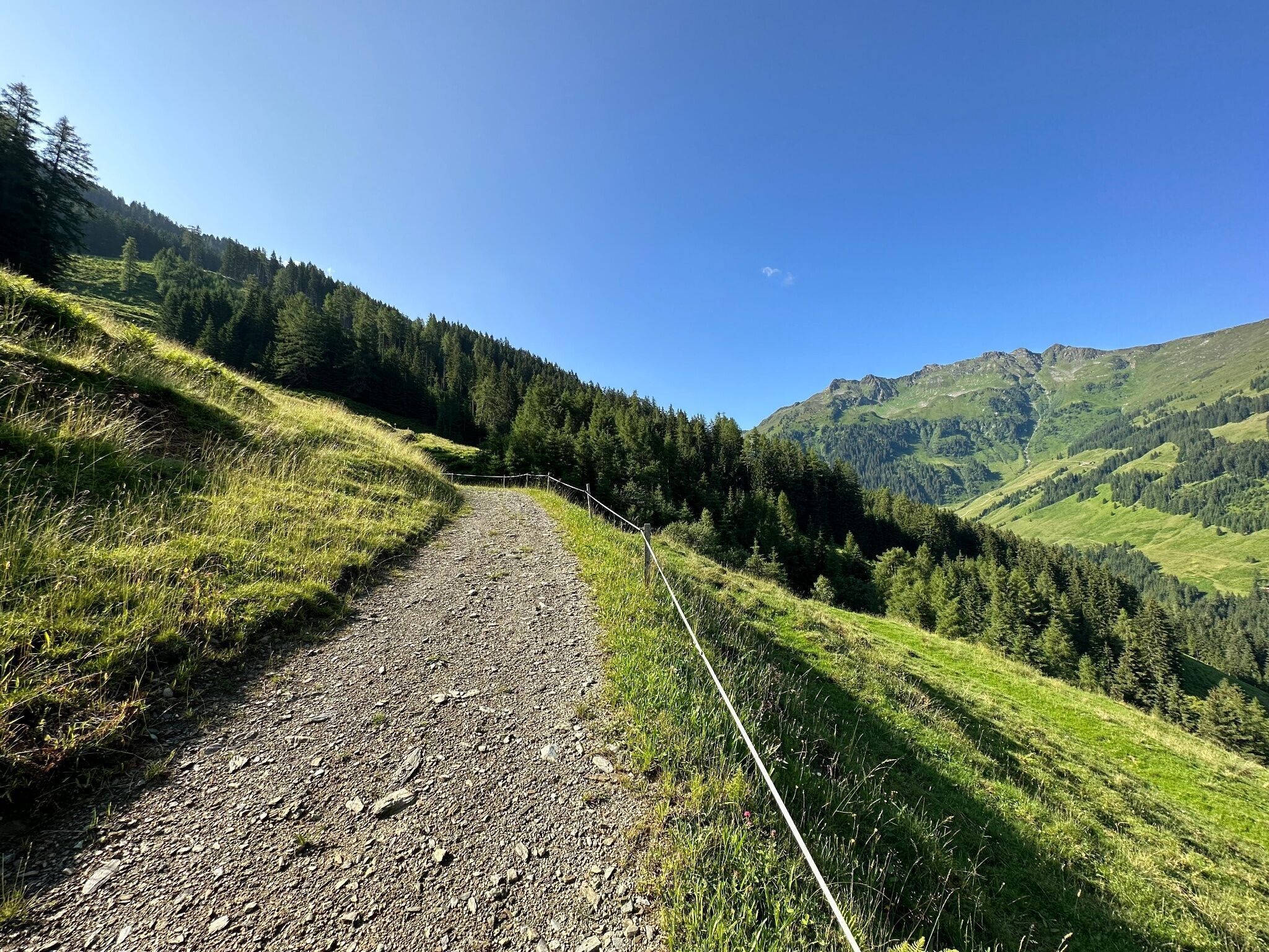
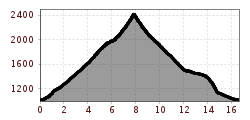
The hike starts directly in Inneralpbach. Past the Hotel Galtenberg, head upwards towards the Bergbauernmuseum Inneralpbach. Right there, the path leads right past the museum and onto path no. A37. Here you hike upwards to the Alplkreuz (forest crossroads approx. 1 h 45 min). Follow the signs for "Galtenberg" and cross the mountain ridge to the fork (approx. 1 h 30 min from Alplkreuz) and continue on path A37 to the Großer Galtenberg (total ascent approx. 4 h).

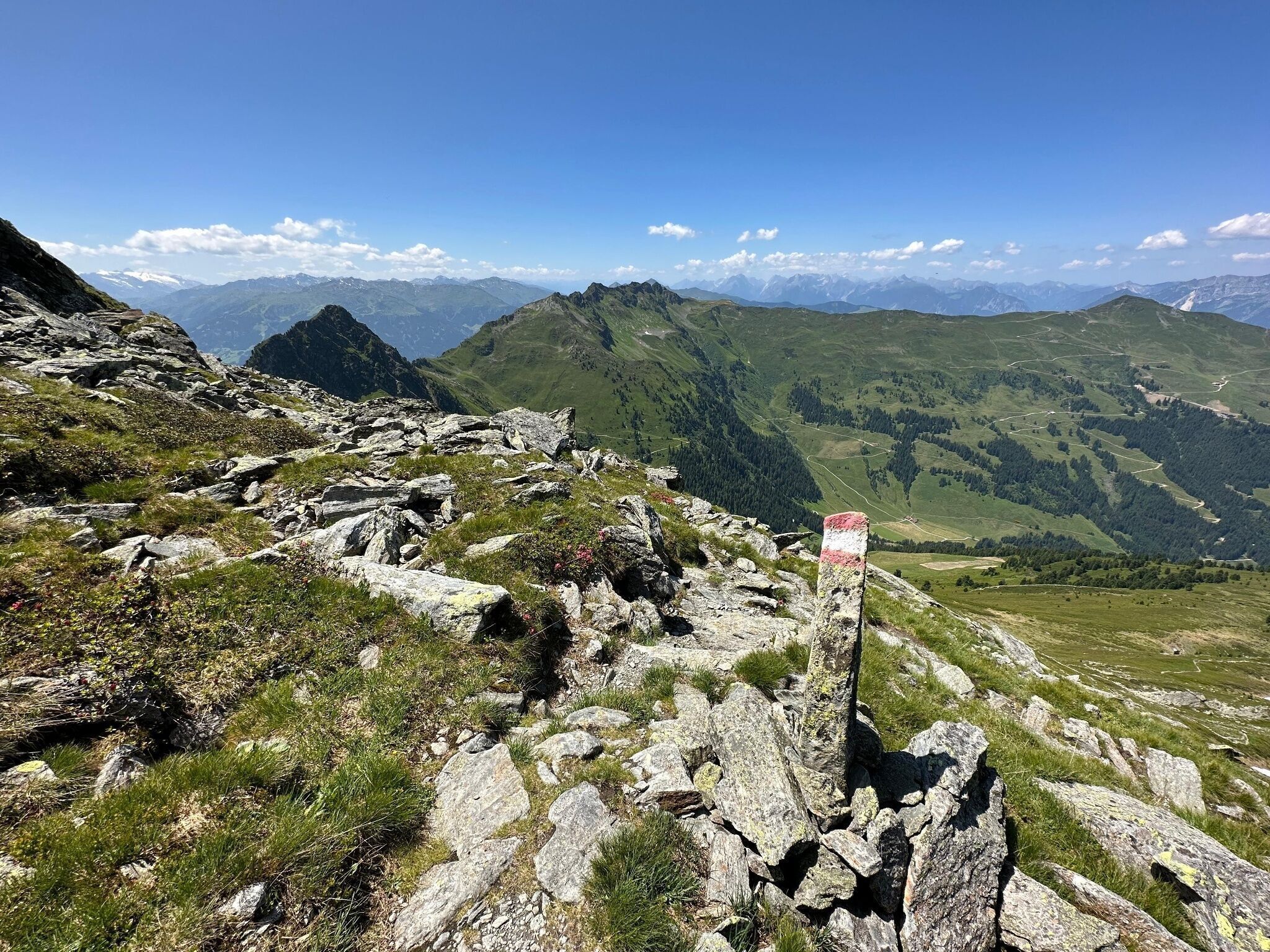
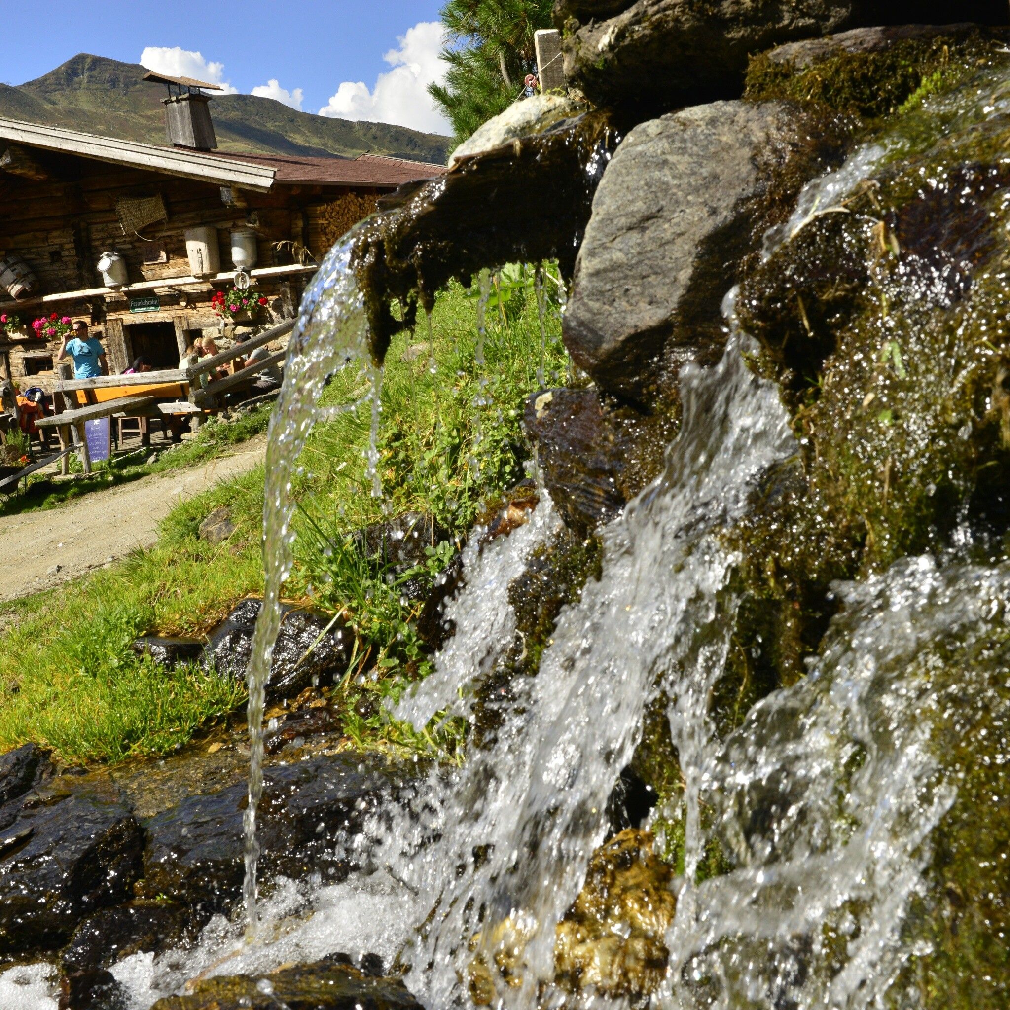
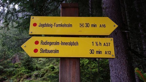
Descent variant 1: Back to the fork (saddle), then left towards Farmkehralm Hochleger and further to the cozy Farmkehralm (refreshment option). Then hike back to Inneralpbach via the Jagdsteig.

Descent variant 2: Back to the fork (saddle), then left towards Farmkehralm Hochleger and via the Schützensteig to Stettaueralm and back to Inneralpbach.

Descent variant 3: From the summit cross head south towards "Kleiner Galtenberg." At the next saddle turn right, descend steeply via the "Farmkehrpfanne" to Farmkehr Hochleger and via the Schützensteig to Inneralpbach or via the Farmkehralm (refreshment option) and the Jagdsteig to Inneralpbach.


Nearby huts and mountain restaurants

Getting here

  • Parking

    Inneralpbach parking lot

More tours in the surrounding area

  • Voldöpper Spitze Loop Hike

    Difficulty: medium
    Length: 12.9 km Duration: 5:00 h Elevation uphill: 988 m
  • Kundler Klamm

    Opening hours: closed
    Difficulty: easy
    Length: 6.4 km Duration: 2:00 h Elevation uphill: 116 m
  • Farmkehralm 1.521 m

    Difficulty: medium
    Length: 9.3 km Duration: 3:30 h Elevation uphill: 506 m
  • Wiedersberger Horn Panorama Path

    Difficulty: easy
    Length: 4.1 km Duration: 1:30 h Elevation uphill: 195 m
  • Day 1: 4 days - 4 summits tour

    Difficulty: medium
    Length: 9.8 km Duration: 5:00 h Elevation uphill: 984 m
  • 3-peak-tour Kienberg-Plessenberg-Heuberg

    Difficulty: medium
    Length: 8.6 km Duration: 4:30 h Elevation uphill: 779 m
  • Day 3: 4 days - 4 summits tour

    Difficulty: medium
    Length: 19.3 km Duration: 8:00 h Elevation uphill: 1,371 m
  • 4 days - 4 summits tour

    Difficulty: medium
    Length: 54.4 km Duration: 23:00 h Elevation uphill: 3,408 m
  • Kaiser Gorge - loop trail

    Opening hours: closed
    Difficulty: easy
    Length: 4.2 km Duration: 1:00 h Elevation uphill: 198 m
  • Loop tour Juppi Zauberwald

    Difficulty: easy
    Length: 2.5 km Duration: 1:00 h Elevation uphill: 93 m
  • 3-day Family Tour Alpbachtal

    Difficulty: easy
    Length: 18.3 km Duration: 7:00 h Elevation uphill: 998 m
  • Barrier-free path Lake Reintal

    Difficulty: easy
    Length: 6.5 km Duration: 1:45 h Elevation uphill: 15 m
  • Discovering the Tiefenbach Gorge Hike

    Opening hours: closed
    Difficulty: medium
    Length: 5.7 km Duration: 3:30 h Elevation uphill: 669 m
Newsletter

The mountain is calling? So does our newsletter!

In our monthly newsletter we reveal the best holiday tips for Tyrol.