Mountain hikes Gramai Alm - Lamsenjochhütte - Lamsenspitze - Gramai Alm

Vomp /
Difficulty ratings: difficult
Route length: 11.3 km
Duration: 7:15 h

Gramai Alm - Lamsenjochhütte - Lamsenspitze - Gramai Alm

Tour information

  • Requirement: difficult
  • Length: 11.3 km
  • Duration: 7:15 h
  • Elevation uphill:1230 hm
  • Elevation downhill:1230 hm
Highest point 2,508 m

Starting point

Pertisau, Gramai Alm

Finishing point

Pertisau, Gramai Alm

Best time of year

  • January
  • February
  • March
  • April
  • May
  • June
  • July
  • August
  • September
  • October
  • November
  • December

Trail condition

hiking trail, partially secured with iron steps and a steel rope, exposed areas

Equipment

Sturdy boots (ankle-high hiking boots), weather appropriate clothing, enough to eat and drink, via ferrata set.

Description

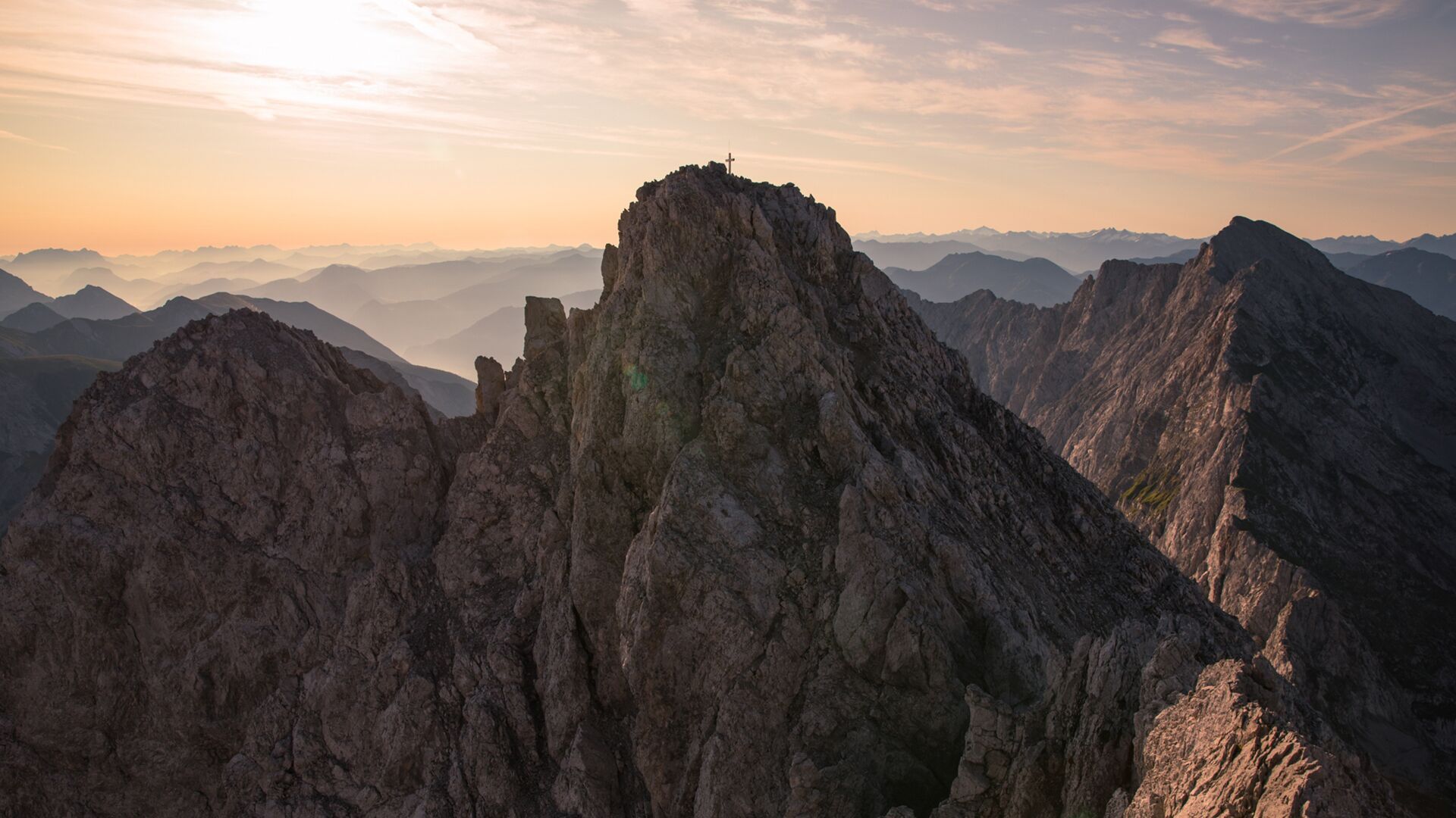
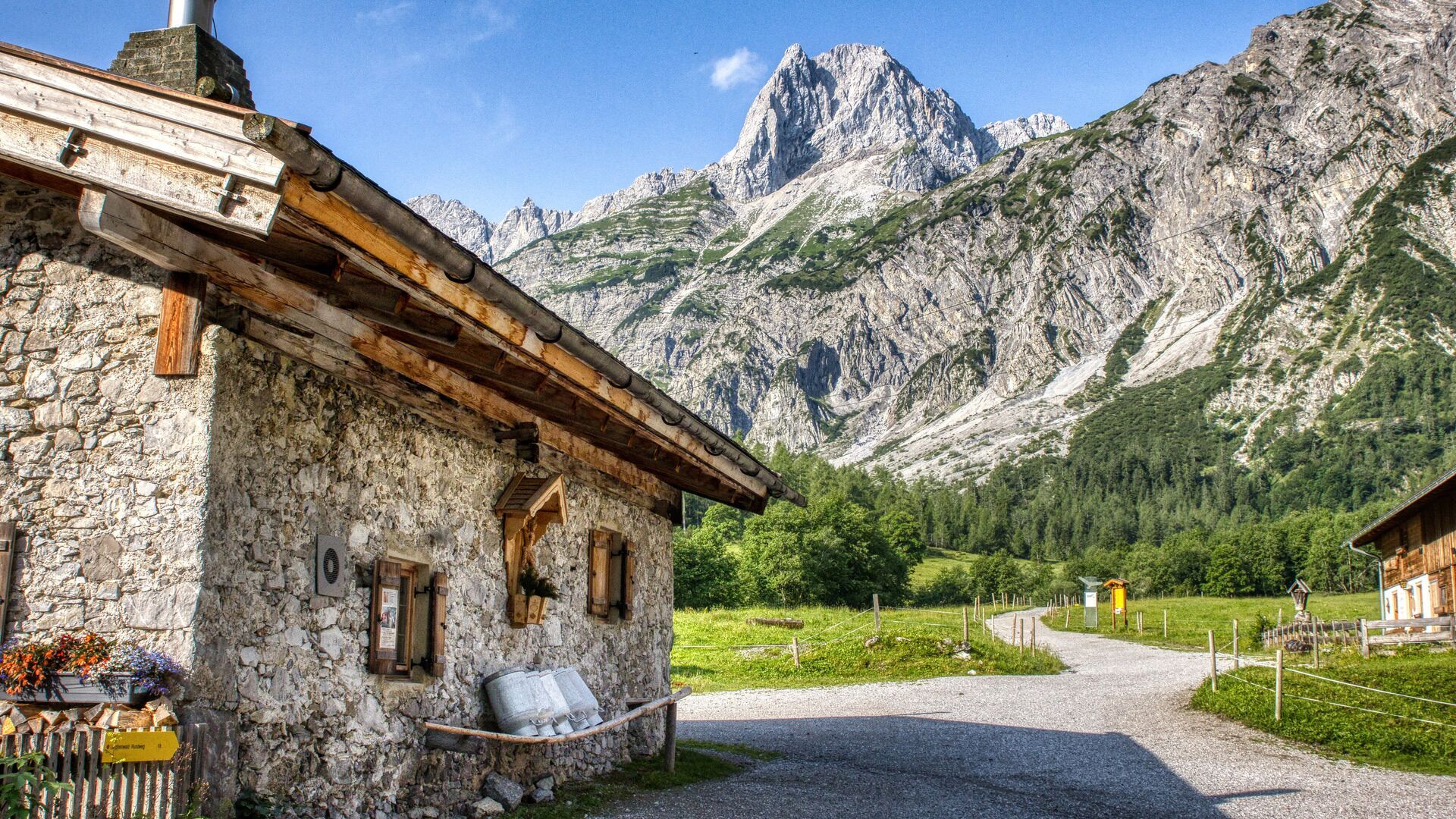
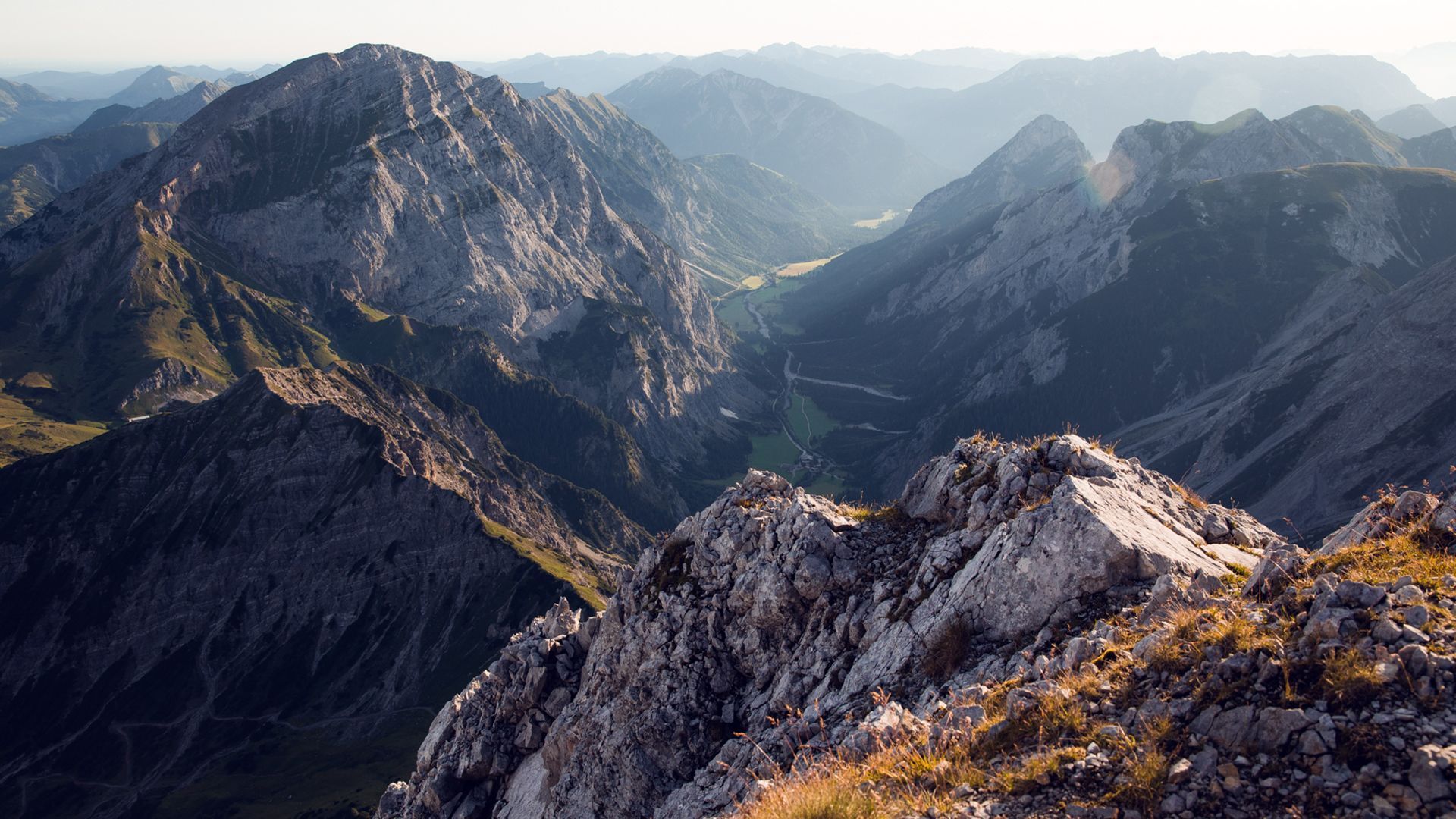
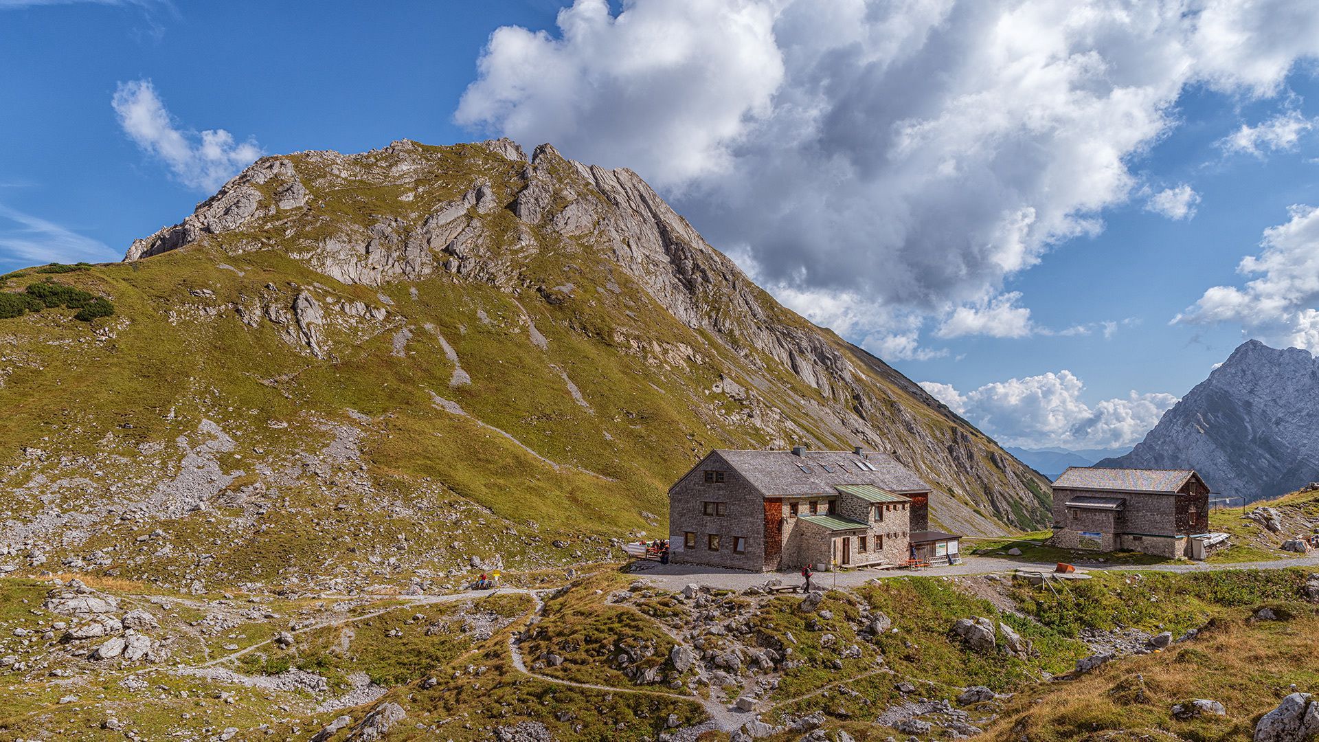
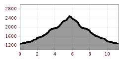
From the Gramai Alm (1,263 metres), walk past the mountain hut Lamsenjochhütte (1,953 metres). The trail is well signposted and meanders uphill next to the talus field to the foot of the rock. Follow the trail (secured with a steel rope) as it climbs, partially exposed, to the Lamsenscharte. Turn right and walk through the Lamskar. Another partially exposed trail leads uphill, secured with iron steps and a steel rope, until it reaches a talus field below the summit (2,508 metres). The return is via the same route. This tour requires sure-footedness and a head for heights!

Getting here

  • Arrival by public transport

    By regional bus (line 8332 or 390) to the toll station at the entrance to the Karwendel valleys in Pertisau (exit bus stop: Pertisau Karwendeltäler), change to the nostalgic bus to the Gramai Alm (in operation from mid-May 2025). View timetable and contact.

  • Parking

    Car park at the Gramai Alm

Weather

More tours in the surrounding area

Newsletter

The mountain is calling? So does our newsletter!

In our weekly newsletter we reveal the best holiday tips for Tyrol.