
Opening hours:
closed
Difficulty:
easy
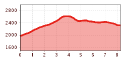
Length:
573 m
Duration:
0:20 h
Elevation uphill:
12 m
Glockhäuser from Komperdell
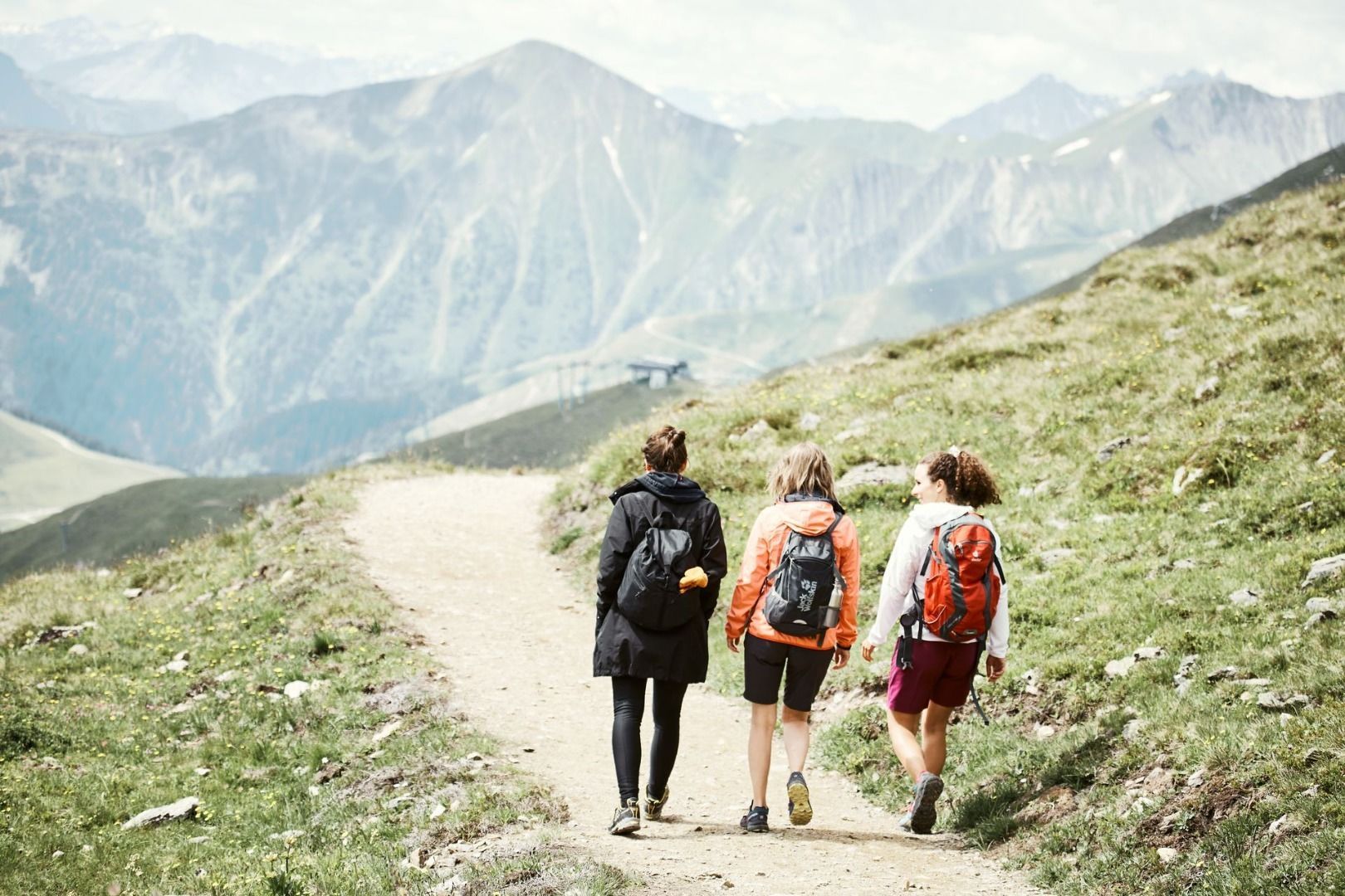
From the Komperdell top station (S201) on the Furglerseesteig trail no. 21 (Weitwanderweg trail 702) to the crossing (S208). Continue westwards on trail no. 22 to the Untere Glockhäuser lakes (S261) and via trail no. 22a to the Obere Glockhäuser lakes (S263). Descent on trail no 24 to the Furglersee lake (S211) and on the Kitzköpfl Steig trail no. 25a to the Scheid. On the broad roadway to the Lazid top station.


