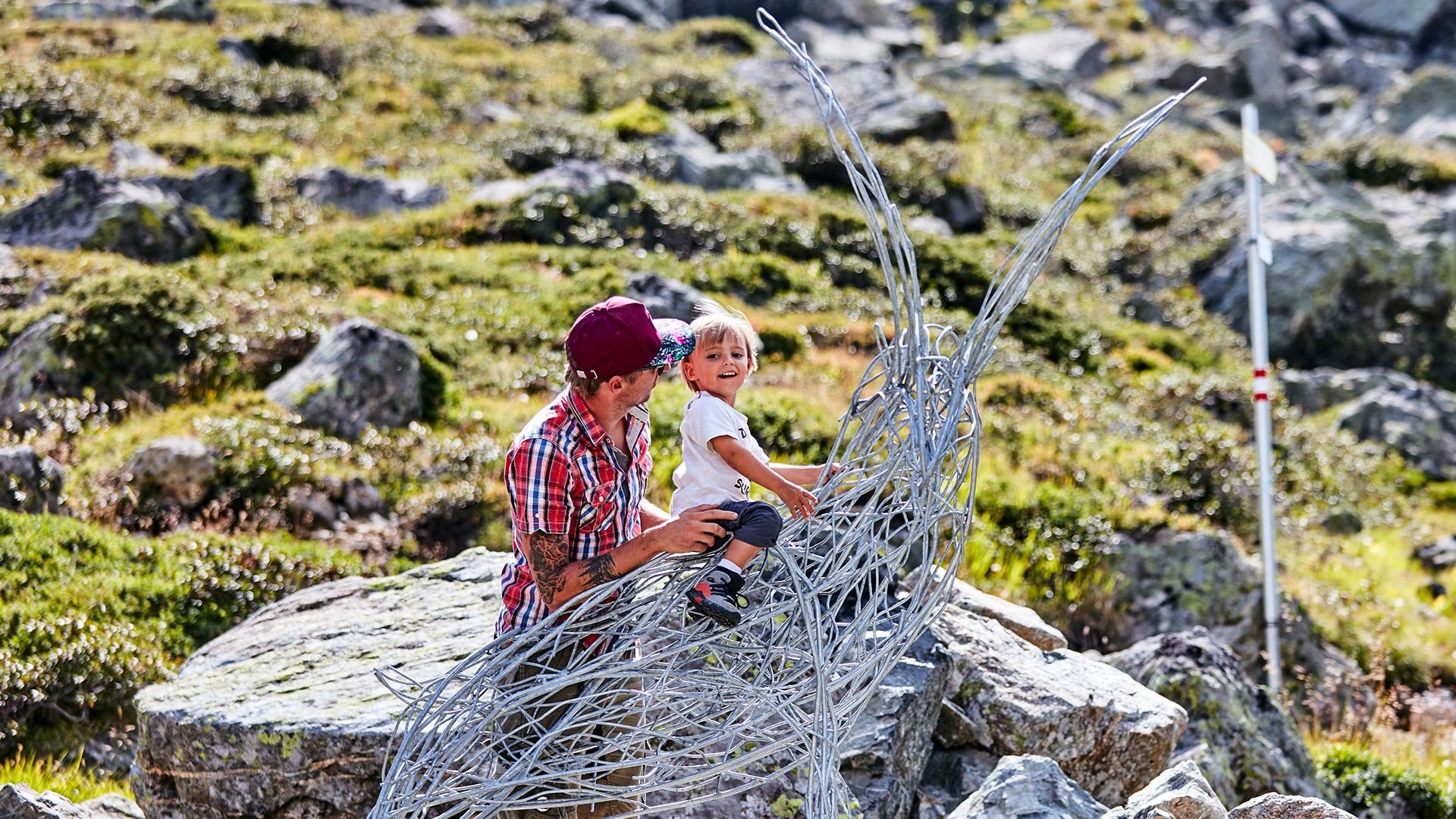
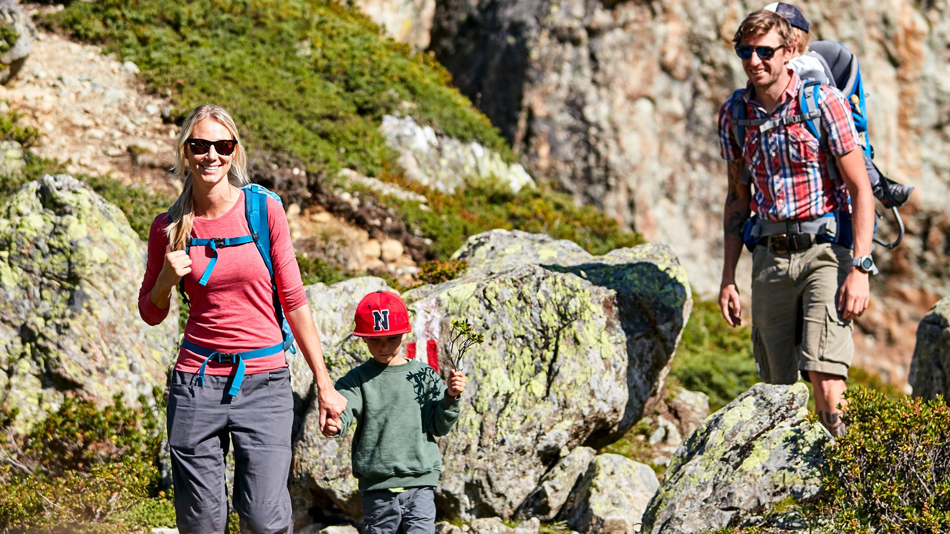
Description
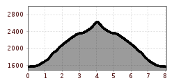
Starting from the village square in Galtür follow the signs to the sports- & culture centre and then ascent towards the Predigberg through the forest. After 1 ½ hours the landscape changes into a more alpine surrounding and you will reach the „Bödale“ which is a popular spot for paragliders. Here you already have a magnificant view into the valley. After that the trail gets steeper and especially the last part of it requires step security on coarse gravel. This tour to the 2.645 metre high summit offers great views to the surrounding mountains of the Silvretta, the Jamtal and Lareintal. Especially the view to the local mountains Gorfenspitze and Ballunspitze will take your breath away. Return section: along the road towards Vergiel back to the village or on the same way as the ascent.


.jpg")
.jpg")
.jpg")
.jpg")
.jpg")

