
Opening hours:
closed
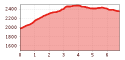
Difficulty:
easy
Length:
573 m
Duration:
0:20 h
Elevation uphill:
12 m
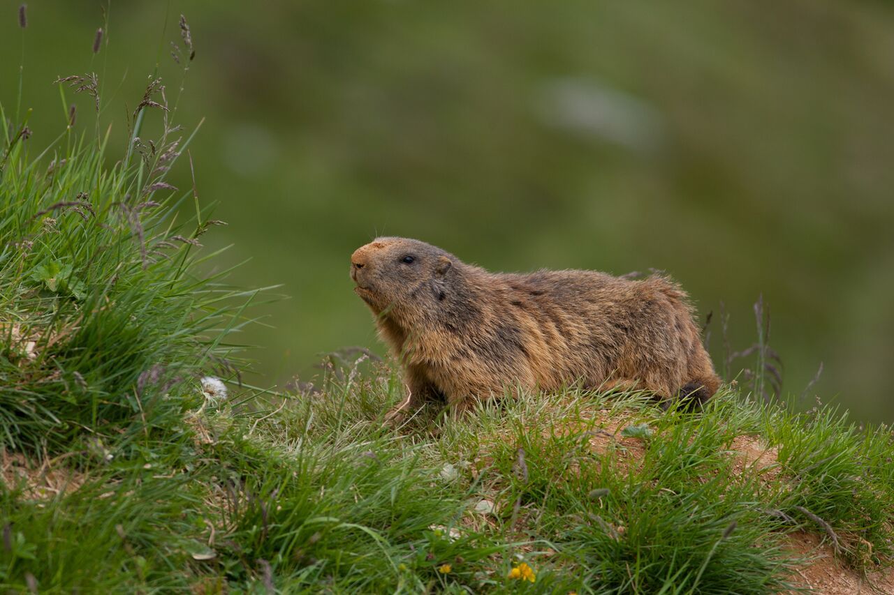
Super trail into the region typical for marmottes.
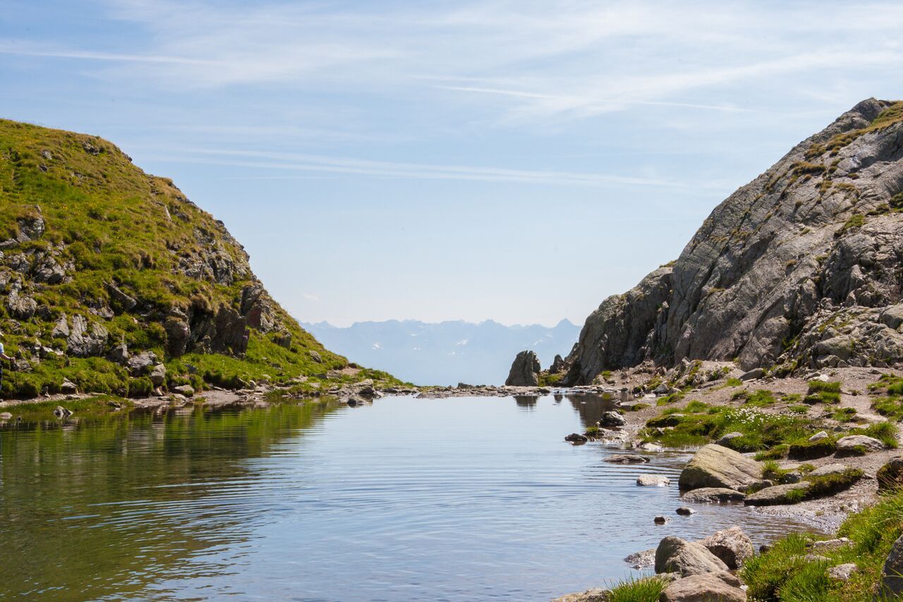
From the Komperdell mountain station (S201), a short, steep ascent begins in a northwesterly direction, followed by a gradual incline towards the west. This route follows the long-distance hiking trail 702. From Furglersee (S211), take the Murmeltiersteig 25a to Lazid (Lazidbahn mountain station).


