
Difficulty:
easy
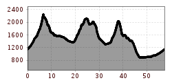
Length:
33.0 km
Duration:
8:00 h
Elevation uphill:
740 m
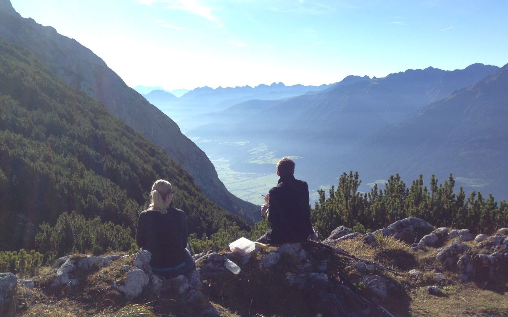
Five-day tour: Mieming Range - Gais Valley - Wetterstein mountains
Starting point: Arzkasten car park, Obsteig (fees apply - free with a guest card), 1,150 m
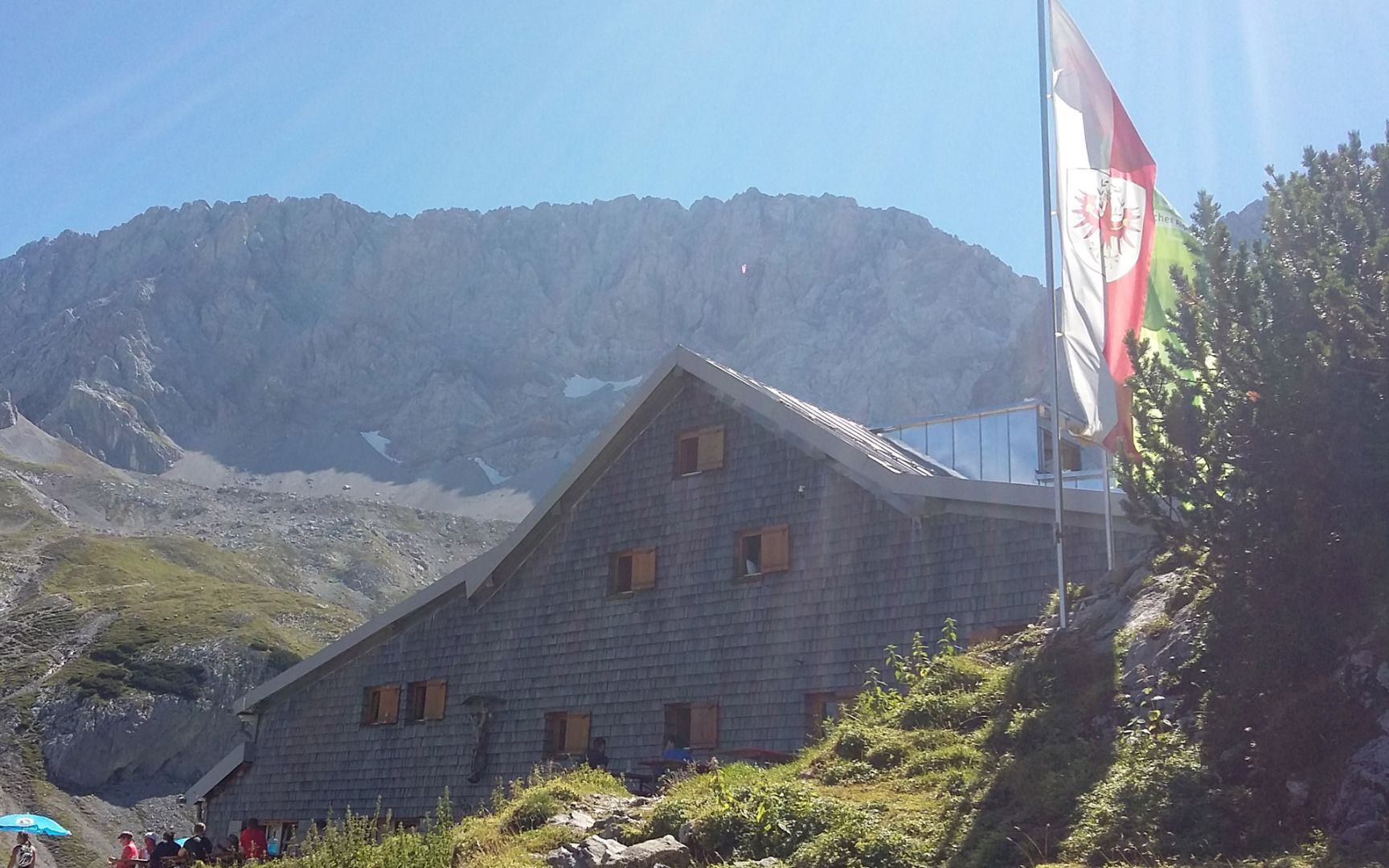
Day 1 – walking time: about 5 hours, Arzkasten - Lehnberghaus - Grünsteinscharte - Coburger Hütte (overnight stay)
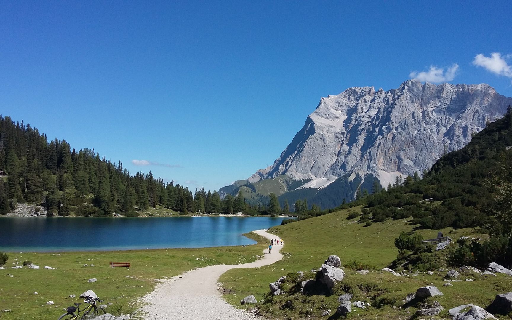
Day 2 – walking time: about 4 hours, Coburger Hütte - Seebensee - Seebenalm - Igelsee - Tillfussalm (overnight stay)
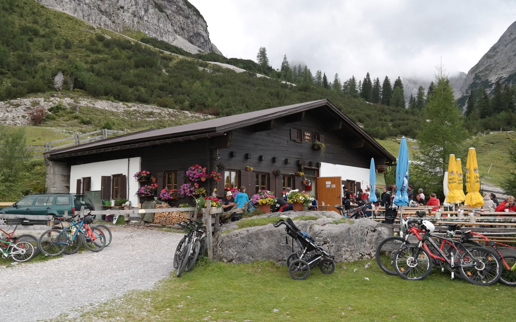
Day 3 - walking time: about 4.5 hours, Tillfussalm - Steinernes Hüttl - Rotmoosalm - Schaferhütte - Hämmermoosalm (overnight stay)
Day 4 – walking time: about 4.5 hours, Hämmermoosalm - Gaistalalm - Niedere Munde - Hintereggensteig - Neue Alplhütte (overnight stay)
Day 5 – walking time: about 4 hours, Neue Alplhütte - Straßberghaus - Ochsenbründlsteig - Wildermieming. From there, you can either follow the Sonnenplateau-Rundwanderweg trail back down to Arzkasten (1,150 m) via Mieming and Obsteig or take bus 350 or 355 (VVT-Postbus) to Holzleiten (free with a guest card).


