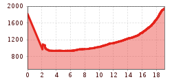
Description
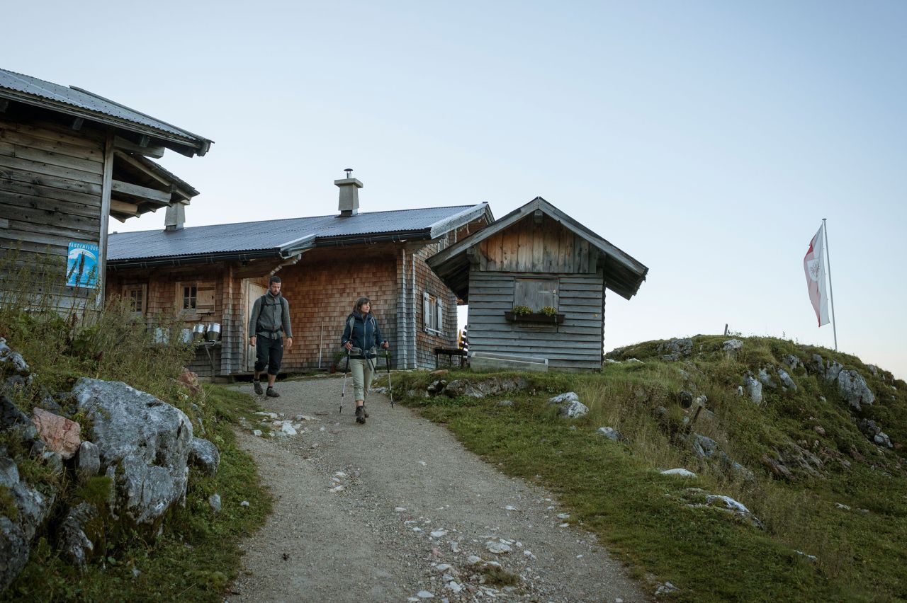
Starting point: Erfurter Hütte
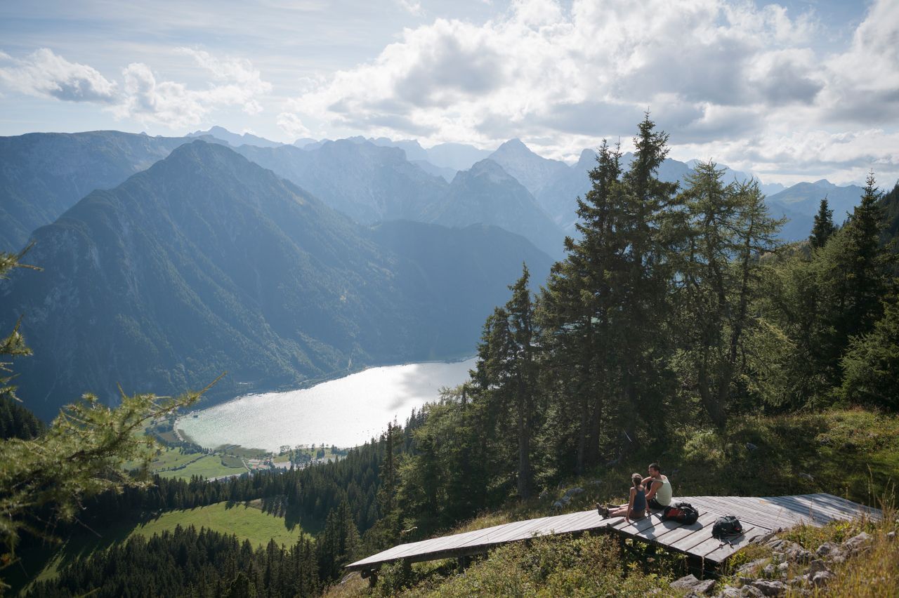
Hikers who have stayed the night at the Erfurter Hütte hut can take the Rofan gondola down to Maurach. Others can simply travel to Maurach to start the hike ther. The trail takes you along the southern or rather south-western shores of Lake Achensee to Pertisau and further on to the beginning of the toll road leading to the Karwendel Valleys (in Pertisau follow signage to “Karwendeltäler”). Having passed the tollgate, bear left and follow the trail towards “Gramaialm” into the Falzthurntal Valley. Continue through the forest on the wide, paved footpath leading gradually uphill until you reach the Falzthurnalm with its alpine pasture hut and the Alpengasthof Falzthurn inn, which is a nice place to pause for a rest.
Food & drink: Falzthurnalm
Keep on walking further into the valley along the gently climbing footpath (do not climb the slope to your left). From time to time you will have to cross the gravel stream bed until you reach Gramaialm. From here, the trail continues along a dirt road leading further into the valley towards “Lamsenjochhütte”. Stick to your left crossing the dry stream bed, along the valley floor and pass the fork leading to Gramai-Hochleger. Follow the footpath through Gramaier Grund towards the steep slope at the south end of the valley, where you can see prominent Lamsenspitze peak rising to the right. Here the trail climbs the slope to the left before crossing the talus slopes into the valley. The final section of the trail continues upward the steep slope with many switchbacks. Once you have reached the col you are just a few steps away from Lamsenjochhütte hut, which can already be seen to your left. The hut is surrounded by the spectacular rock faces of the rugged 1,953-metre Lamsenspitze peak.
Finishing point: Lamsenjochhütte


.jpg")


.jpg")


 Olympiaregion Seefeld")


