Complete Route for the Leutasch 3-Day Hut Hike for FamiliesDifficulty: medium Length: 16.2 km Duration: 10:00 h Elevation uphill: 960 m See trailMore about Complete Route for the Leutasch 3-Day Hut Hike for Families
Tiroler BurgenwegDifficulty: medium Length: 63.0 km Duration: 5 Tage Elevation uphill: 2,228 m See trailMore about Tiroler Burgenweg
01 Premium long-distance hiking trail - High route PaznaunDifficulty: medium Length: 138.6 km Duration: 60:00 h Elevation uphill: 10,316 m See trailMore about 01 Premium long-distance hiking trail - High route Paznaun
Karwendel tourDifficulty: difficult Length: 49.4 km Duration: 5 Tage Elevation uphill: 3,955 m See trailMore about Karwendel tour
Wilder-Kaiser-Steig - DetourDifficulty: difficult Length: 33.0 km Duration: 16:49 h Elevation uphill: 2,311 m See trailMore about Wilder-Kaiser-Steig - Detour
Eagle Walk TirolDifficulty: difficult Length: 426.0 km Duration: 10 Tage Elevation uphill: 30,000 m See trailMore about Eagle Walk Tirol
Karwendel 3-day-hike: Pertisau - Lamsenjochhütte - Eng Alm - Plumsjoch - PertisauDifficulty: medium Length: 37.1 km Duration: 3 Tage Elevation uphill: 1,615 m See trailMore about Karwendel 3-day-hike: Pertisau - Lamsenjochhütte - Eng Alm - Plumsjoch - Pertisau
Arlberg TrailOpening hours: closed Difficulty: difficult Length: 52.1 km Elevation uphill: 4,730 m See trailMore about Arlberg Trail
EUREGIO-Marien-Weg-M2 - Tour overviewDifficulty: easy Length: 308.2 km Duration: 89:00 h Elevation uphill: 7,209 m See trailMore about EUREGIO-Marien-Weg-M2 - Tour overview
The Tyrolean section of The Way of St. James through InnsbruckDifficulty: easy Length: 81.4 km Duration: 21:00 h Elevation uphill: 900 m See trailMore about The Tyrolean section of The Way of St. James through Innsbruck
Zams - Steinseehütte - Württemberger Haus - ZamsDifficulty: difficult Length: 22.0 km Duration: 3 Tage Elevation uphill: 1,490 m See trailMore about Zams - Steinseehütte - Württemberger Haus - Zams
Karwendel High TrailDifficulty: difficult Length: 70.0 km Duration: 6 Tage Elevation uphill: 4,470 m See trailMore about Karwendel High Trail
Hike to StraßbergseeDifficulty: medium Length: 13.7 km Duration: 6:30 h Elevation uphill: 1,200 m See trailMore about Hike to Straßbergsee
The Sellrain Valley Mountain Hut TourDifficulty: difficult Length: 84.3 km Duration: 40:00 h Elevation uphill: 5,085 m See trailMore about The Sellrain Valley Mountain Hut Tour
Long-distance hike: Peter Habeler RundeDifficulty: difficult Length: 56.7 km Duration: 4 Tage Elevation uphill: 3,705 m See trailMore about Long-distance hike: Peter Habeler Runde
Kaiserkrone - around the Wilder Kaiser in 5 daysDifficulty: medium Length: 57.7 km Duration: 4 Tage Elevation uphill: 4,000 m See trailMore about Kaiserkrone - around the Wilder Kaiser in 5 days
3-day Family Tour AlpbachtalDifficulty: medium Length: 18.3 km Duration: 7:00 h Elevation uphill: 998 m See trailMore about 3-day Family Tour Alpbachtal
RauhekopfhütteDifficulty: difficult Length: 4.5 km Duration: 3:00 h Elevation uphill: 493 m See trailMore about Rauhekopfhütte
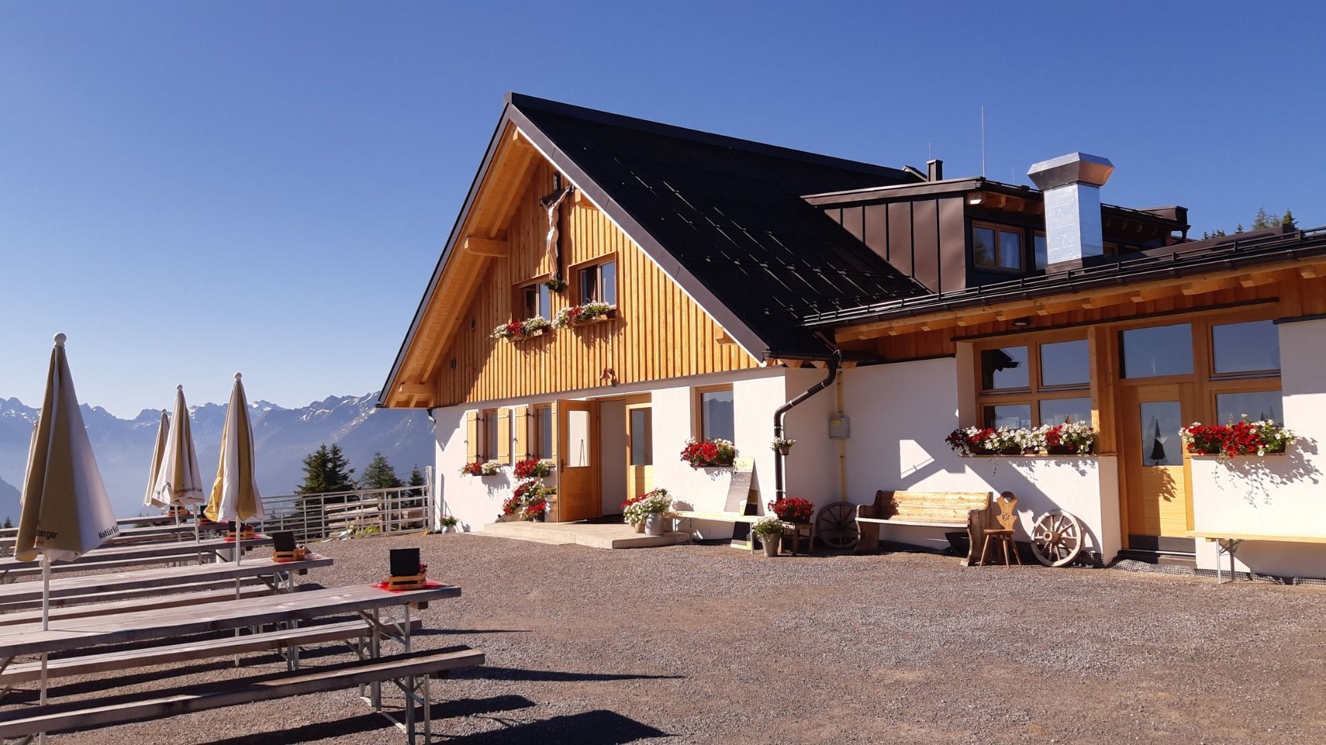
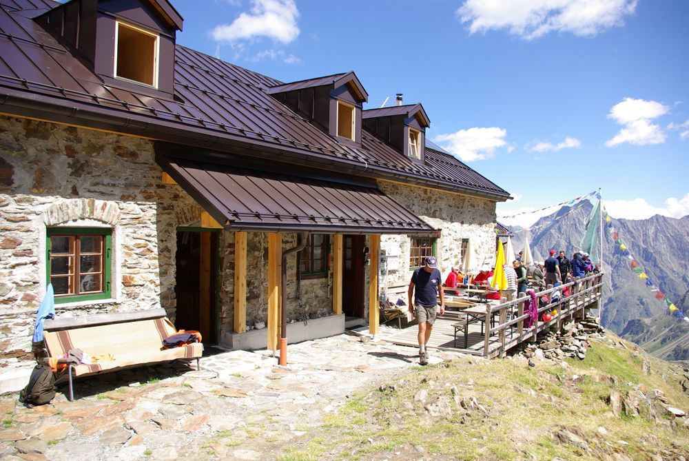
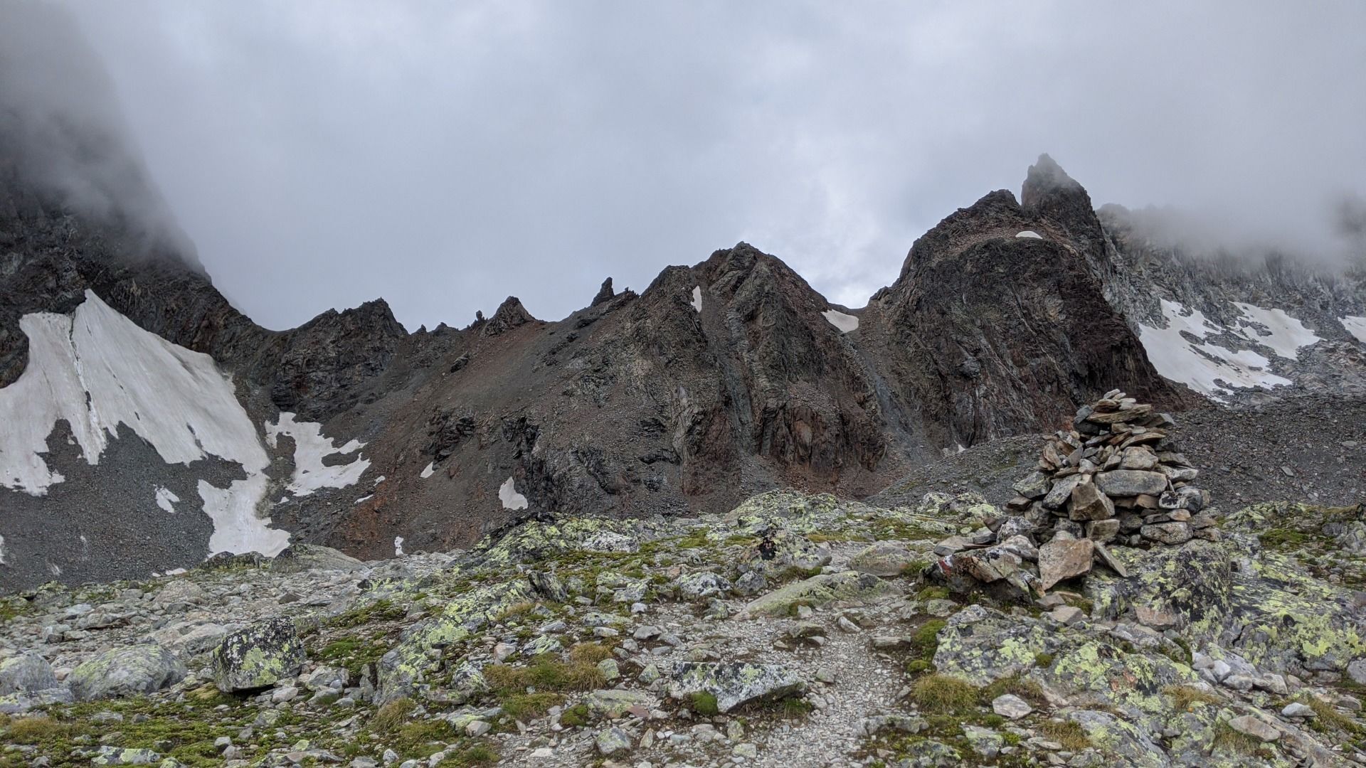
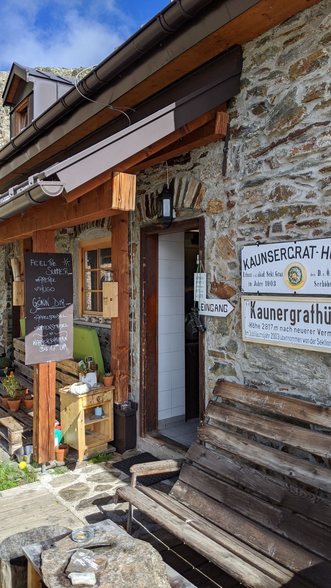
Kaunergrat Runde - 7 TagestourDifficulty: difficult Length: 65.0 km Duration: 37:00 h Elevation uphill: 3,867 m See trailMore about Kaunergrat Runde - 7 Tagestour
Over the Tannheim mountains | 4 day tourDifficulty: medium Length: 35.0 km Duration: 15:00 h Elevation uphill: 2,200 m See trailMore about Over the Tannheim mountains | 4 day tour
From Mountaineering Village to Mountaineering VillageDifficulty: difficult Length: 26.1 km Duration: 2 Tage Elevation uphill: 2,440 m See trailMore about From Mountaineering Village to Mountaineering Village
Senn's WunderWanderWegOpening hours: closed Difficulty: easy Length: 1.0 km Duration: 0:30 h Elevation uphill: 81 m Go to attractionMore about Senn's WunderWanderWeg
Long-distance hike: Berliner Höhenweg (Zillertal Runde)Difficulty: difficult Length: 71.0 km Duration: 2 Tage Elevation uphill: 5,300 m See trailMore about Long-distance hike: Berliner Höhenweg (Zillertal Runde)
Kaunergrat Circular Route - 5 DaysDifficulty: difficult Length: 42.5 km Duration: 23:00 h Elevation uphill: 3,804 m See trailMore about Kaunergrat Circular Route - 5 Days
Kaunergrat Circular Route - 7 DaysDifficulty: difficult Length: 66.4 km Elevation uphill: 5,496 m See trailMore about Kaunergrat Circular Route - 7 Days
Give feedback for a chance to win a special holiday experience!Click here for the surveyClick here for the survey


.jpg")


.jpg")


")


