Arrival by public transport
Bus stop: Itter Dorfplatz
Guest card = travel ticket - bus & train included!
Online timetables:
www.vvt.at
www.oebb.at
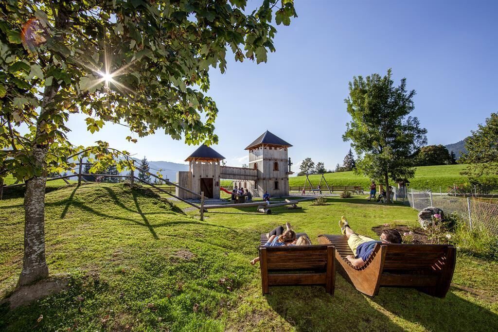
Dorfrunde Itter
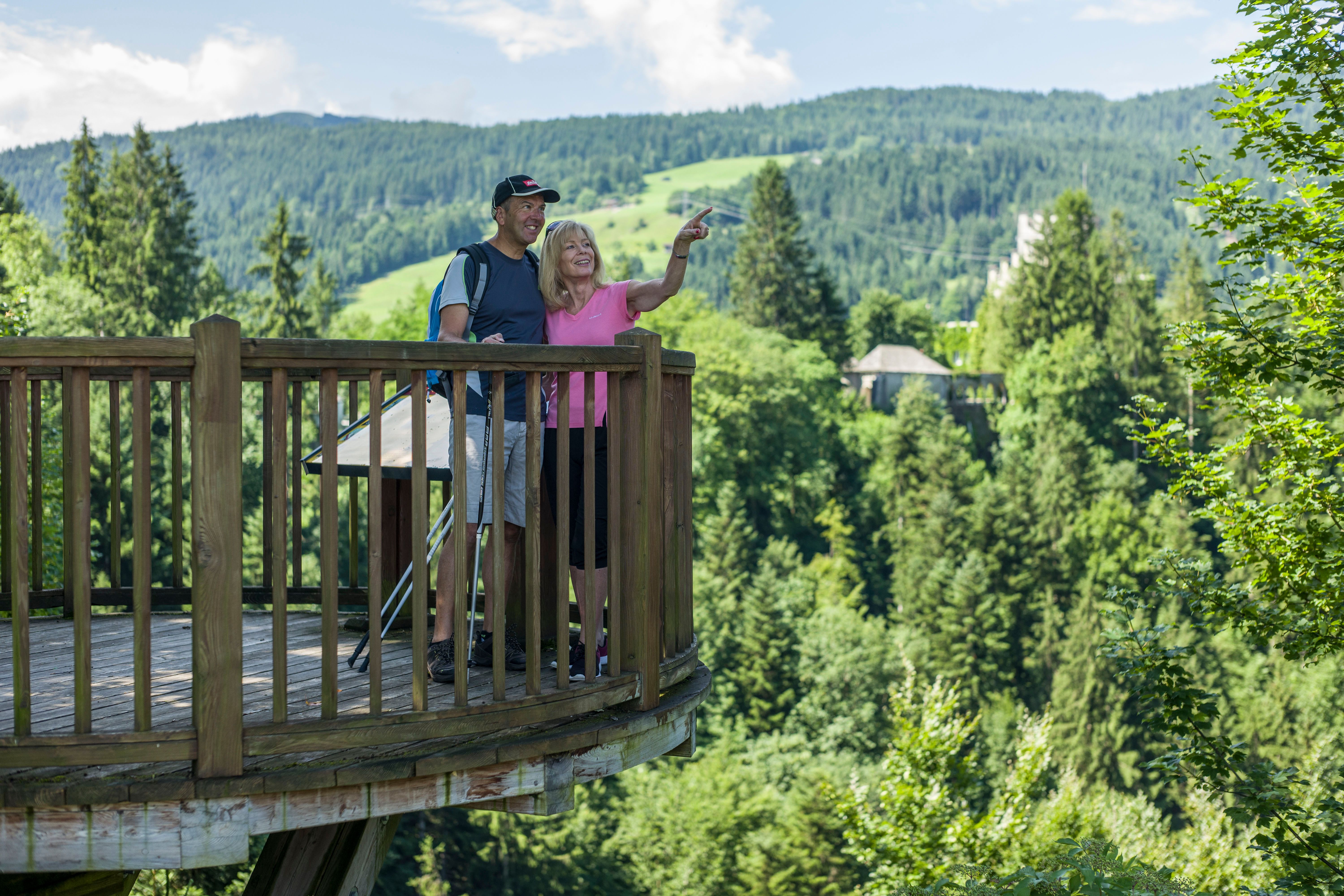
The starting point for this hike is the information office in Itter. Follow the signs in the direction of Rosenweg (no. 4).Pass the viewing platform and continue to the fork in the road, where you turn left. At the Rosenweg stamp, keep to the right in the direction of Itterer Dörfl.
When you cross the road, turn into Schwendter Weg and follow the signs (No. 2). At the Lindweg fork, keep left and continue straight on towards the sports field. Back to the starting point, follow the signposts to Itter.
Bus stop: Itter Dorfplatz
Guest card = travel ticket - bus & train included!
Online timetables:
www.vvt.at
www.oebb.at
Free parking place directly at the Itter village square

