Arrival by public transport
Take public transport to Seefeld Railway Station and walk 10 minutes to the starting point, the valley station of the Rosshütte mountain lifts.
All real-time connections can be found in the route planner.
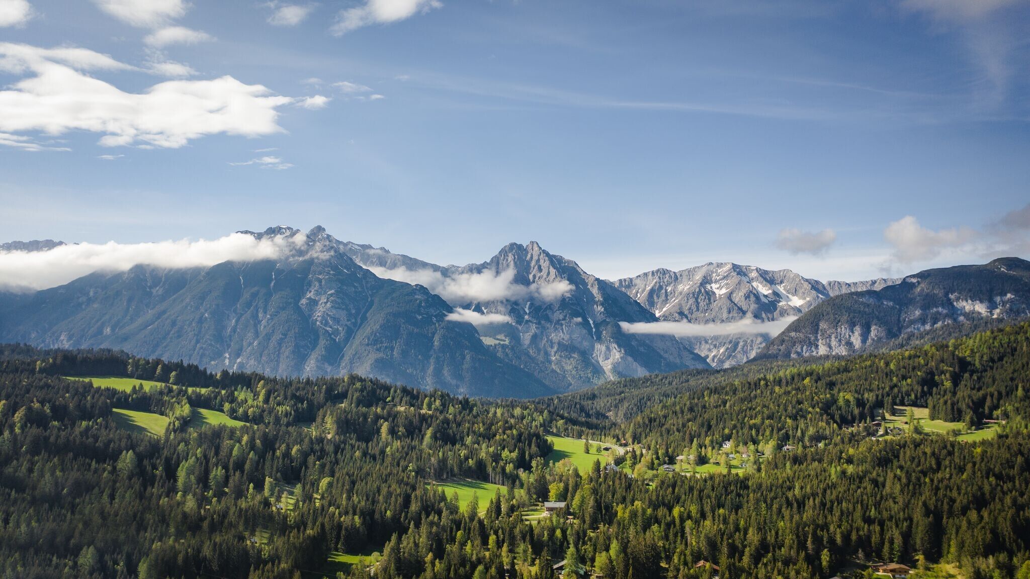
Moderate circular hike from Seefeld to Gießenbach and Leutasch, through idyllic forests and open meadows.
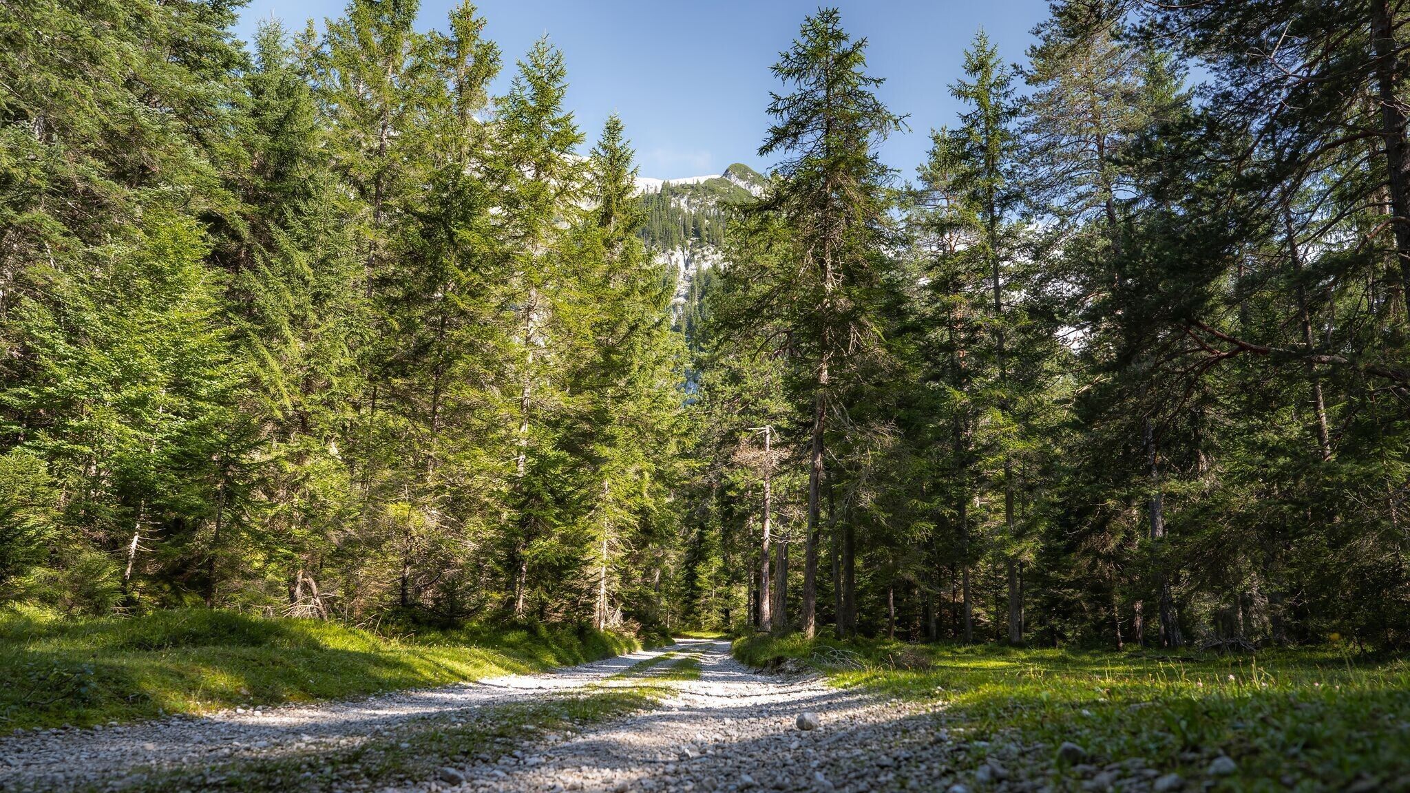
Forest road, forest path, meadow path, root path and gravel path.
All current information about the trail closures in the Region Seefeld can be found here.
Have you been out and about in the Region and discovered a spot that we should rework or repair? Fill out the form "Report a danger zone" and let us know where work is needed.
Sturdy hiking shoes, functional clothing, a backpack, water, snacks, alpine experience, and sure-footedness are necessary for this tour!
Also recommended: a hiking map or GPS, a first aid kit, sun protection, hiking poles, and an emergency blanket.
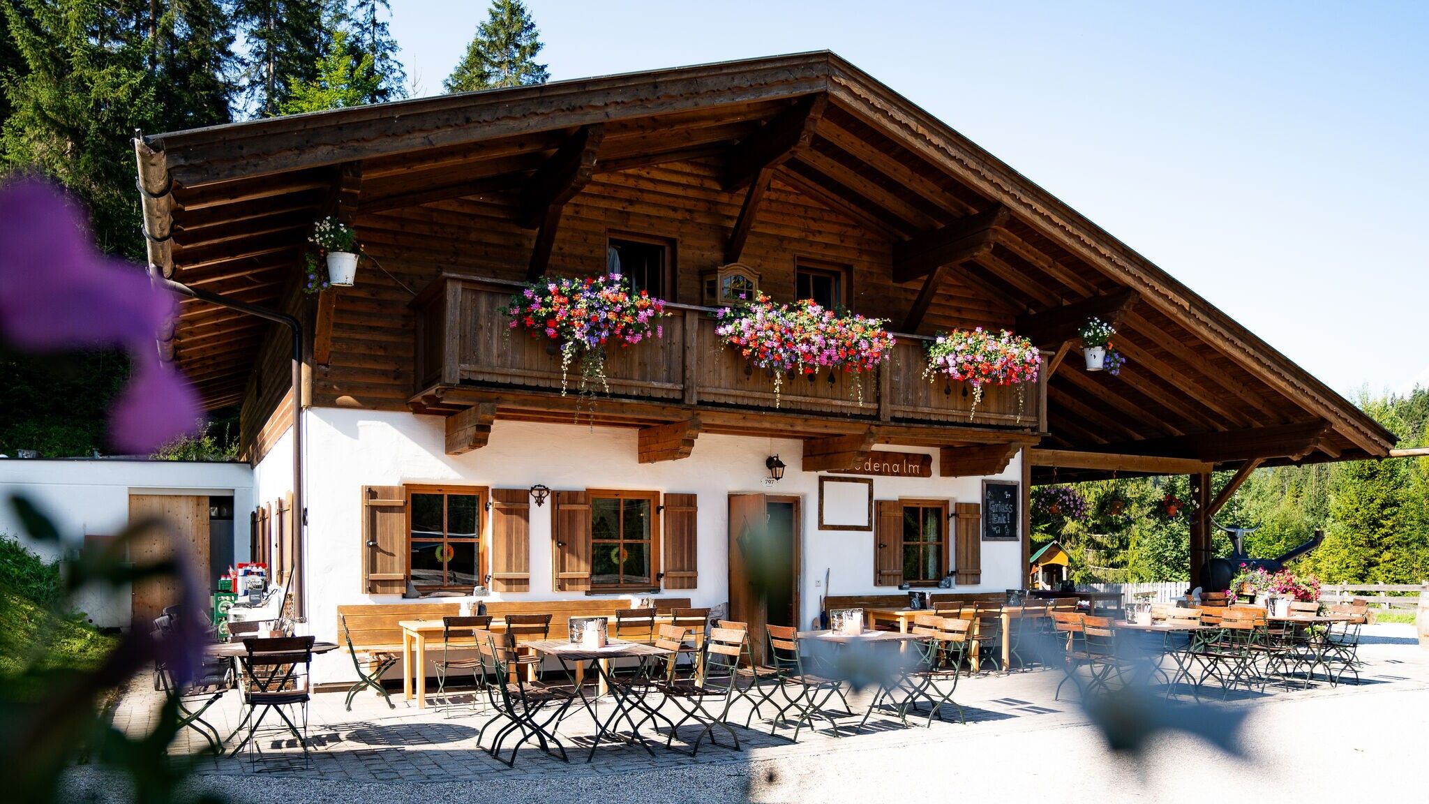
Attention: The Hirnweg is closed from the Bodenalm junction to Gießenbach due to construction work. Access from Playcastle to the Bodenalm is still possible.
The tour starts at the valley station of the Rosshütte. From here, follow the Römerweg, then continue on the Hirnweg over the Ankerschlag to Gießenbach. Cross the road and the small stream to reach the Sattelsteig. This trail leads through beautiful forest sections and small clearings before finally reaching Leutasch. From there, follow the well-marked paths back to Seefeld’s pedestrian zone.
Alternative route:
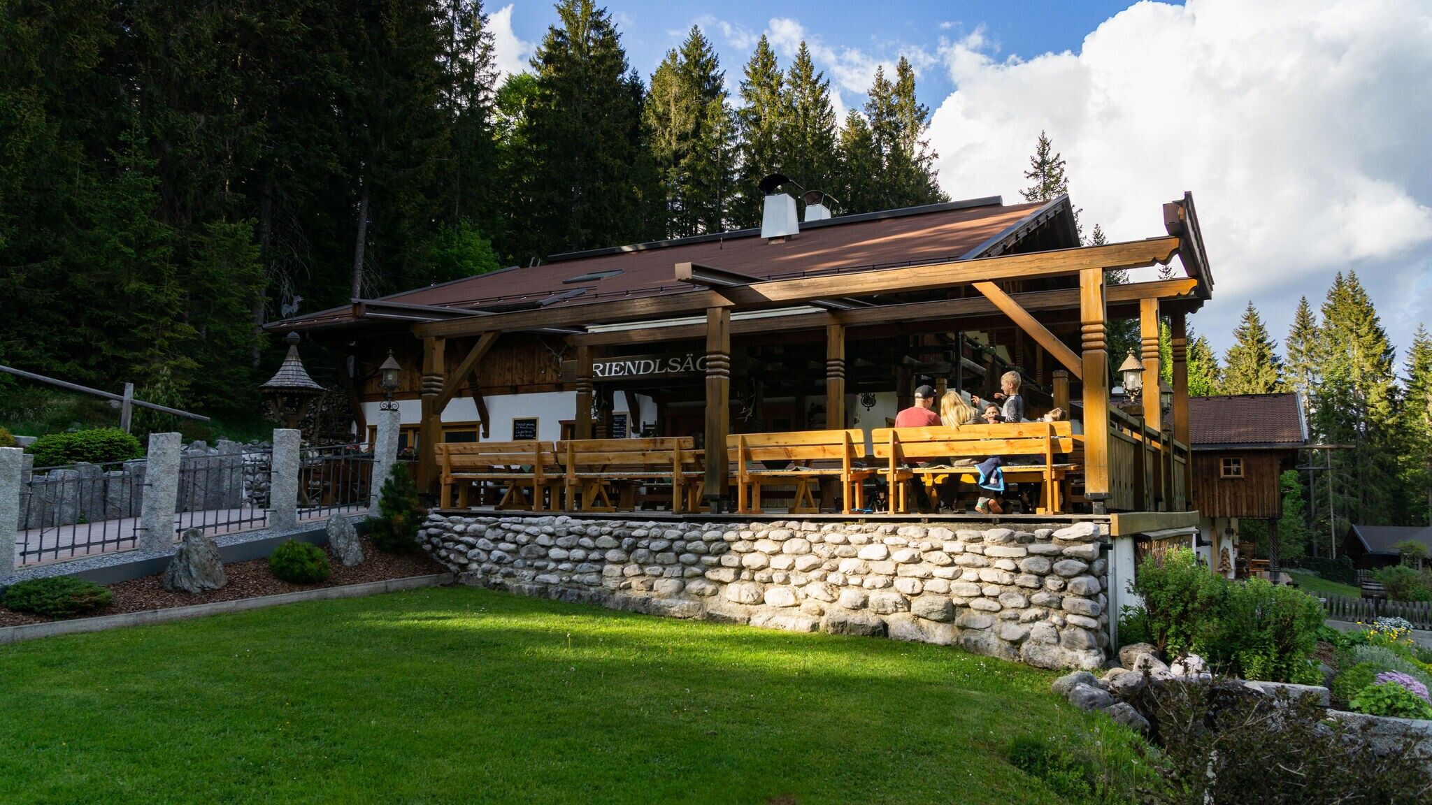
Another option is the route via the Bodenalm, where you can choose between the route from the Triendlsäge through the Drahnbach valley or the route via the spa hotel promenade and Heilbadstraße, past the waterfall. Behind the Bodenalm keep left and about 700 m before the Stundkapelle turn left onto the forest road. Now follow this path for a short stretch on the road through the Boden past the Gießenbach to the Sattelsteig. Remaining on the forest road, you go to the junction of the northern alpine path and follow this to the left uphill through the Sattelklamm gorge to the Hoher Sattel. In the field about 200 m after the hunting lodge, turn left to Hochfluder and follow the Schwarzweg slightly descending towards Weidach. Pass the turn-offs to Kurblhang and to Weidach, straight ahead on the path to the Hochmoos lift. From there, the uniformly signposted trail leads via Neuleutasch, Triendlsäge back to Seefeld.
Take public transport to Seefeld Railway Station and walk 10 minutes to the starting point, the valley station of the Rosshütte mountain lifts.
All real-time connections can be found in the route planner.

.jpg")
.jpg")
.jpg")


 Olympiaregion Seefeld")


