Mountain hikes Böses Weibele

Difficulty ratings: easy
Route length: 10 km
Duration: 4:00 h

Böses Weibele

Tour information

  • Requirement: easy
  • Length: 10 km
  • Duration: 4:00 h
  • Elevation uphill:545 hm
  • Elevation downhill:538 hm
Highest point 2,513 m

Starting point

Lienz,parking spot Hochsteinbahn

Finishing point

Böses Weibele
  • Fitness level 1 / 6
  • Technique 1 / 6

Best time of year

  • January
  • February
  • March
  • April
  • May
  • June
  • July
  • August
  • September
  • October
  • November
  • December

Description

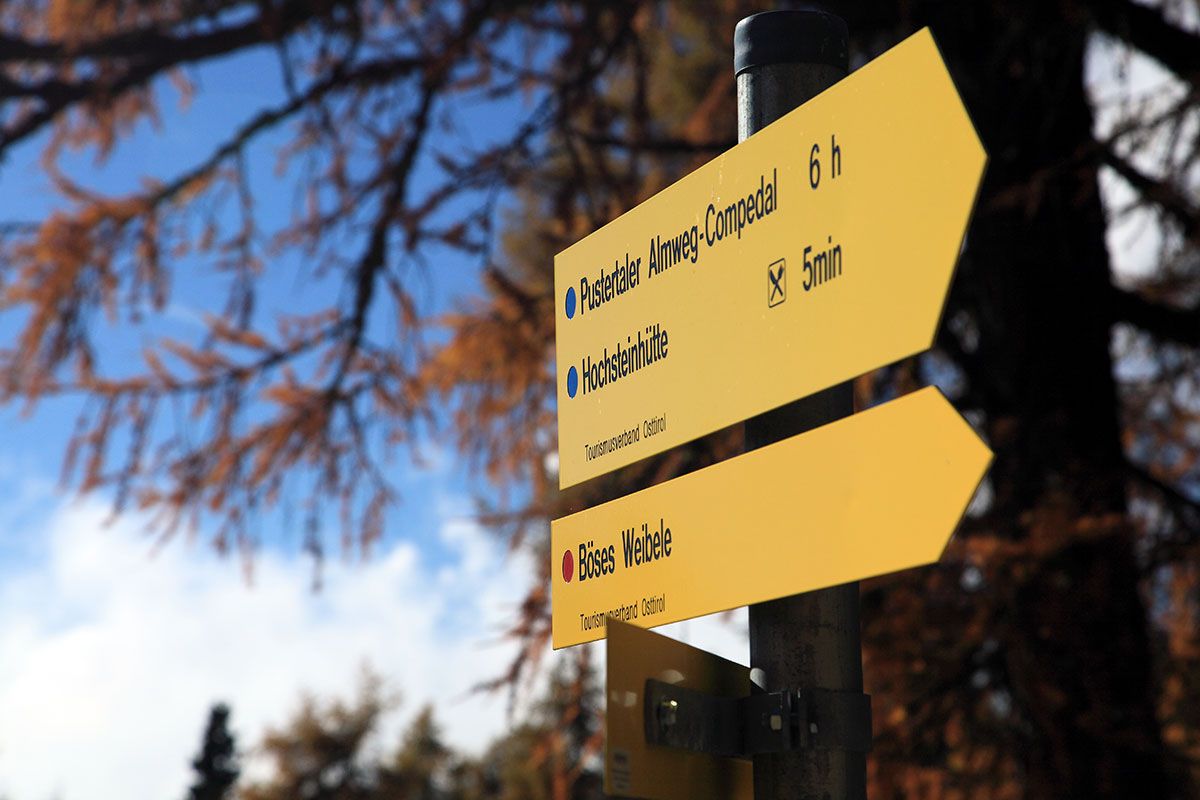
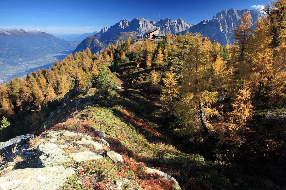
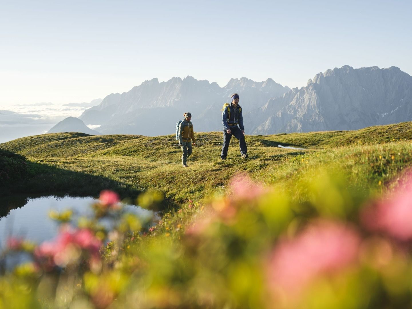
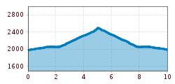
From Lienz by car via Bannberg to the Hochsteinhütte car park (toll payable on this road). From there walk via a wide Alpine path for around 10 minutes up to the Hochsteinhütte, and continue via the Hochstein along flat Alpine pasture. The summit of the Böse Weibele, 2521m, is always in your line of sight. Follow path No. 9, along Hochsteinkamm up to the summit.

Getting here

  • Arrival by public transport

    Freitags mit dem Wanderbus Lienz bis zur Hochsteinhütte.

  • Parking

    Parkplatz Hochsteinhütte

  • Contact

    Böses Weibele

    ****

Oops, an error occurred! Code: 202502220224475a7dfcb7

More tours in the surrounding area

Newsletter

The mountain is calling? So does our newsletter!

In our weekly newsletter we reveal the best holiday tips for Tyrol.