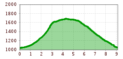
Description
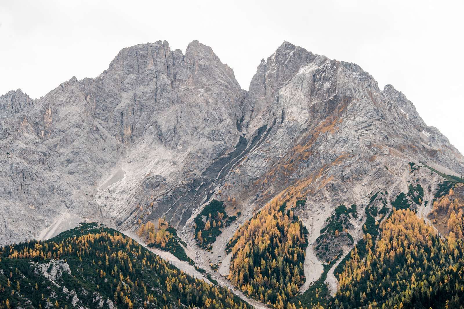
From the parking lot Hotel MyTirol walk just below the chairlift and then turn left into the forest. From here you will come to a slightly ascending forest path. Then you reach the "Montan-Wanderweg". After the sign "Pulverkeller" turn right). Red markings lead you past a feeding place for game. At the sign "Bremsweg" you turn left and walk uphill. The next highlight is a beautiful viewpoint, the "Creszentia-Stollen". From here, the path is a little steeper in the woods and climbs over small rock steps. Then you meet a branch, turn right and follow the Montan hiking trail until a rocky spitz rises from the tree tops on the right - here you can make a detour to the "Kl. Schachtkopf". Further to the left, over gravel fields uphill past the "Ulrich-Stollen". On a flat path one crosses a fork with the sign "Wasserpriel". At this fork turn right and then right again at the stamp. Over a steep, stony path you approach the summit. The highest point with the big cross can be reached with a few steps over some rock steps.
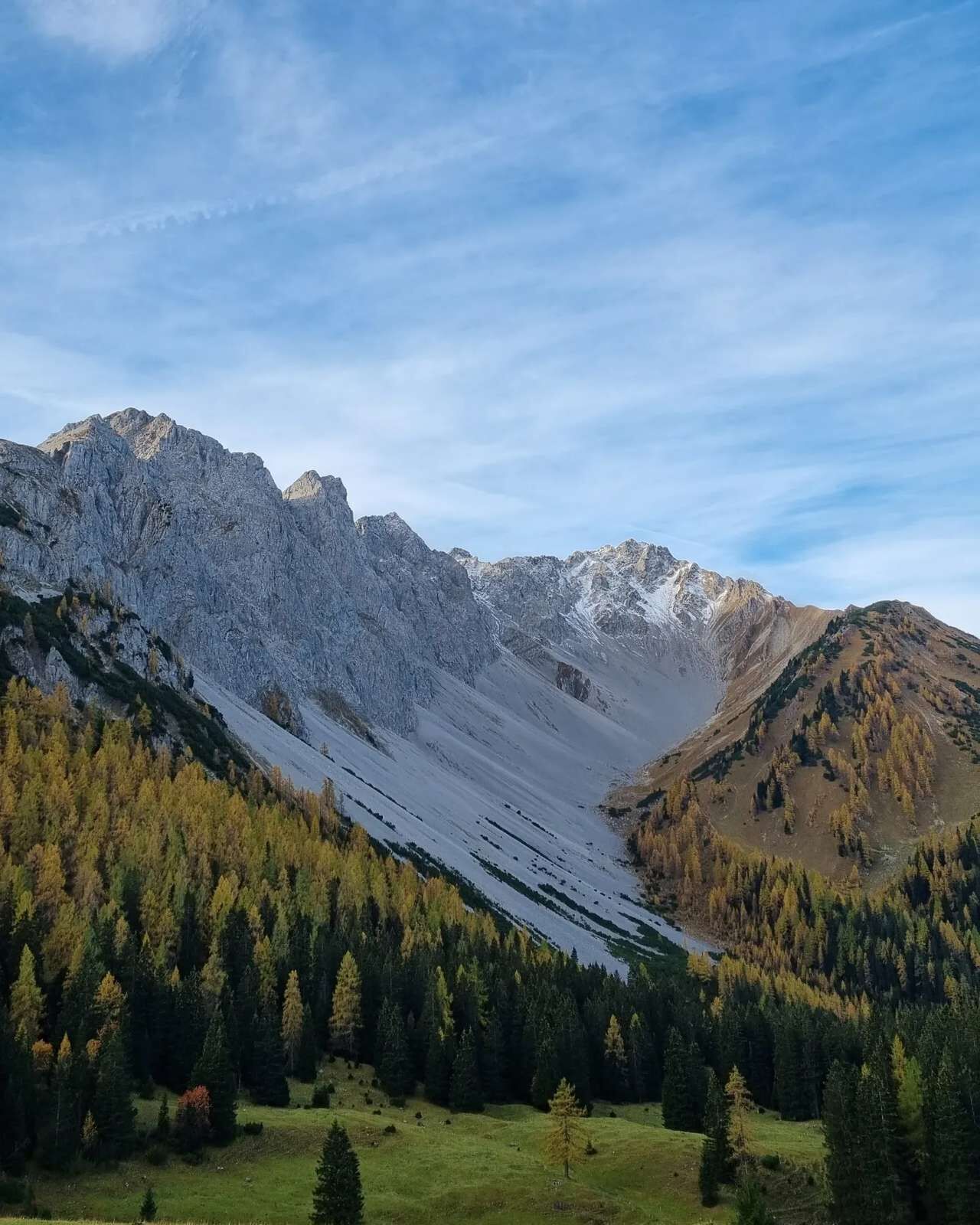
Descent: Back towards the stamp-post office the path goes up and down to the right through mountain pines. From the "Barbara-Stollen" you descend steeply on a narrow path partly over gravel and sand (be careful when wet). After a wire rope it becomes more comfortable again and you march on a comfortable path along the slope. In the larch forest you pass a fountain and soon after you are below the top station. If you continue straight ahead you will reach a forest road. On this, one walks downhill passing the mountain restaurant Sunnalm to the top station of the Marienbergbahn and down to the starting point.
IMPORTANT NOTES:
- Stay on the marked hiking trails
- Keep your distance from grazing animals
- Be aware of the mountain hut opening hours
- Alpine emergency call: 140