Arrival by public transport
bus stop Gondelbahn Brixen im Thale
railway station Brixen im Thale
High above the Brixental Valley!
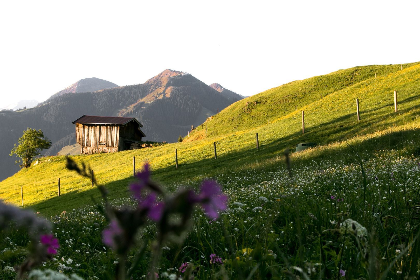
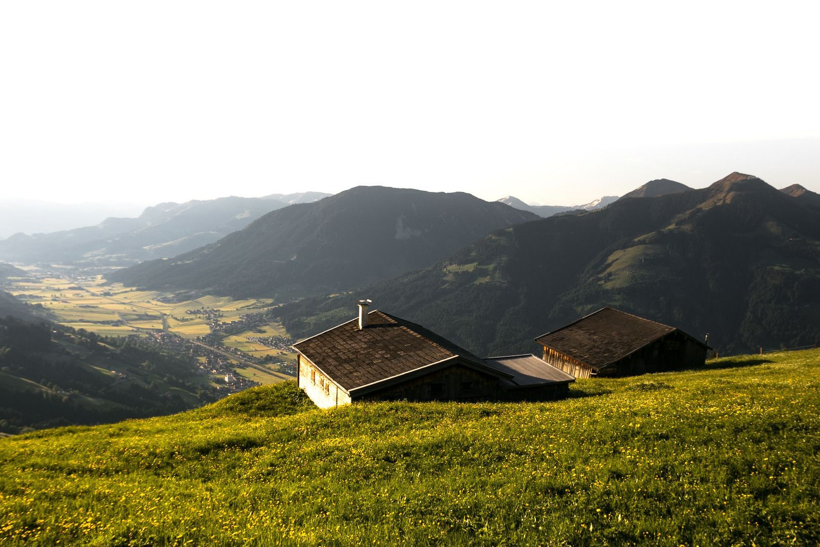
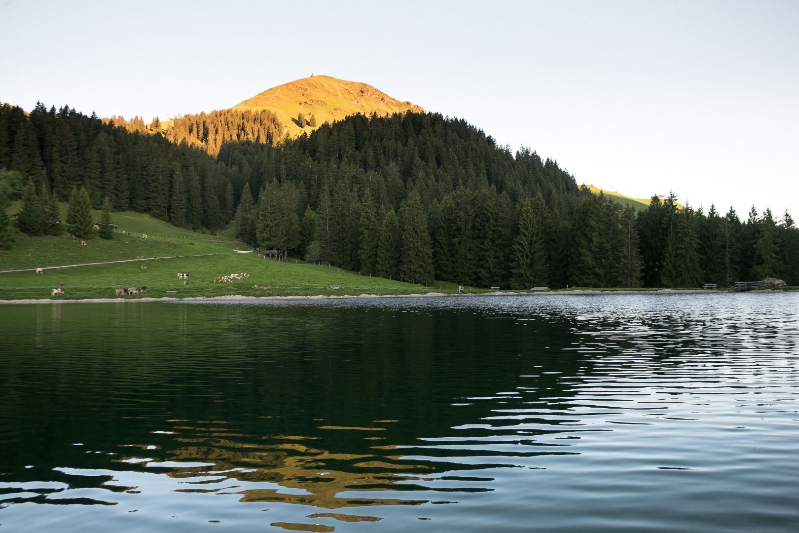
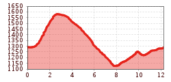
We start the hike at the idyllic Filzalmsee lake on Hoch Brixen and follow hiking trail no. 95 towards Hohe Salve. Above the Salvensee lake, we turn left to Gasthaus Rigi. Below the inn, we keep right and stay on trail no. 70 in the direction of Kraftalm. We continue on the trail to Stöcklalm or Hexenwasser and continue on trail no. 99 to Silleralm to the starting point.
Alternative 1 small Salven circuit: from Gasthaus Rigi right to Kraftalm at the fork in the road we leave the road and continue on trail no. 71 Keatalm to Frankalm and Filzalm.
Alternative 2 high-altitude circuit: turn right at the Kälbersalvenbahn cable car and follow the high-altitude circuit no. 71 to the Keatalm inn, Frankalm or Silleralm back to the starting point.
bus stop Gondelbahn Brixen im Thale
railway station Brixen im Thale
Gondelbahn Brixen im Thale


_FULL12.jpg")


