Arrival by public transport
busline 4104
bus-stops: Finkenberger Almbahnen & Tux-Vorderlanersbach Rastkogelbahn
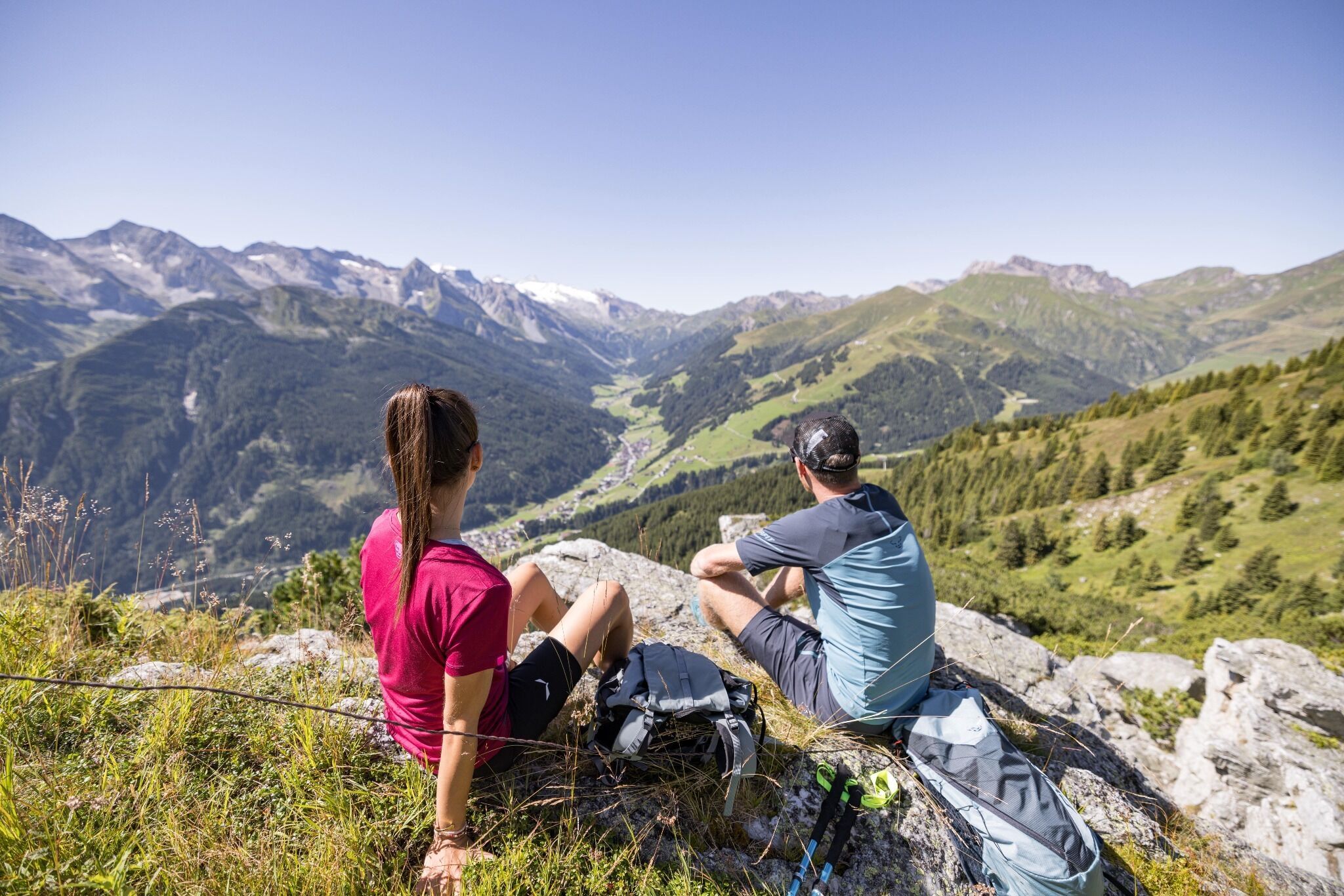
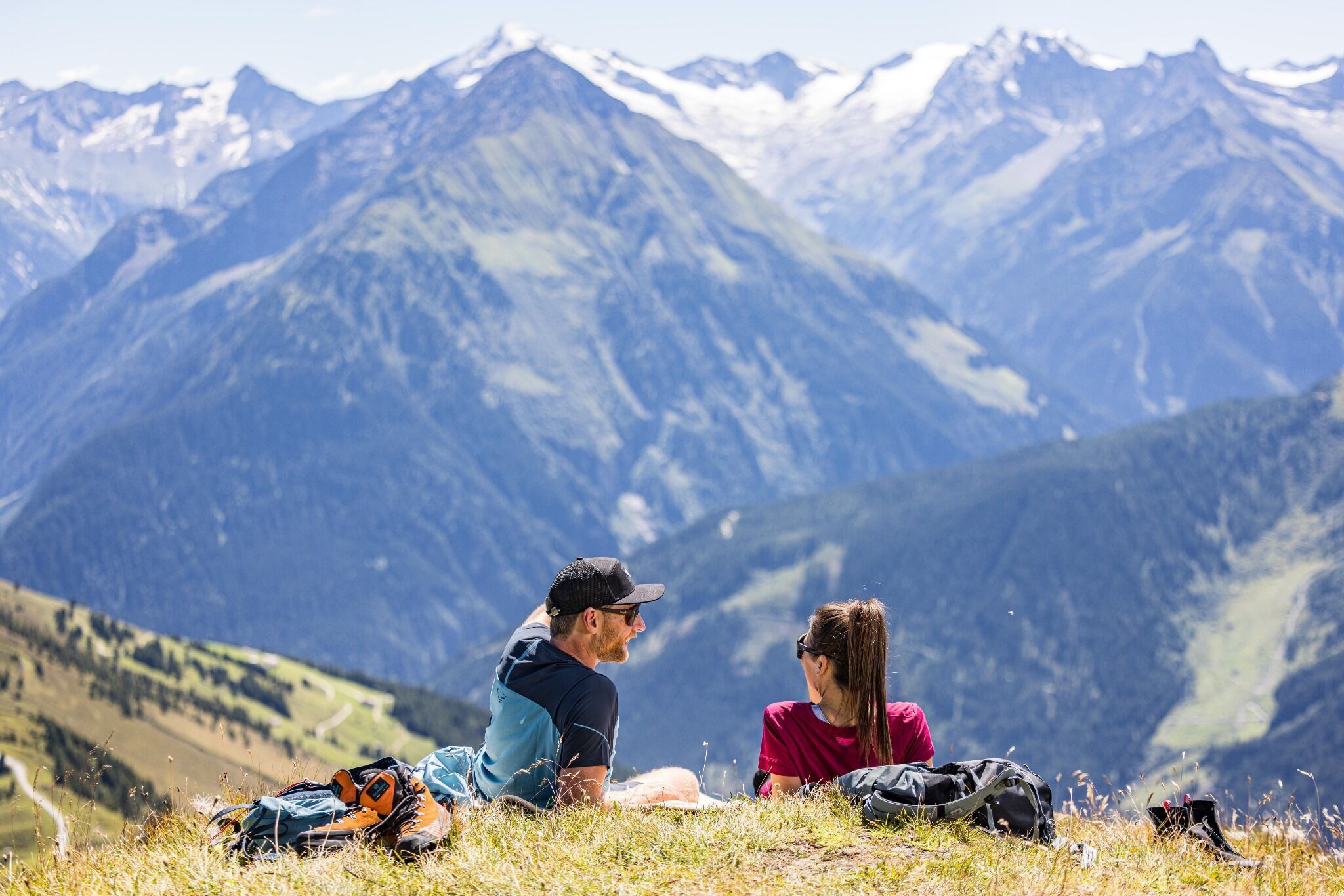
From Penken to the Lämmerbichlalm, a wonderful panoramic high-altitude trail with views of the Zillertal Alps and the Tuxer Hauptkamm.

mountain path, gravel path, tarmac
Gondola ascent with the Finkenberger Almbahnen (sections I and II, change once) to Penkenjoch (2,095 m). After the mountain station, keep left and hike on trail no. 57 to the Wanglalm. At the Wanglalm take the short ascent to the Wanglspitze and then turn left onto trail no. 55. First take a leisurely walk along the "Wanglseite", past the reservoir, until trail no. 51 continues to the Lämmerbichl mountain restaurant. From the mountain restaurant, follow the wide alpine path over the "Anger" to the mountain road that leads to the Geislerhof. Walk out of the valley on the road via the hamlet of Schöneben to Tux-Vorderlanersbach.
busline 4104
bus-stops: Finkenberger Almbahnen & Tux-Vorderlanersbach Rastkogelbahn


 Kasseler Hütte - Edelhütte")
 Berliner Hütte - Greizer Hütte")
 Greizer Hütte - Kasseler Hütte")

