Mountain hikes 4 peak tour at the Glungezer panoramic trail

Patsch / Tuxer Alpen
Difficulty ratings: difficult
Route length: 14.6 km
Duration: 5:00 h

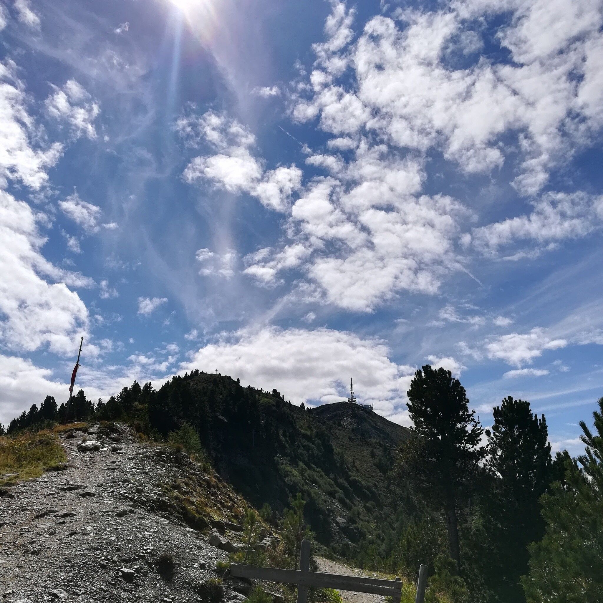
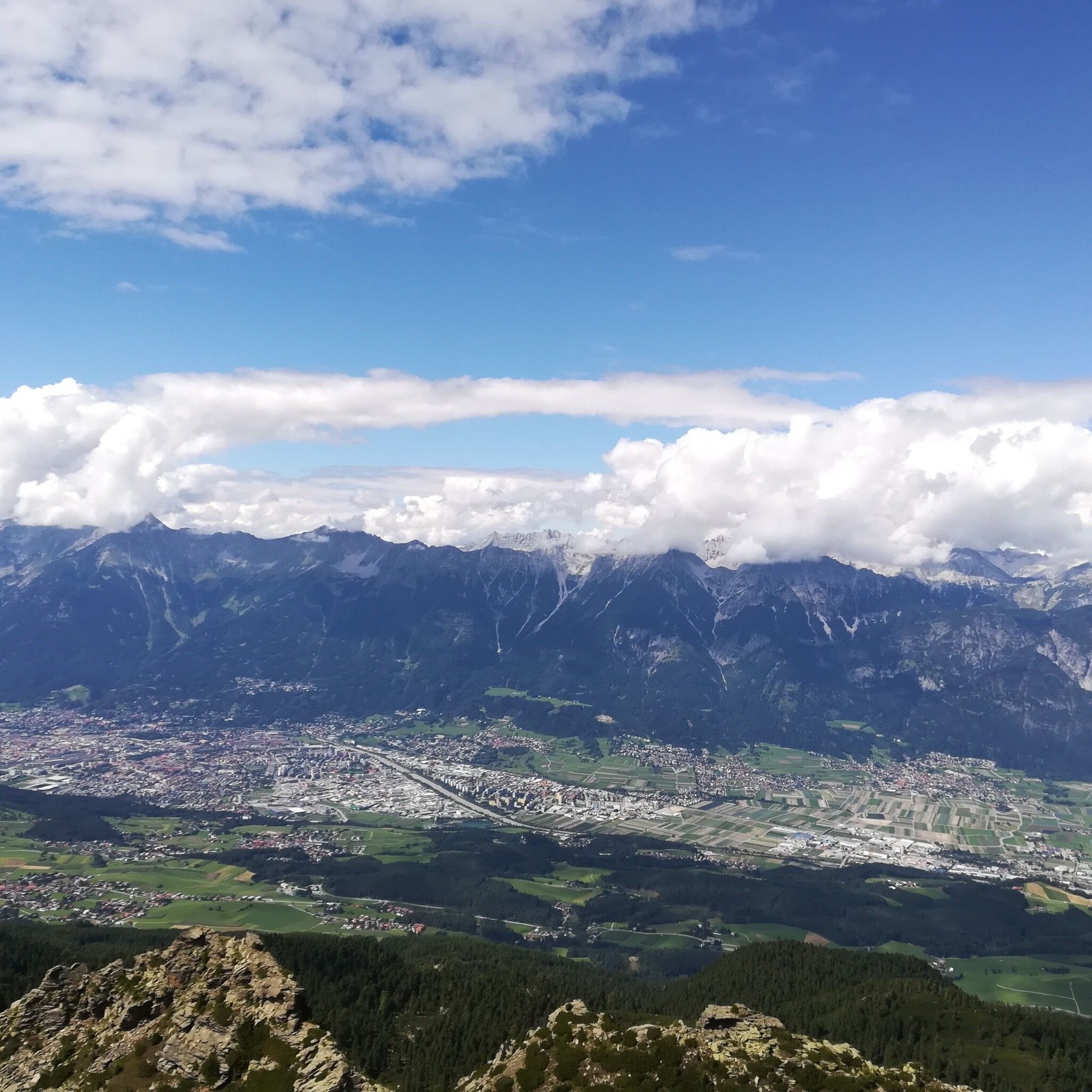
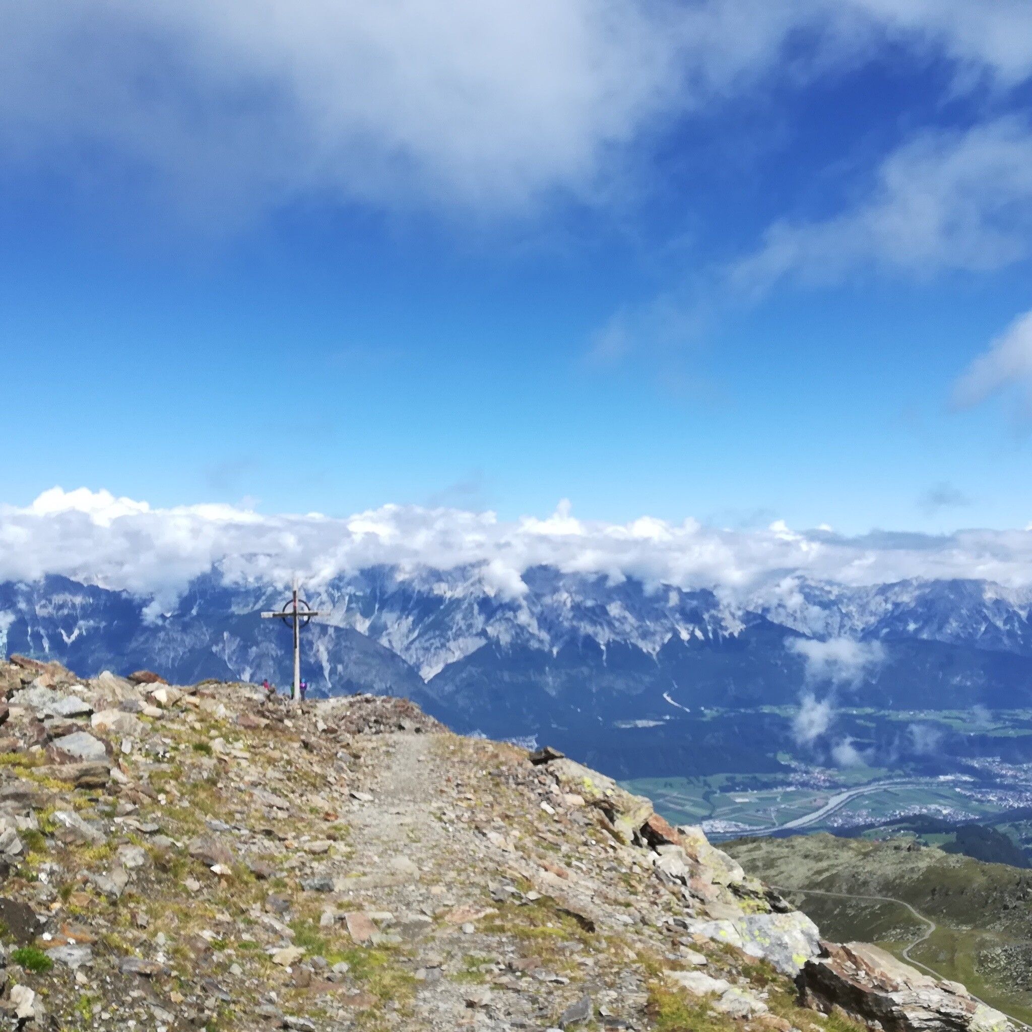
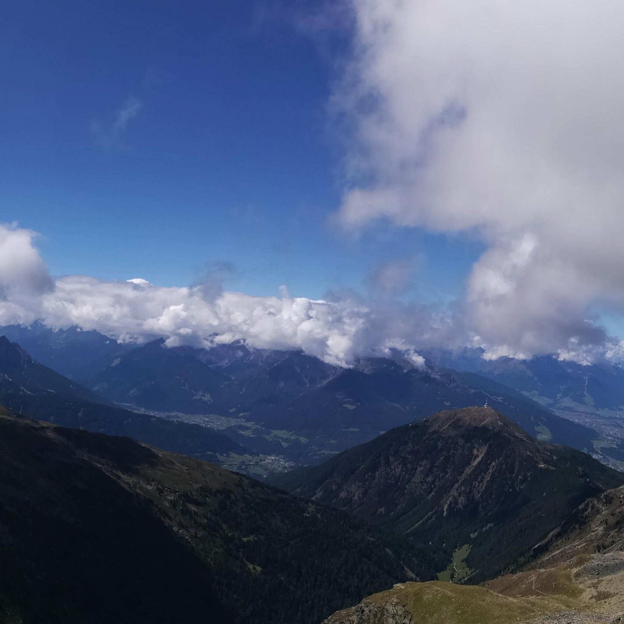
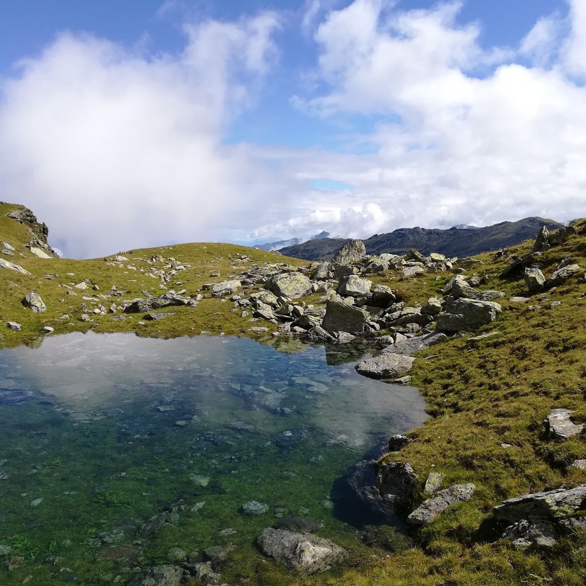
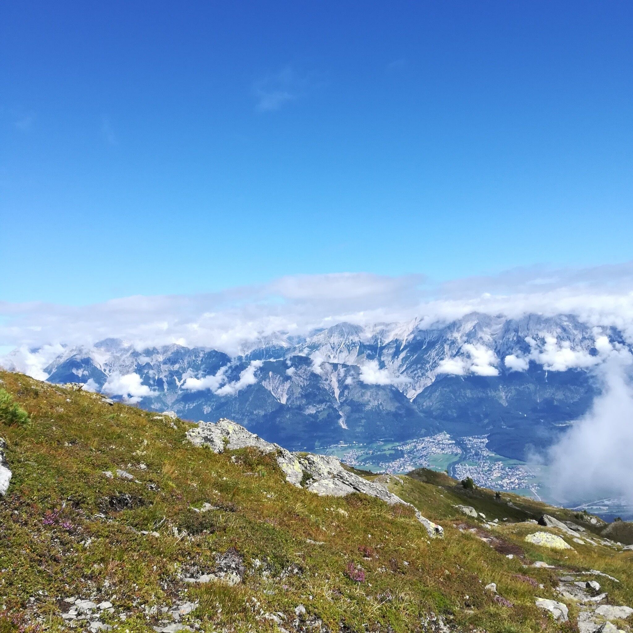
At the distance from the Zirbenweg we take this beautiful and quite trail with views down to the Viggartal

Tour information

  • Requirement: difficult
  • Length: 14.6 km
  • Duration: 5:00 h
  • Elevation uphill:1,077 hm
  • Elevation downhill:1,008 hm
Highest point2,668 m

Starting point

Patscherkofel

Finishing point

Glungezer
  • Fitness level 5 / 6

Best time of year

  • January
  • February
  • March
  • April
  • May
  • June
  • July
  • August
  • September
  • October
  • November
  • December

Equipment

Bitte unbedingt vorher die letzte Talfahrt der Bahn einplanen!


Description

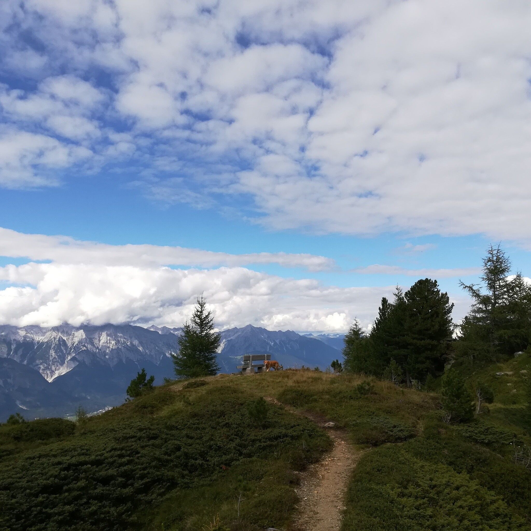
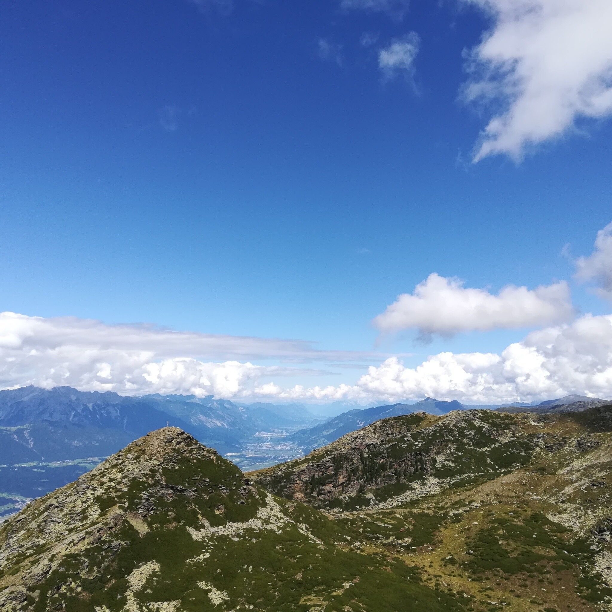
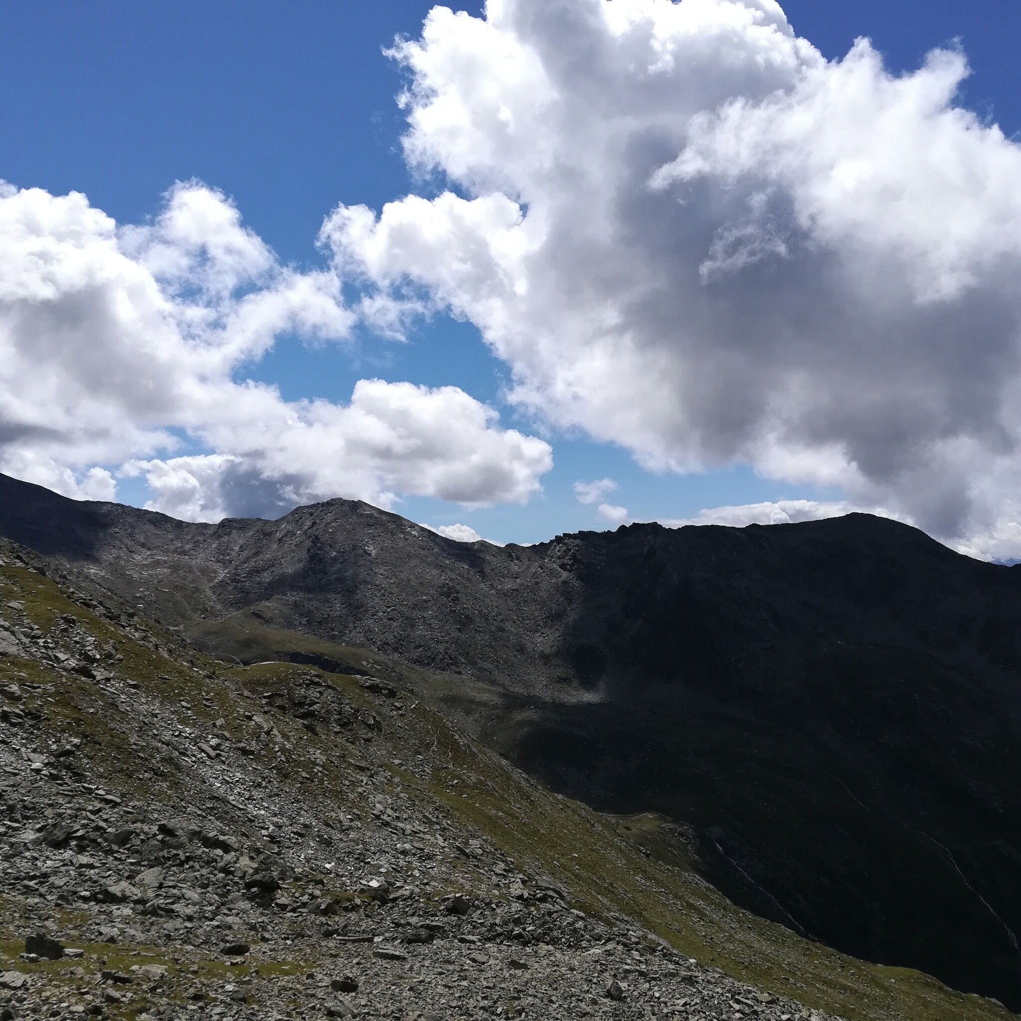
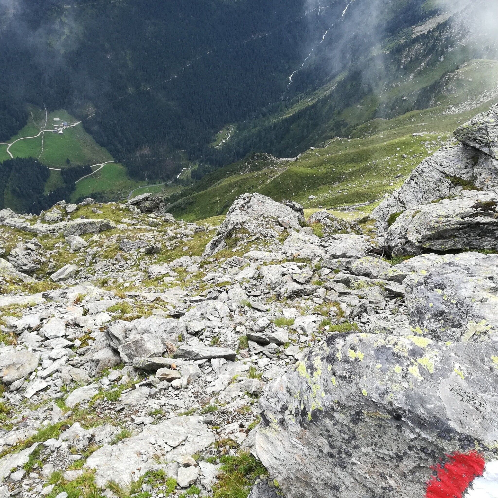
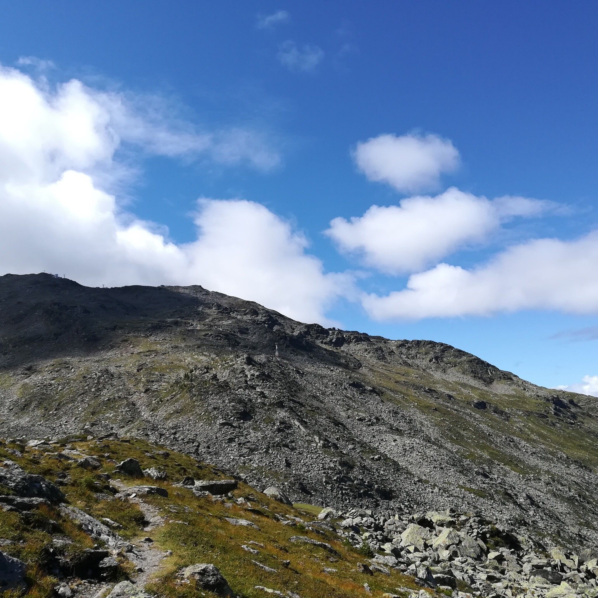
Following the Zirbenweg till Boscheben, we then take this quite and lonley trail at "the oder side" of the mountain.

Getting here

  • Arrival by public transport

    Die Patscherkofelbahn kann von Innsbruck direkt mit der "Linie J" erreicht werden.

    Nähere Information unter:

    http://www.vvt.at

  • Parking

    Direkt bei den Patscherkofelbahnen gibt es kostenlose Parkmöglichkeiten.

More tours in the surrounding area

Newsletter

The mountain is calling? So does our newsletter!

In our monthly newsletter we reveal the best holiday tips for Tyrol.