.jpg")
Opening hours:
open
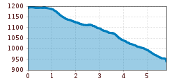
Difficulty:
medium
Length:
14.0 km
Duration:
6:00 h
Elevation uphill:
718 m
Gries - Sellrain (1)
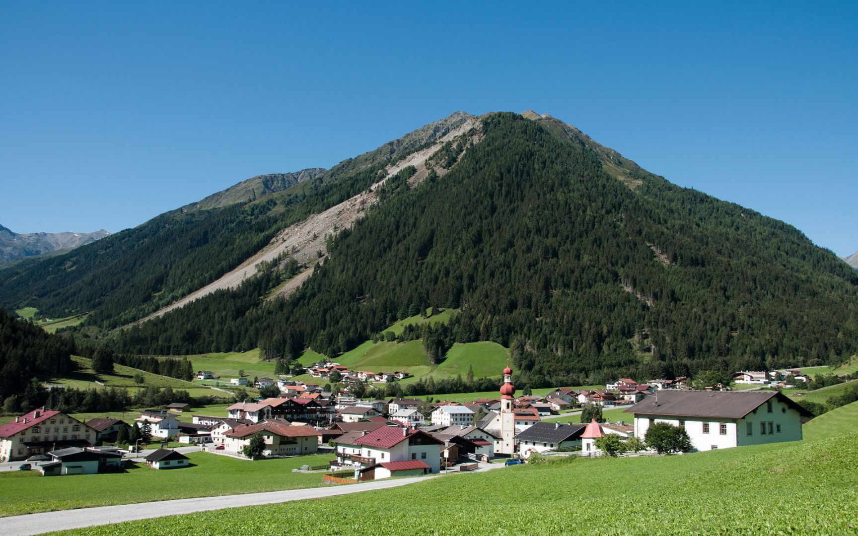
Cross the bridge by the fire station and then turn left to follow the path to Untermarendebach. This route leads you through alpine meadows and fields to the village of Sellrain.


_WaLogo.jpg")


.jpg")


