.jpg")
Opening hours:
open
Difficulty:
medium
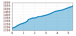
Length:
14.0 km
Duration:
6:00 h
Elevation uphill:
718 m
Gries - Kreuzlehn - St. Sigmund (20a)
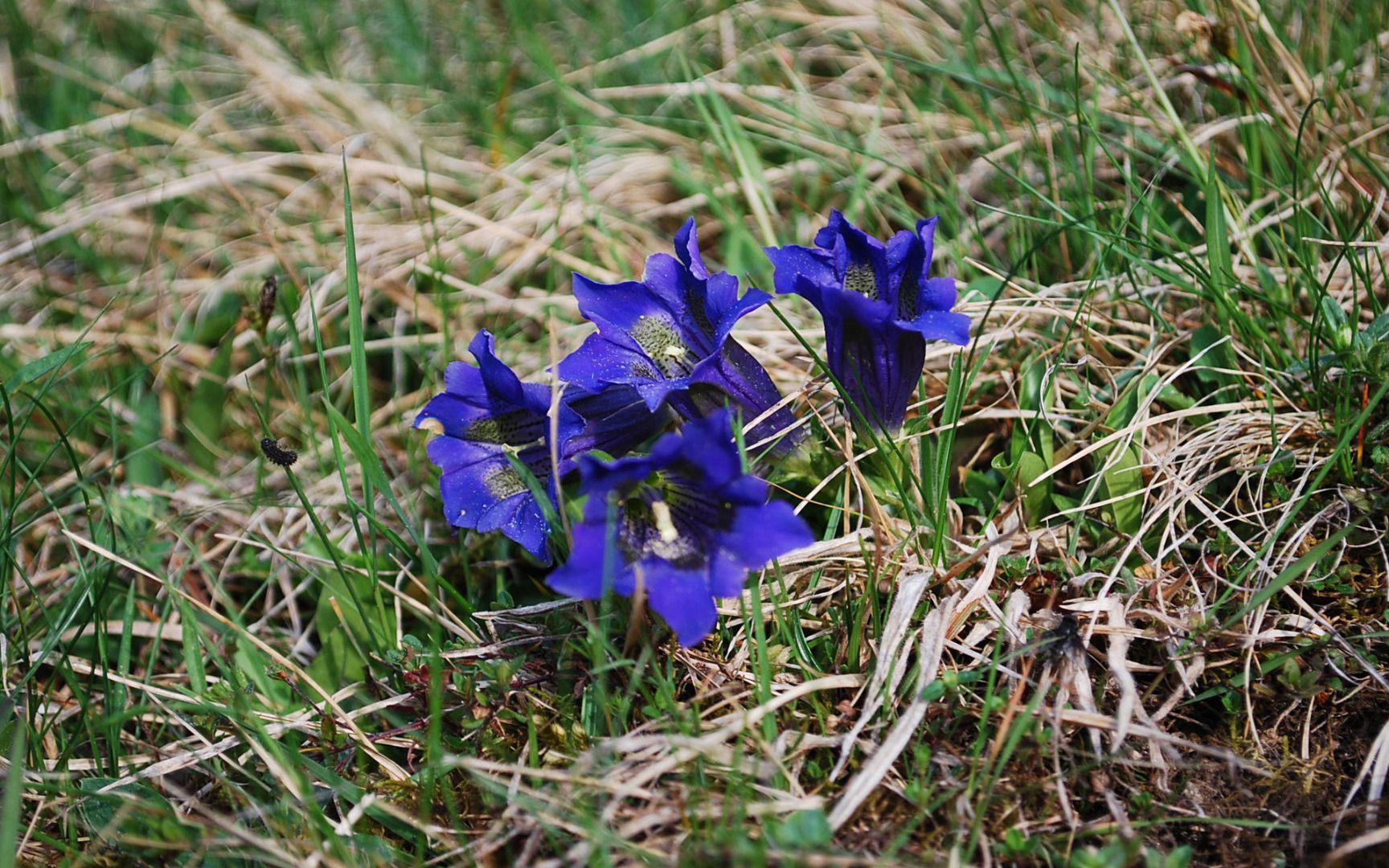
Follow the hiking trail "Blick über Gries" (route no. 20) to the hamlet of Bichl. There, branch off to the right and take the Höhenweg trail, following it below the Kreuzlehnhöfe farm buildings to the Kühtaier Landesstraße road. Walk along the road for about 500 metres and then cross the Zirmbach stream after the Koflerkreuz cross to join the Panoramaweg trail no. 2.


_WaLogo.jpg")


.jpg")


