Erholungsweg Terfens

Terfens / Karwendel
Difficulty ratings: easy
Duration: 1:00 h

A leisurely walk around the village

Tour information

  • Requirement: easy
  • Duration: 1:00 h
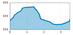
  • Elevation uphill:78 hm
  • Elevation downhill:80 hm
Highest point640 m

Starting point

Terfens Dorfplatz

Features

  • Circular route
  • Suitable for families
  • suitable for pushchairs

Trail condition

Easy to hike path with almost no elevation gain also suitable to push a prem.

Equipment

Comfortable shoes with a good sole. Don't forget suncream and something to drink, as well as your swimm stuff.

Description

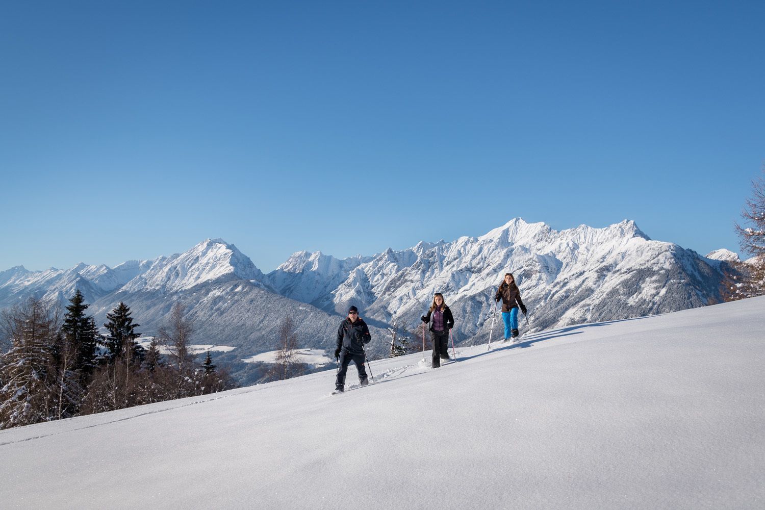
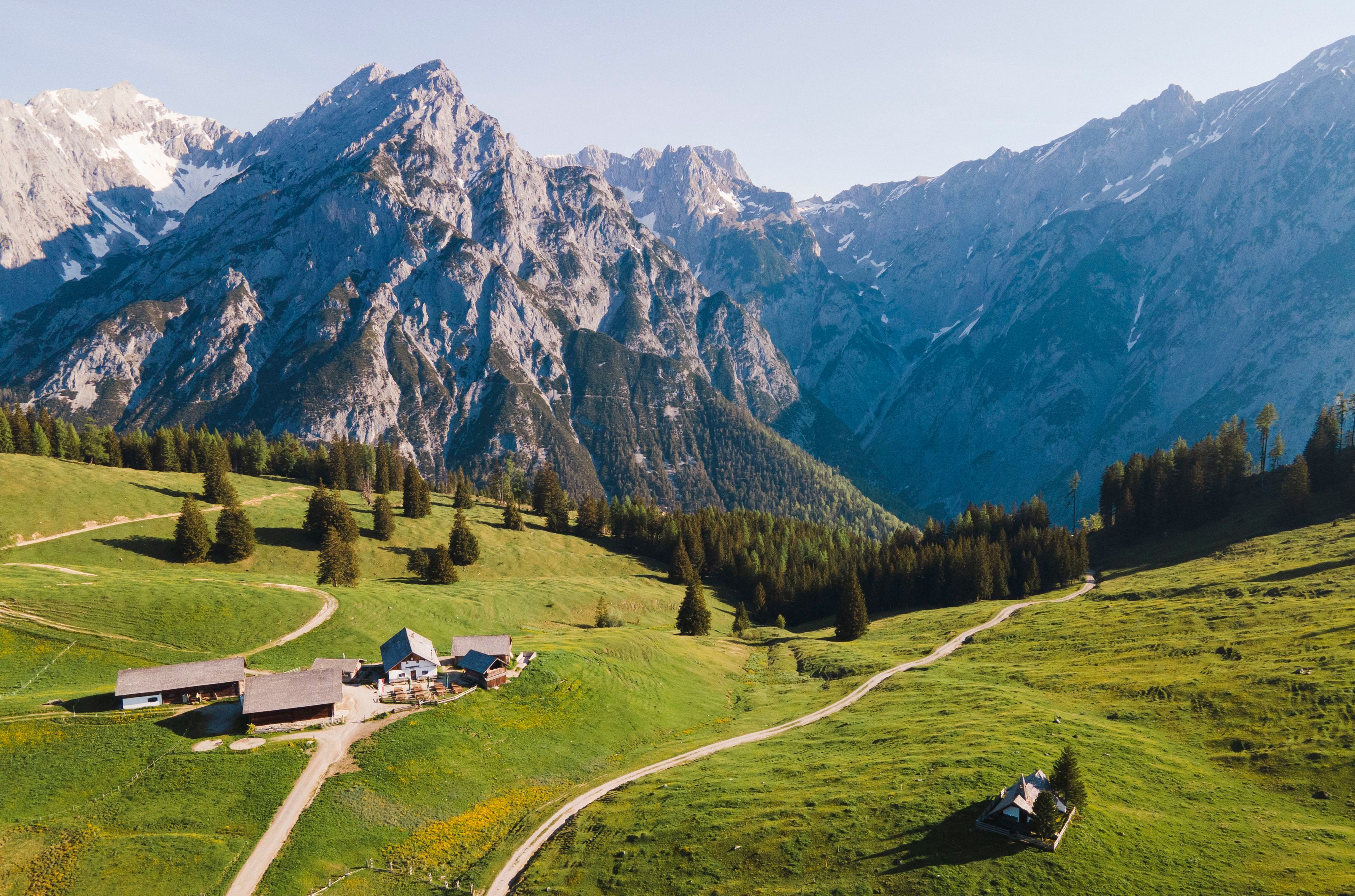
Starting point is the town centre of Terfens. From here on, you follow the Fischergasse in northern direction and make a sharp right turn at the end of town. Now the path follows idyllically the edge of the forrest and presents a fantastic view of the Inn valley and the mountain range of the Tuxer Alps. Soon the path make a southward bend, crosses the Dorfstraße and makes its way through fields back to the starting point.

Getting here

  • Arrival by public transport

    If you wanna reach Terfens with public transport, you have many choices: You can take the train to the station Terfens-Weer and go by foot via the Auweg in direction Weißlahn to the starting point.

    The Regionalbus 1 takes you from the villages Kolsassberg, Kolsass and Weer directly to the center of Terfens (Station: Gemeindeamt).

    The Dorfbus 4 starts from the main train station in Schwaz and makes its way through Vomp, Vomperbach and Pill also to the starting point of the hike in Terfens (Station: Gemeindeamt).
  • Parking

    A parking facility can be found directly in Terfens on the community parking lot.

More tours in the surrounding area

Newsletter

The mountain is calling? So does our newsletter!

In our monthly newsletter we reveal the best holiday tips for Tyrol.