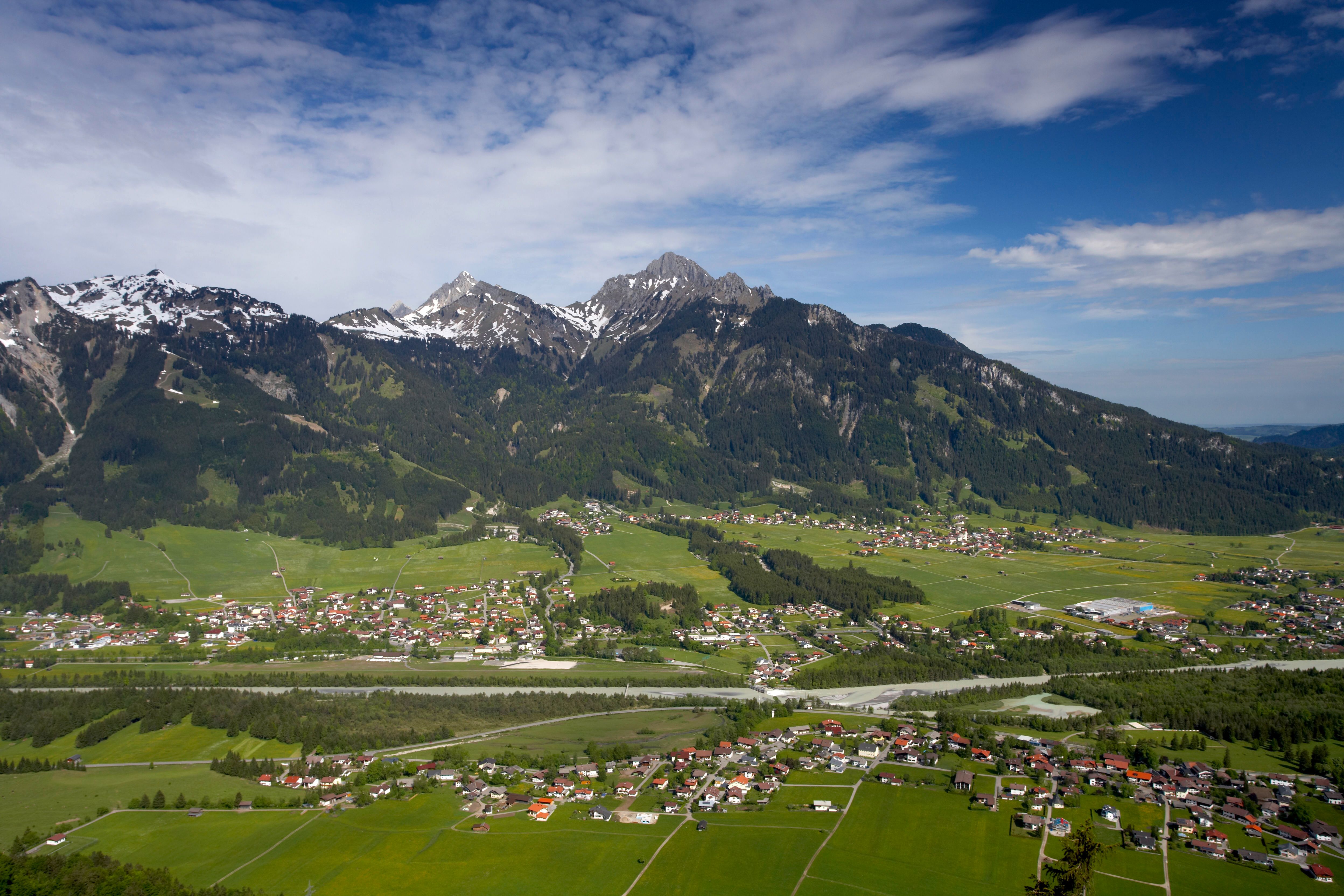
Hike up the HahnenkammDifficulty: medium Length: 15.4 km Duration: 5:30 h Elevation uphill: 968 m See trailMore about Hike up the Hahnenkamm
Vilser Alm HikeDifficulty: medium Length: 6.6 km Duration: 2:45 h Elevation uphill: 348 m See trailMore about Vilser Alm Hike
Lechweg - Leisurely variant - Stage 8 - Pflach to Füssen in the AllgäuMore InformationMore about Lechweg - Leisurely variant - Stage 8 - Pflach to Füssen in the Allgäu
Lechweg - Gemütliche Variante - Etappe 7 - Weißenbach bis PflachMore InformationMore about Lechweg - Gemütliche Variante - Etappe 7 - Weißenbach bis Pflach
Hike to the Ehrenberg castle ruinsDifficulty: medium Length: 5.1 km Duration: 1:45 h Elevation uphill: 237 m Go to winter hikeMore about Hike to the Ehrenberg castle ruins
Höfener Wiesen circuitOpening hours: closed Difficulty: easy Length: 2.2 km Duration: 0:45 h Elevation uphill: 33 m : Style: Skating, Classic Go to Cross-country skiing trailMore about Höfener Wiesen circuit
Winter walk to the Vilser Alm hutDifficulty: medium Length: 6.6 km Duration: 2:30 h Elevation uphill: 348 m Go to winter hikeMore about Winter walk to the Vilser Alm hut
Over the Tannheim mountains | 4 day tourDifficulty: medium Length: 35.0 km Duration: 15:00 h Elevation uphill: 2,200 m See trailMore about Over the Tannheim mountains | 4 day tour
Grenzgänger Etappe 1 - Bschießer, Ponten, Zirleseck und Willersalpe - HintersteinDifficulty: medium Length: 12.3 km Duration: 6:00 h Elevation uphill: 1,035 m See trailMore about Grenzgänger Etappe 1 - Bschießer, Ponten, Zirleseck und Willersalpe - Hinterstein
LechradwegLength: 244.6 km Duration: 18:00 h Elevation uphill: 1,702 m Go to biketourMore about Lechradweg
Give feedback for a chance to win a special holiday experience!Click here for the surveyClick here for the survey


.jpg")

