
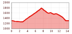
Difficulty:
difficult
Length:
8.3 km
Duration:
3:30 h
Elevation uphill:
498 m
Alpe Rendl-Runde 770
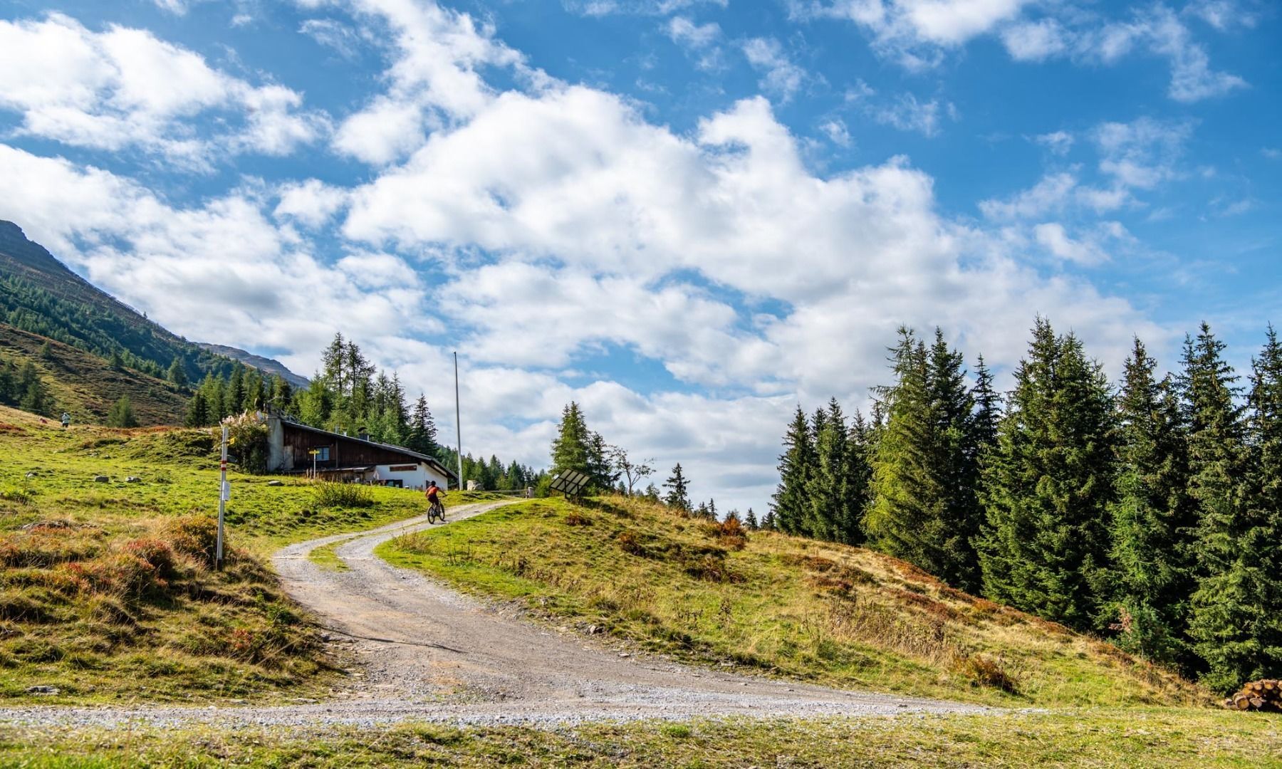

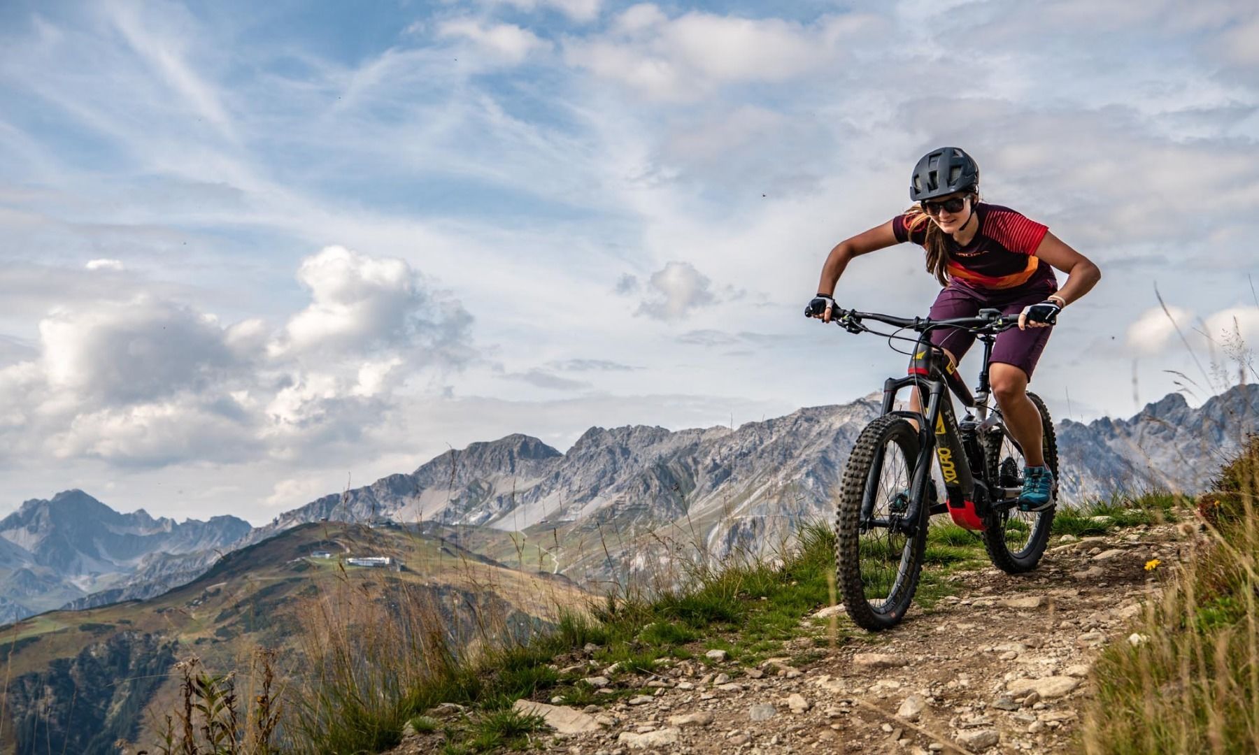
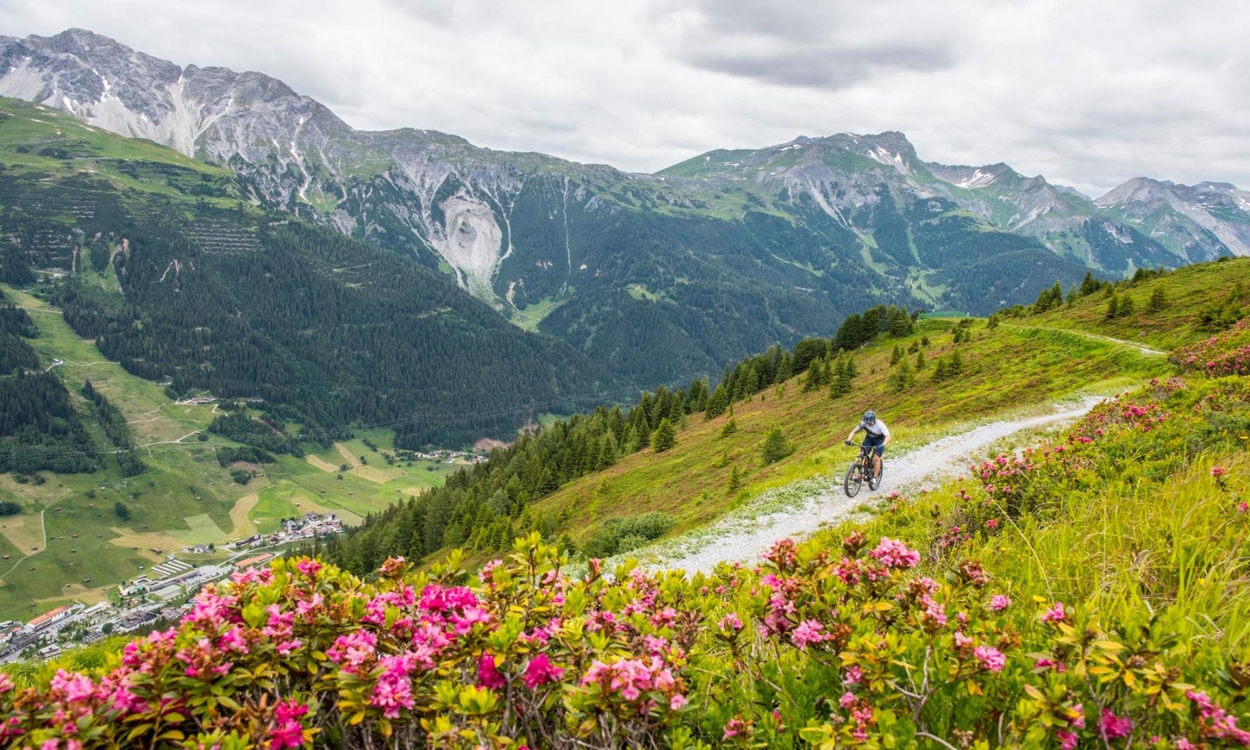
Starting at the Arlberg WellCom, the route first goes through St. Anton to the Stanzertal cycle path. Now head east along the asphalt cycle path until you reach the “Guhl Kurve”. Here you branch off from the cycle path to the right. Take the forest path up a fairly pleasant incline to the Rendl Alm. The forest path is perfect for both mountain bikes and e-mountain bikes, only sometimes the path is a little rougher and requires more strength. On the way back, turn left at the clearly visible junction onto the Erzherzog-Eugen-Weg. Pass the Bifang Alm and the old Rendl cable car and head back to the Arlberg WellCom.


