.jpg")
Difficulty:
medium
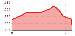
Length:
1.2 km
Adi Raich Steig from S. Cristina to Hohlenegg
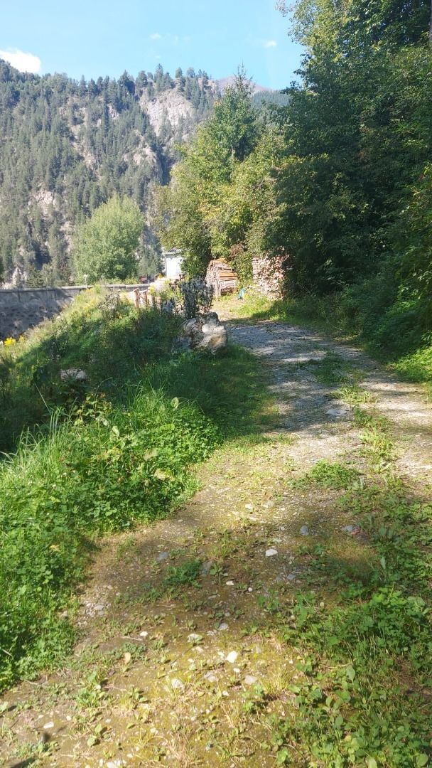
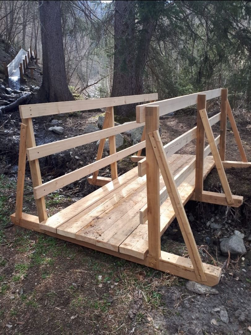
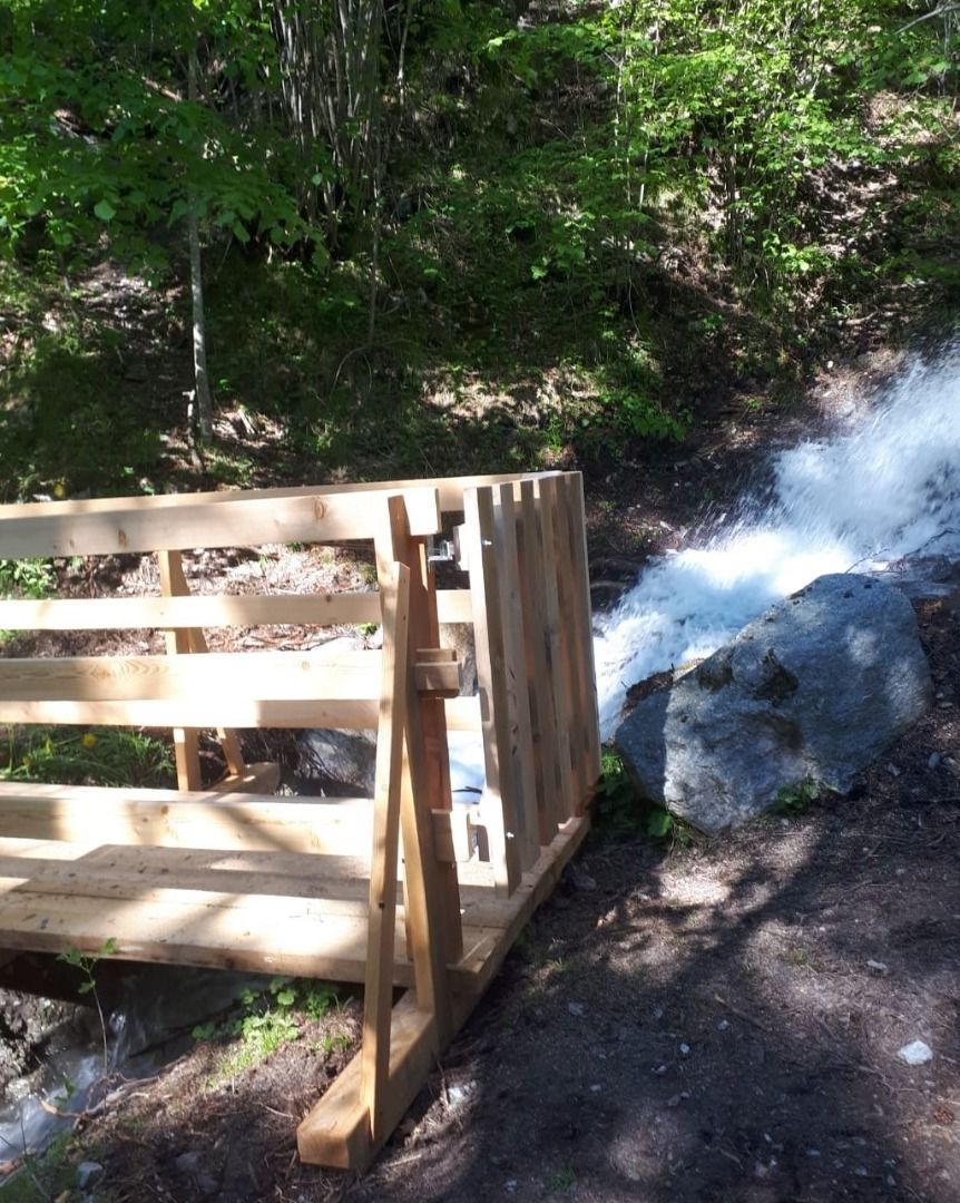
The Adi Raich Steig in S. Cristina near Ried is particularly suitable for a leisurely walk next to the Christiner Bach stream and through the wooded area of Ried in the Upper Inn Valley over the Kalvarienberg mountain to the village center in Ried.
")
.jpg")
.jpg")
.jpg")
.jpg")
.jpg")
.jpg")

.jpg")
.jpg")
.jpg")

.jpg")
.jpg")
.jpg")
.jpg")
.jpg")
.jpg")

.jpg")
.jpg")
.jpg")

.jpg")
