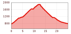
Mountainbike-Tour Schatzberg tour (351)

Difficulty ratings:
Route length: 24.9 km
Duration: 2:30 h

Mühltal - Thierbach - Schatzbergalm, Gipfö Hit and via Gernalm, Aschbachweg back to the valley.

Tour information

  • Length: 24.9 km
  • Duration: 2:30 h
  • Elevation uphill:1,149 hm
  • Elevation downhill:1,146 hm
Highest point1,898 m

Starting point

Mühltal

Finishing point

Mühltal

Features

  • Circular route

Best time of year

  • January
  • February
  • March
  • April
  • May
  • June
  • July
  • August
  • September
  • October
  • November
  • December

Trail condition

Road to Thierbach and from Grasing Alm. Gravel forest path to the Schatzberg, meadow path to Grasing Alm. You may need to dismount and push to the Grasing Alm. Closed from 1.11 to 1.04. All MTB-Routes and cycling paths are closed during the winter months for safety reasons Routes will not be cleared and many are sunject to avalanche danger.

Description

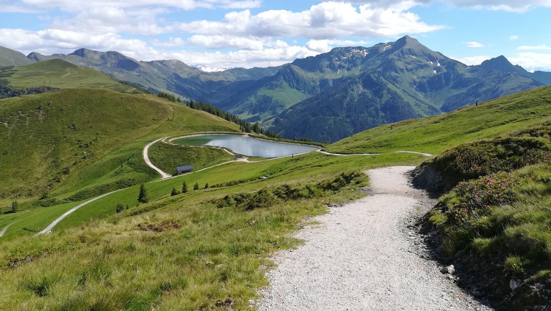
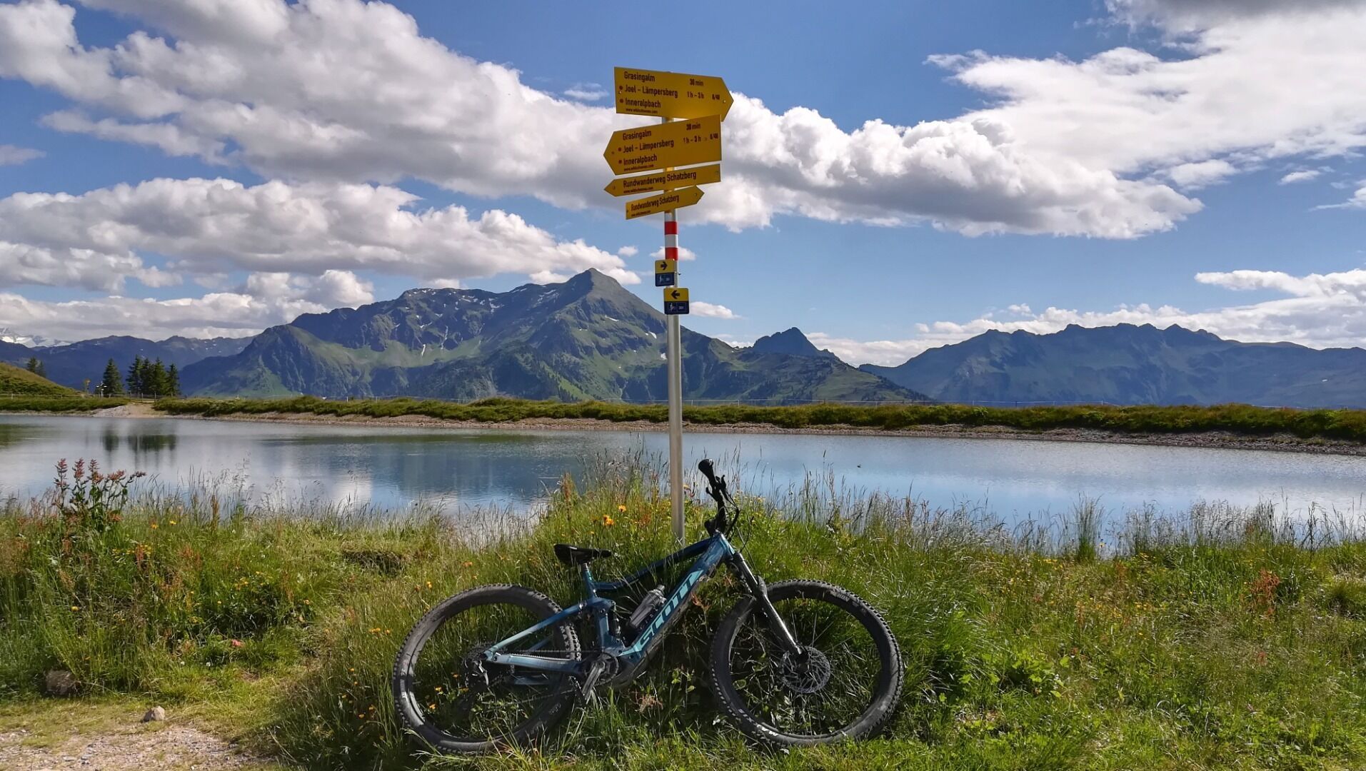
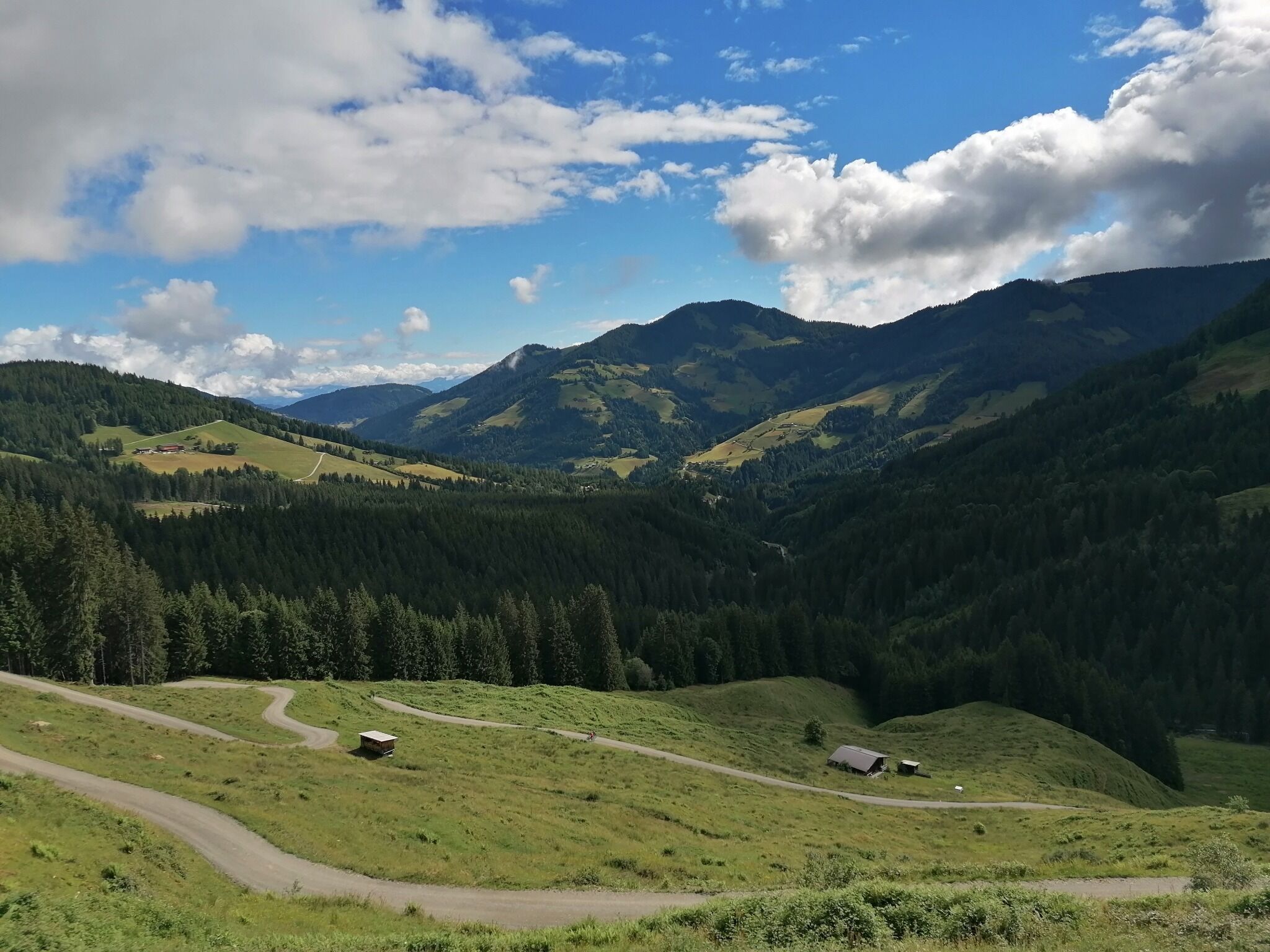
Start in Mühltal and ride uphill to the hamlet of Thierbach. After the church turn left passed the school on a gravel road for approx. 6 km to the Schatzberg. On the way you pass the Kothkaser Alm. Rest and refreshment at the Schatzberalm and Gipfö Hit restaurants. The views here are unforgettable.

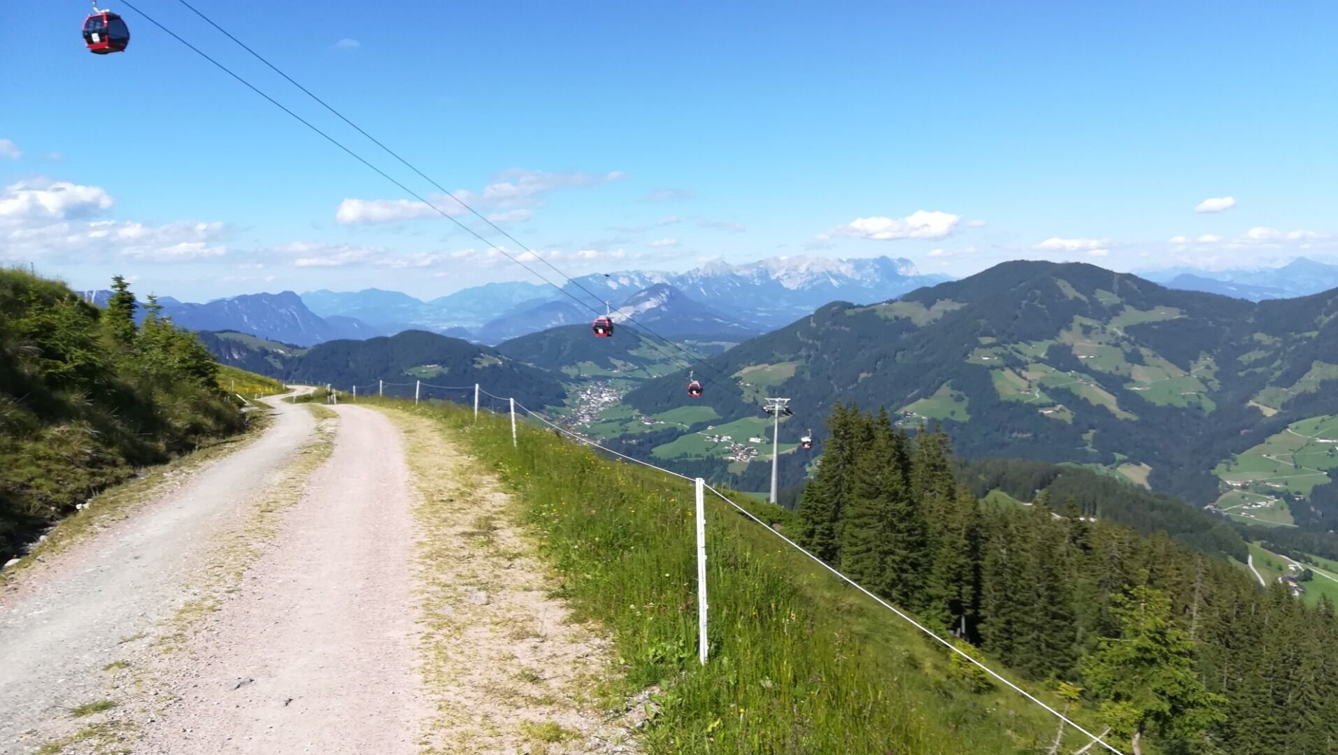
Continue then downhill to the Gern Alm. You may need to dismount and push to the Grasing Alm. From here pass the Talsalm and follow the Aschbachweg back to the valley. Turn left onto the Wildschönau Strasse and follow it back to the start.

More tours in the surrounding area

Newsletter

The mountain is calling? So does our newsletter!

In our monthly newsletter we reveal the best holiday tips for Tyrol.