Road bike tour Road bike 14 Hinterhorn Alm

Rattenberg /
Difficulty ratings:
Route length: 94 km
Duration: 4:45 h

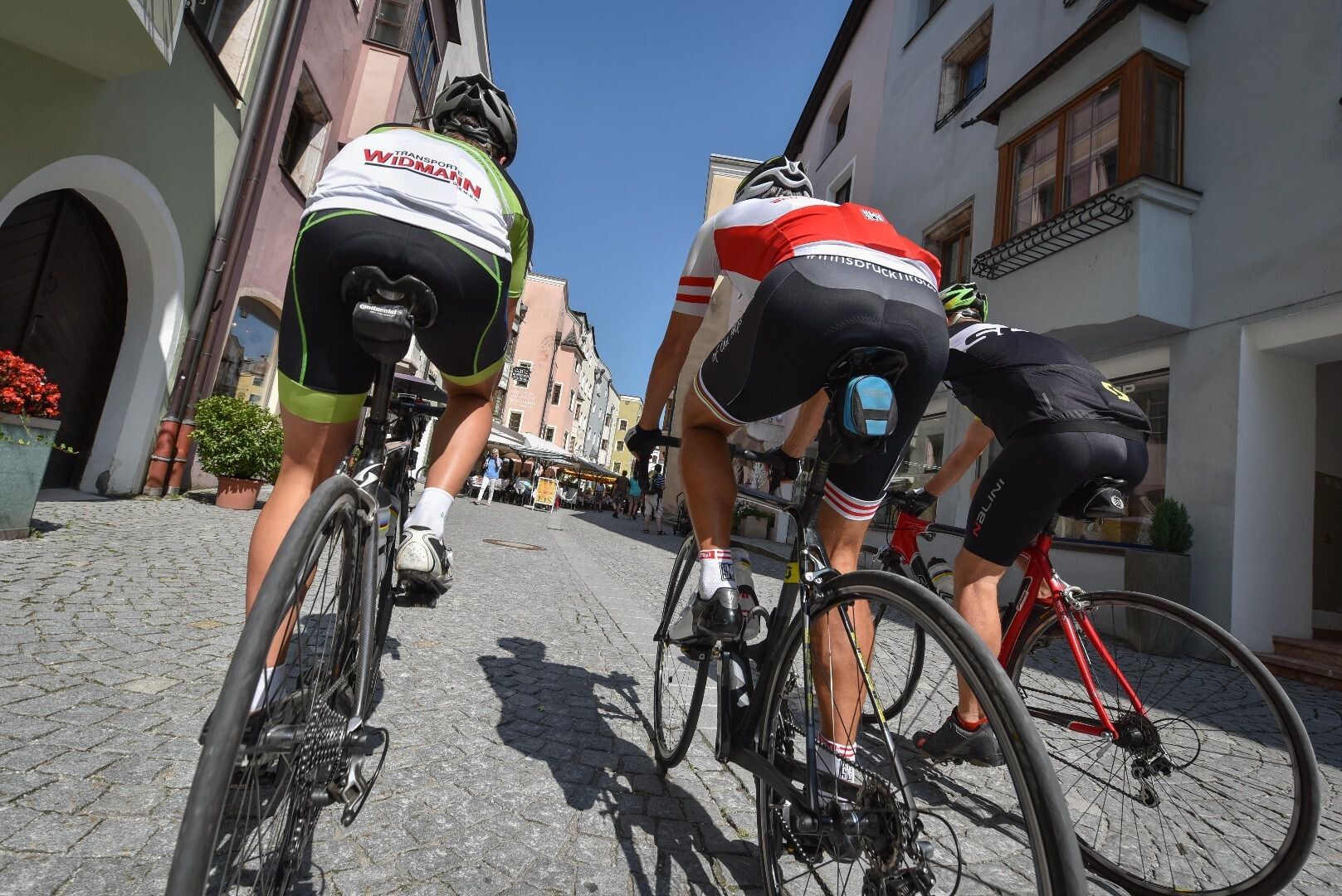
This is a more sportive variant of the "15 Oberes Inntal" tour, avoiding busy main roads leading through small villages to the left and right of the Inn Valley. The climb to the Hinterhorn Alm is only for the hardened cyclist. Omit for an easier ride.

Tour information

  • Length: 94 km
  • Duration: 4:45 h
  • Elevation uphill:1550 hm
  • Elevation downhill:1550 hm
Highest point 1,526 m

Starting point

Rattenberg, town main square fountain

Finishing point

Rattenberg, town main square fountain
  • Fitness level 5 / 6
  • Technique 3 / 6

Best time of year

  • January
  • February
  • March
  • April
  • May
  • June
  • July
  • August
  • September
  • October
  • November
  • December

Equipment

Right-hand traffic in practice. Please obey the highway code, road safety and vehicle rules.

Helmet, sun glasses, gloves, rain proof clothing, bike outfit, first aid kit, replacement inner tube, tire lever, bike pump or cartridge, mobile phone, cash, bank card, drinking bottle, energy gel or bar, cap or bandana, leg and arm warmers.

In any case - equipment should be adapted to the time of year.

Description

TVB Tour 14 – Hinterhorn Alm

  • Distance 95 km
  • Elevation gain 1550 m
  • Gradient max. 15 %
  • Best time early summer – late autumn
  • Grading hard

Getting here

  • Parking

    By train to trainstation Rattenberg-Kramsach, by car to one of the both parking-areas in Rattenberg on east- and/or west-end

  • Contact

    Rennrad 14 Hinterhorn Alm
    ****

More tours in the surrounding area

Newsletter

The mountain is calling? So does our newsletter!

In our weekly newsletter we reveal the best holiday tips for Tyrol.

Protected by