
Opening hours:Today closed
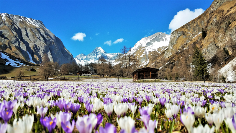
Place:Kals am Großglockner
:Restaurant, Alpine pasture / hut / mountain restaurant
By bike to the foot of Austria's highest peak

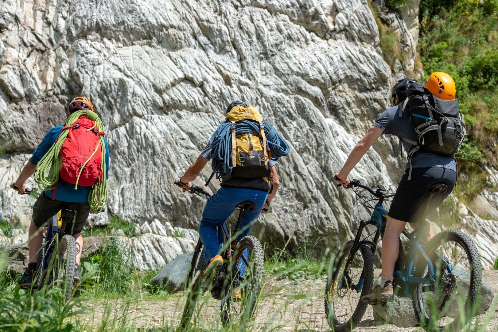
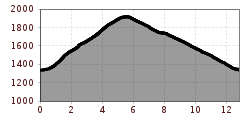
From the center of Kals, right next to the Mpreis supermarket, drive past the white Schützendenkmal monument, between the houses on the left onto a narrow asphalt road, then turn left uphill towards Glor. In Glor, after the last house on the left, the old Lucknerhausstraße (steeply ascending forest road) begins, leading to the junction with the new Kalser Glocknerstraße (asphalted). Here, turn right onto the asphalted Lucknerhausstraße, continue for about 1 km to the Glocknerwinkel car park and cross the bridge on the left to the Alpengasthof Lucknerhaus.
Kals a.G. Gemeindeamt
Parkplatz Kals Zentrum


