
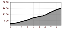
Difficulty:
difficult
Length:
3.7 km
Duration:
1:30 h
Elevation uphill:
590 m
Kohlerkapelle - Flaurlinger Alm (5055)
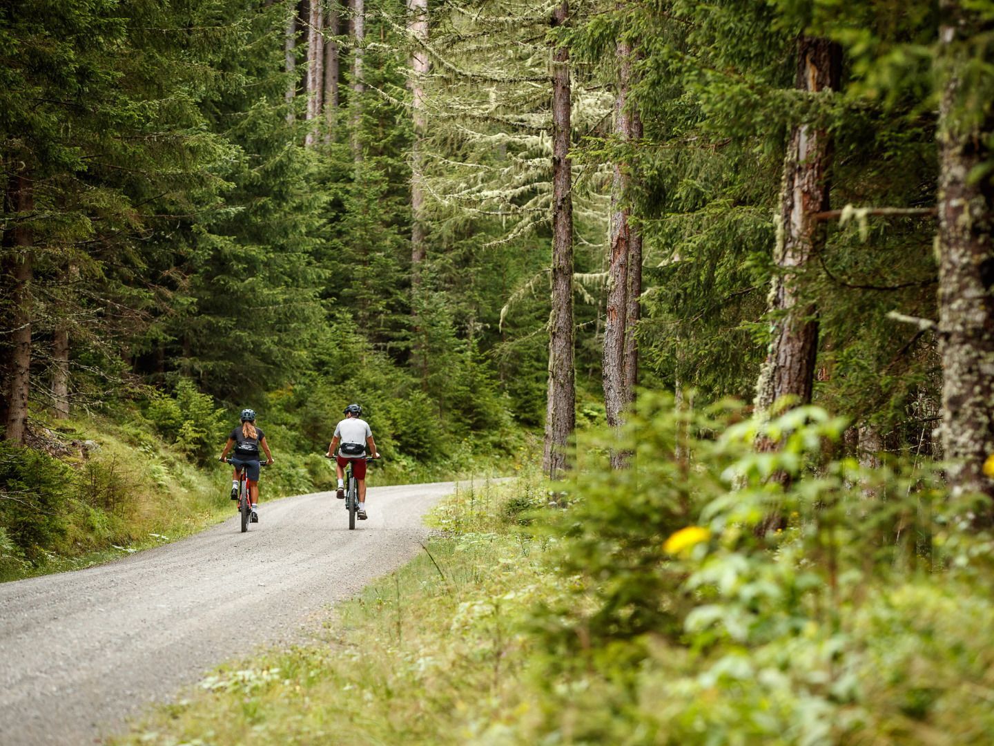
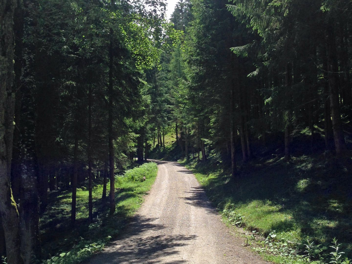
From the starting point, follow the main road for a short distance and then turn right towards "Hornbachkapelle" chapel. The forest road makes long, sweeping turns as it climbs up through the forest at a moderate incline to the "Kohlerkapelle" chapel. The route then crosses a bridge and runs alongside the stream for a short time before starting the steep ascent to the Flaurlinger Alm mountain hut. The path is very windy as it leads up through forests and alpine pastures up to the hut.
Bike & hike for ambitious athletes: From the Flaurlinger Alm, a trail leads through the See Valley to the scenic Taxer See mountain lake (2,282 m). Walking time approx. 2.5 hours.
Note for E-Mountainbikes: When the battery is heavily used, it is recommended to bring a second battery.
Highlights: Authentic atmosphere in a quiet location at Flaurlinger Alm. Genuine Tyrolean specialties and a cozy, casual atmosphere. Exclusively alpine products.
.jpg")


