Arrival by public transport
Bicycles are not allowed on public transport. Bicycles are allowed on buses with bicycle trailers.
https://naturtrip.kaiserwinkl.com/poi/253795
Klausenberg - Klausenbergklamm
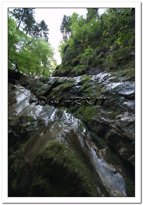
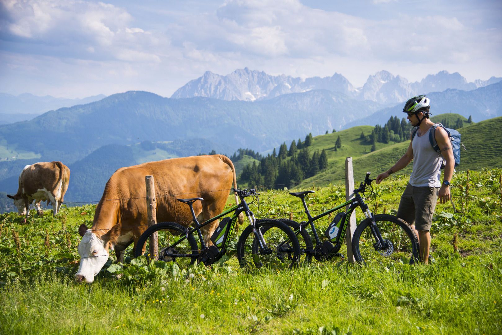
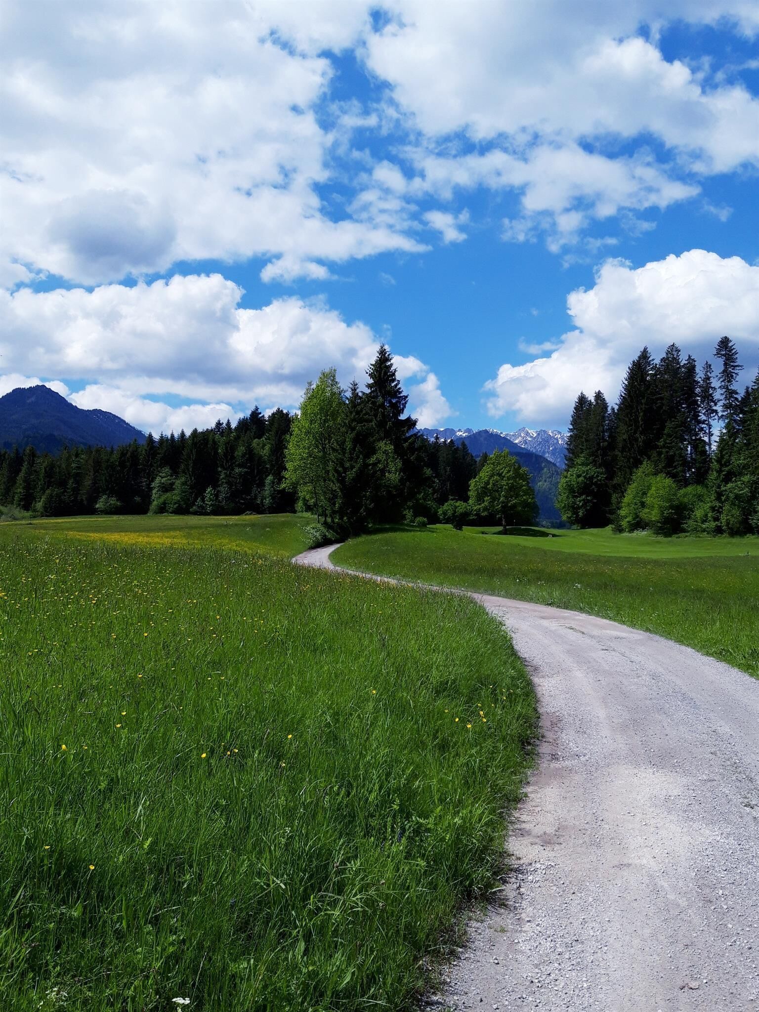
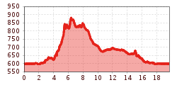
Starting point is the main road Kössen - Erpfendorf. From the district Kössen-Loferberg 150 m after the bus stop turn left into the forest road. 2.3 km to the Klausenberg, moderately ascending. Continue left, approx. 3.7 km across the state border to the Klausenbergklamm gorge and to Blindau-Reit im Winkl. From Reit im Winkl follow the main road back to the starting point.
Bicycles are not allowed on public transport. Bicycles are allowed on buses with bicycle trailers.
https://naturtrip.kaiserwinkl.com/poi/253795
Parking is available at the starting point at the VZ Kaiserwinkl.
