Mountainbike-Tour Flaurlinger Alm mountain hut - MTB route (582)

Flaurling / Stubaier Alpen
Difficulty ratings: difficult
Route length: 8.5 km
Duration: 2:30 h

Flaurlinger Alm mountain hut - MTB route (582)

Tour information

  • Requirement: difficult
  • Length: 8.5 km
  • Duration: 2:30 h
  • Elevation uphill:1,010 hm
  • Elevation downhill:53 hm
Highest point1,614 m

Starting point

Local authority Flaurling

Finishing point

Flaurlinger Alm (1.614 m)

Trail condition

asphalt, gravel trail, forest road

Description

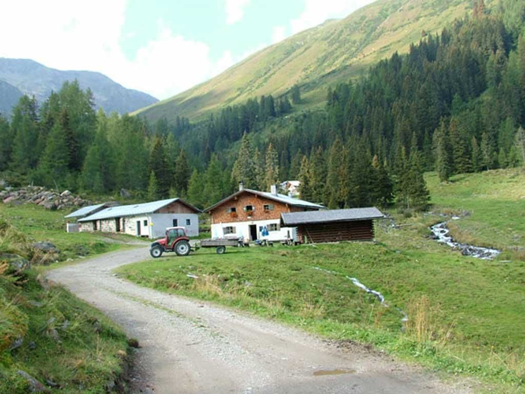
From the village hall in Flaurling, the route leads to the Kohlerkapelle chapel and along a wide trail through the Flaurling Valley to the Flaurlinger Alm, a mountain hut located at an altitude of 1,613 metres above sea level.
The route is a technical and physical challenge for experienced bikers.

More tours in the surrounding area

Newsletter

The mountain is calling? So does our newsletter!

In our monthly newsletter we reveal the best holiday tips for Tyrol.