
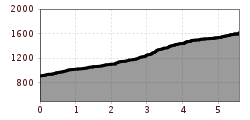
Difficulty:
difficult
Length:
3.7 km
Duration:
1:30 h
Elevation uphill:
590 m
Flaurlinger Alm from district „Schwaighof“ (582)
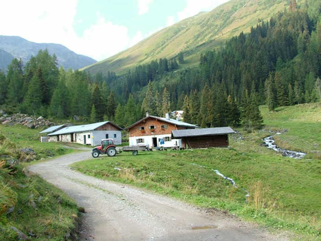
Start at the "Schwaighof" car park - route no. 582 - follow the gravel and forest path south through the Flaurling Valley - at the fork in the path go straight ahead, the route gets steeper - turn left when you come to another fork (the route splits) with a wayside cross and bench - continue to the Flaurlinger Alm mountain hut.
The route is a technical and physical challenge for experienced bikers.


