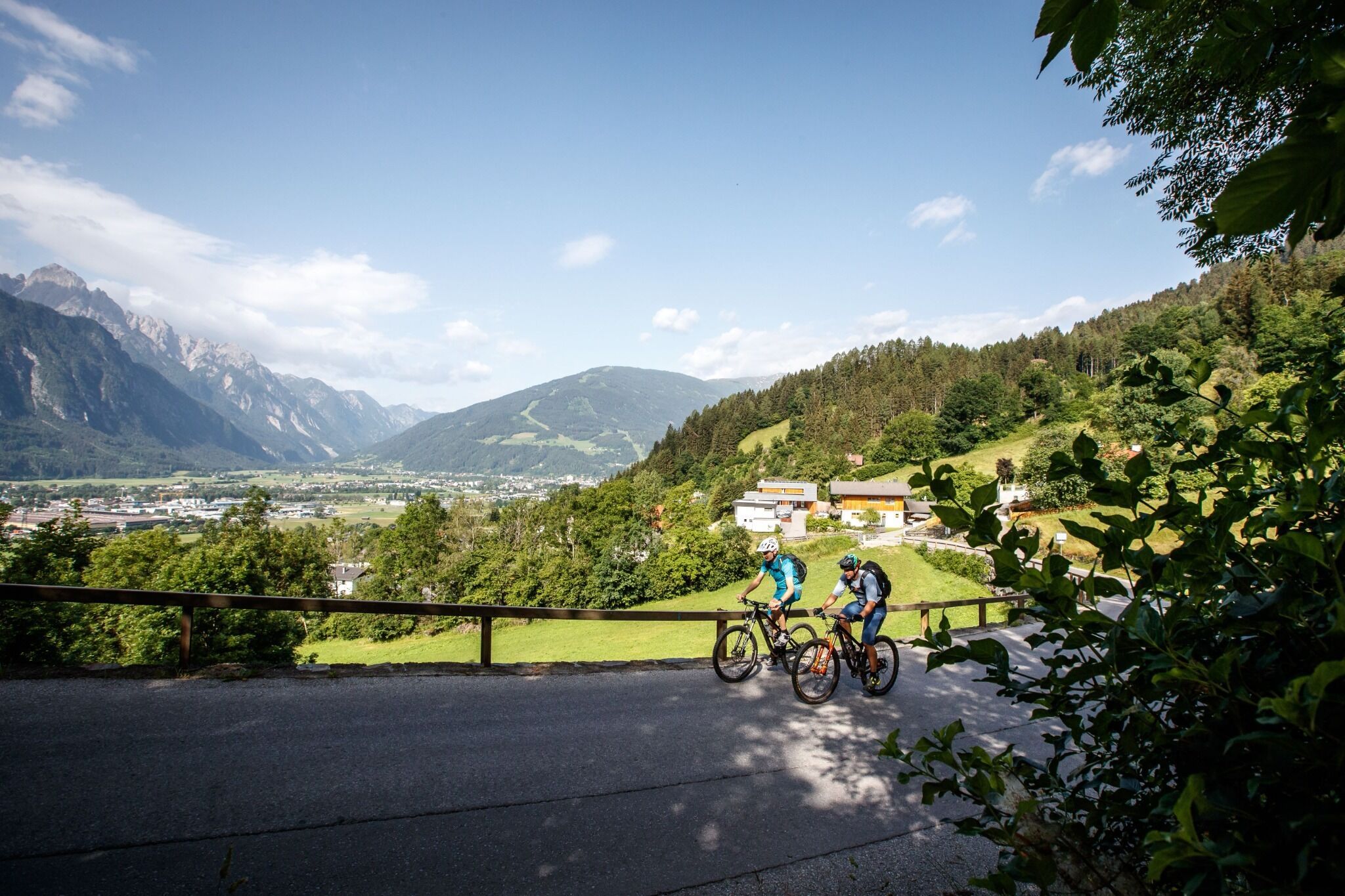
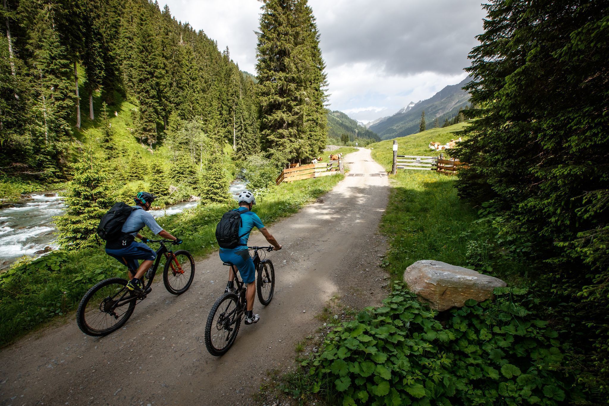
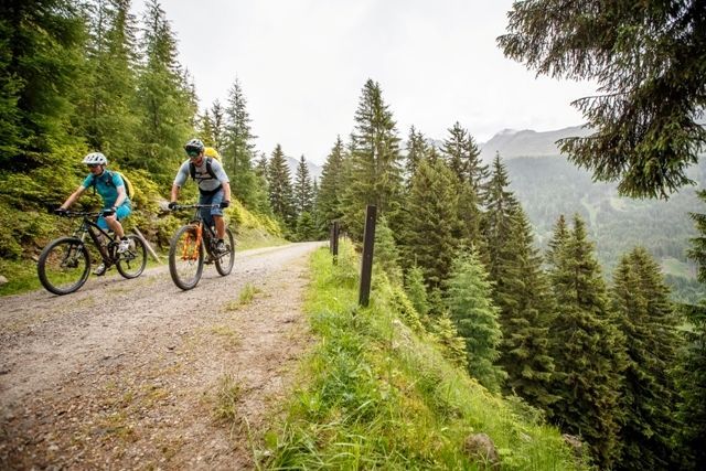
Mountainbike-Tour Brandweg MTB- 149

Iselsberg-Stronach /
Difficulty ratings:
Route length: 6.8 km
Duration: 1:30 h

Start your journey on the Iselsberg into the picturesque Debanttal valley

Tour information

  • Length: 6.8 km
  • Duration: 1:30 h
  • Elevation uphill:320 hm
  • Elevation downhill:270 hm
Highest point 1,610 m

Starting point

Parking space Schöne Aussicht

Finishing point

valley Debanttal
  • Fitness level 2 / 6
  • Technique 1 / 6

Best time of year

  • January
  • February
  • March
  • April
  • May
  • June
  • July
  • August
  • September
  • October
  • November
  • December

Description

From the parking area above the restaurant “Schöne Aussicht” in Iselsberg, the path primarily leads together with the MTB path Roaner Alm (156) for almost 1 km until to the road which splits off at the turn, from where the two paths separate. The path "Roaner Alm Weg 156" leads straight ahead to the same named Roaner Alm. The path "Brandweg" turns left in a north-westerly direction through the high forest until to the junction of the "Debanttalstrasse" and the MTB path Debanttal No. 153, which continues to the Lienzer hut. Thus, this path is a connecting route between the two MTB routes nr.153 Debanttal and nr. 156 Roaner Alm which can be used in both directions. 

Getting here

  • Arrival by public transport

    Take bus no. 942 in the direction of Iselsberg

  • Parking

    Use the car park just before the Gasthof Schöne Aussicht.

  • Contact

    Brandweg Nr. 149

    ****

More tours in the surrounding area

More tours in the surrounding area

Newsletter

The mountain is calling? So does our newsletter!

In our weekly newsletter we reveal the best holiday tips for Tyrol.

Protected by