Description
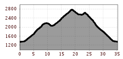
Even the key stats of this mountain bike tour – 32 kilometers (including about 6.5 km above 2500m) and 1600 meters of elevation gain – make it clear that this is one of the most challenging routes in the region.
Starting with a view of the Freizeit Arena, you head right and follow the Ötztal Cycle Path 11 to the valley station of the Gaislachkogelbahn. Upon reaching the Gaislachkogelbahn, turn right to join the B186 main road and follow it until the turnoff to the glacier road. After two switchbacks on the glacier road, you reach the "Gaislach" junction. From here, follow the asphalt road, which later transitions into a forest path leading to "Gaislachalm."
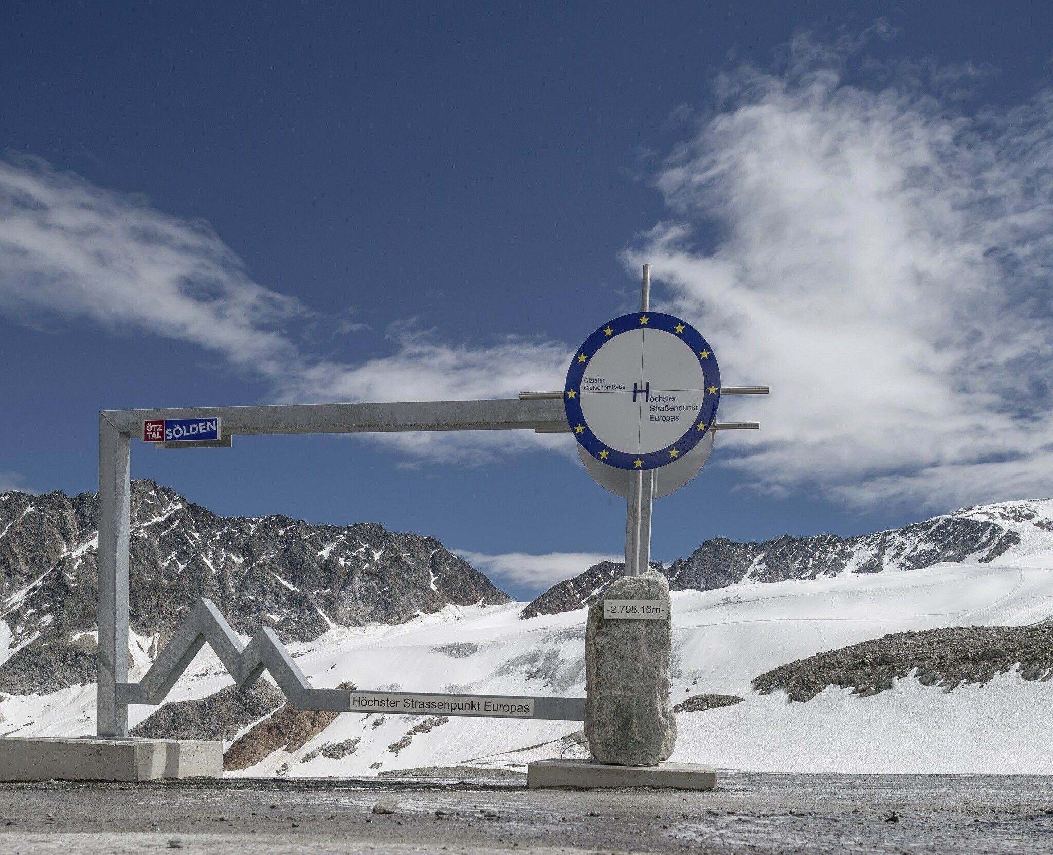
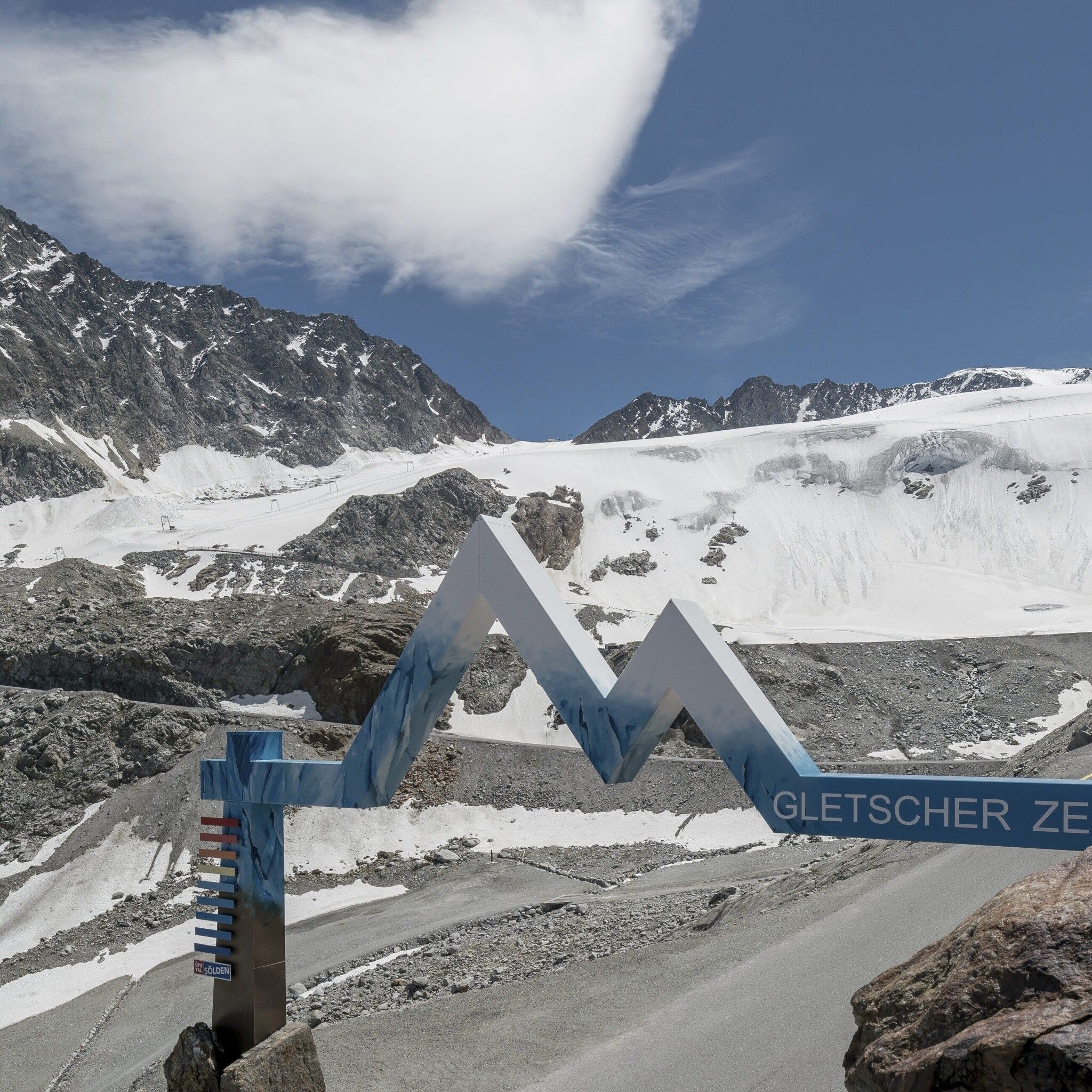
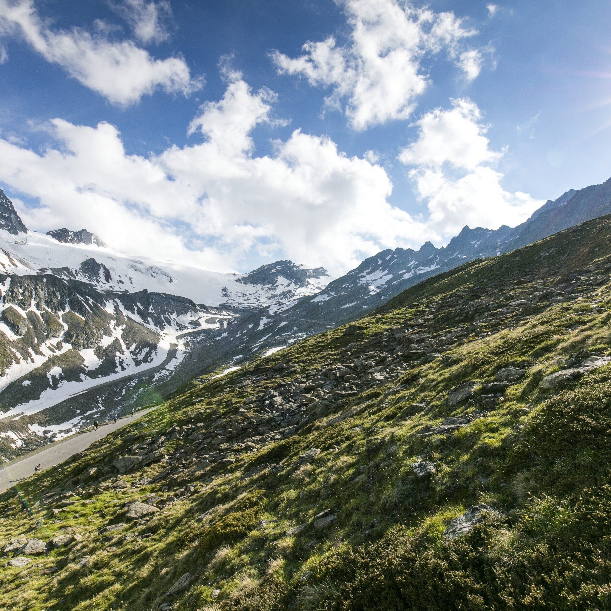
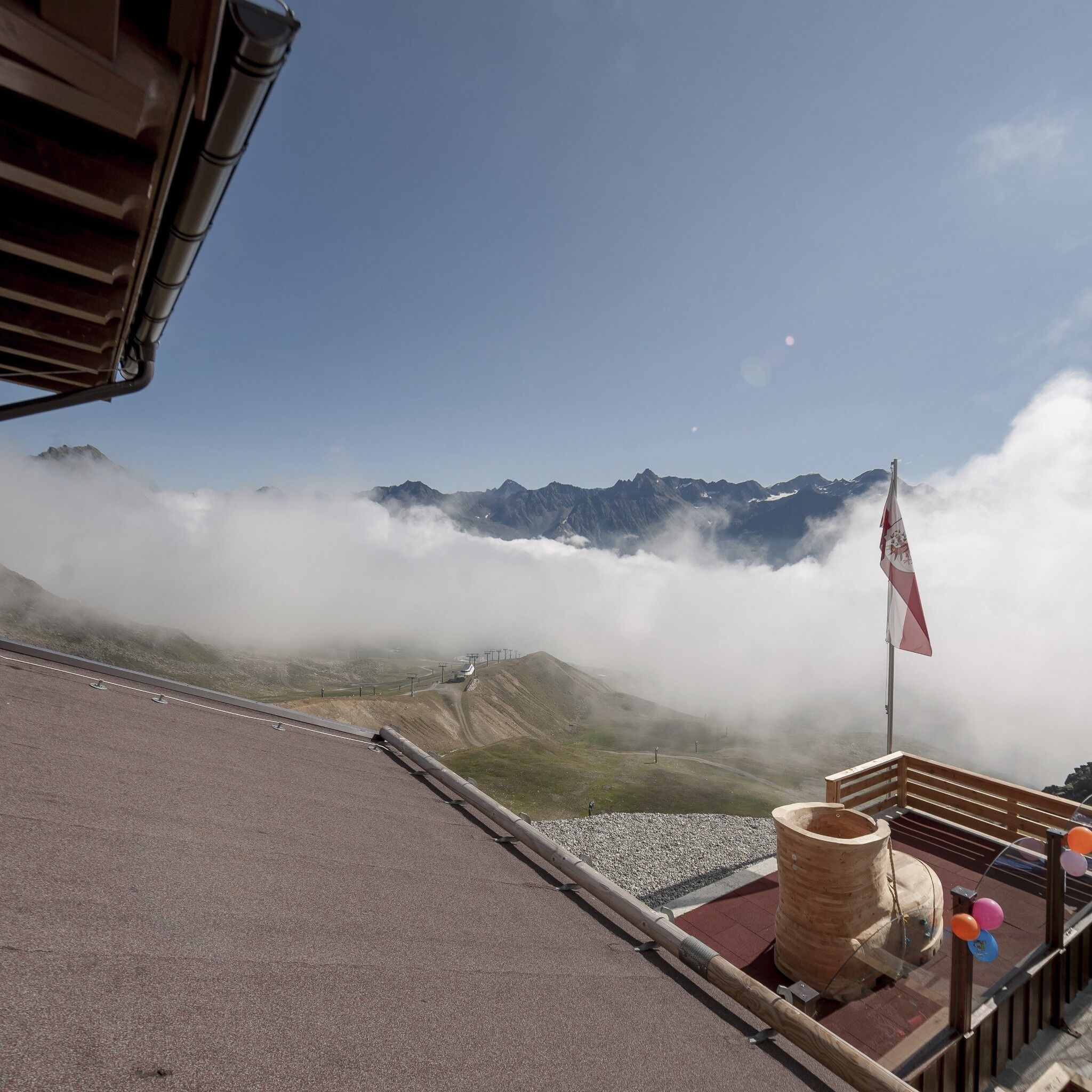
From Gaislachalm, continue towards "Heidealm" via "Mittelstation" and then head towards the glacier road. Upon reaching the toll station, follow the road to its highest point: the Rettenbach Glacier at 2,800 meters. This is also the highest paved road in Europe!
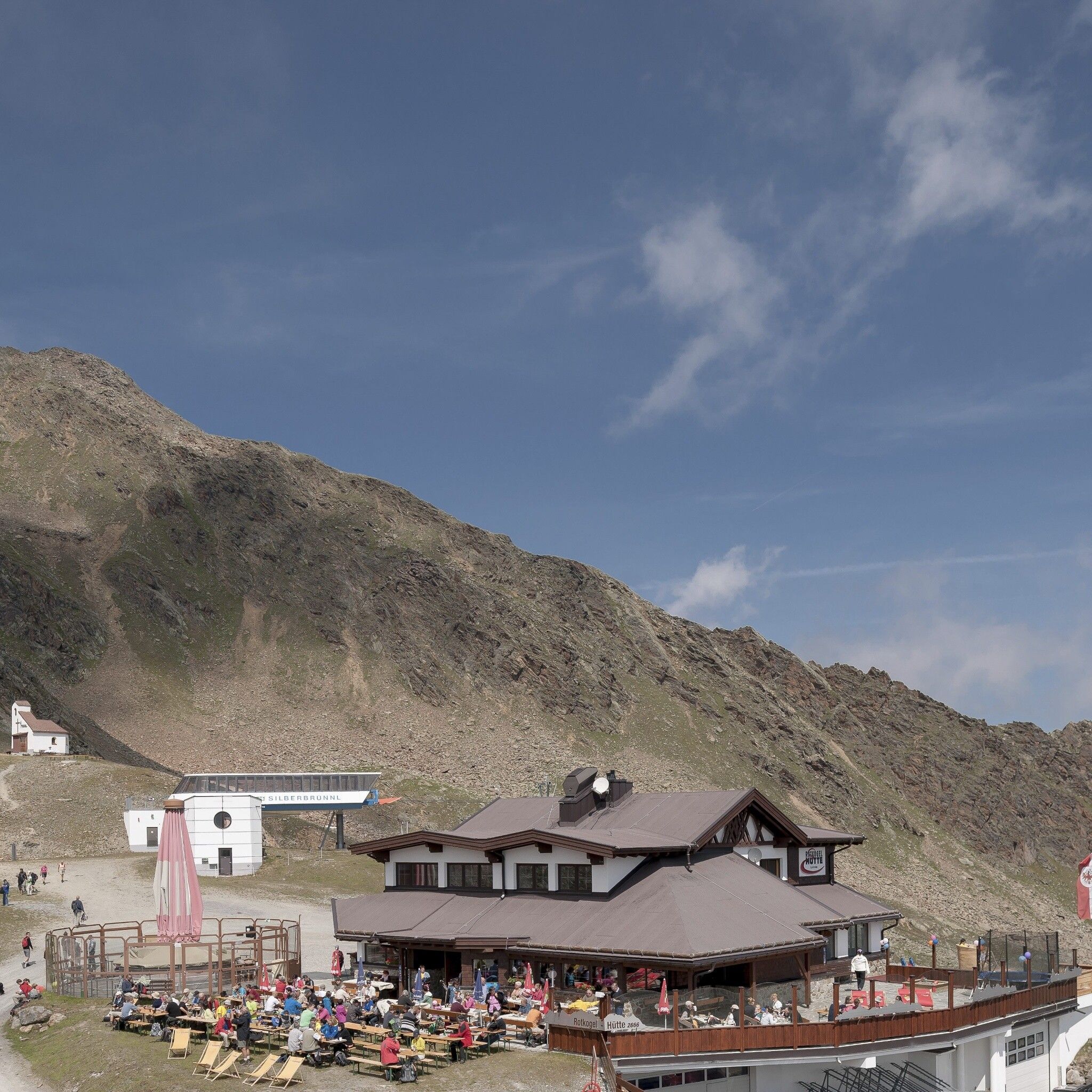
The descent initially follows the same road back until, after about 2.5 km (at the Silo Stand), you take a left onto a road leading up to the Rotkogelhütte. From there, follow the now gravel-covered road downhill to the mountain station of the Giggijochbahn. To the left of the Giggijochbahn, a steep forest road descends into Hochsölden. Once in Hochsölden, follow the paved Hochsölden road, which eventually reconnects with the glacier road. Upon reaching the main road, turn left to return to the starting point at the Freizeit Arena.


")
