Description
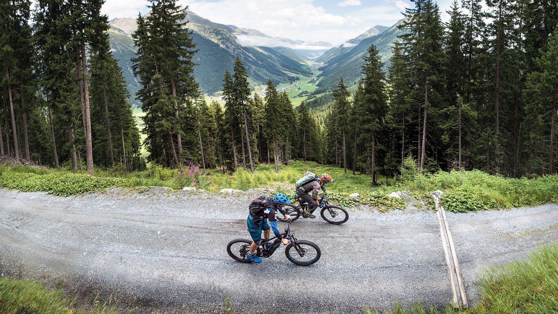
From the start point in Galtür, follow the cycle path out of the valley and along the Trisanna. At Tschaffein, you switch onto the southern side of the river. After over 2.5 km, you will come to the lowest point on the tour, leave the valley bottom and become submersed in the dense Maisswald forest at the entrance to the Lareintal valley. You then follow medium-steep forest roads up to the Lareinbach river and then up to the nearby Lareinalm where you can recharge your batteries on the cosy terrace with some home-made treats such as the famous Paznaun Alpine cheese. There is an alternative for the return journey which turns off left after the hut after some 600m and after a few additional metres uphill joins the cycle path at Tschaffein.