Important information on changes to the route in summer 2019: Due to work being carried out on the Fleckalmbahn gondola in Kirchberg, riders must use the Hahnenkammbahn gondola in Kitzbühel to travel up onto the mountain and then descend via the newly opened Bike Trail Hahnenkamm.
Starting point: Gaisbergbahn in Kirchberg • +43.5356.6951 • www.bergbahn-kitzbuehel.at
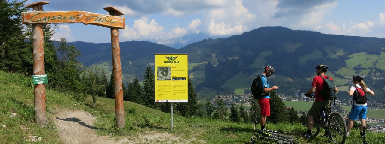
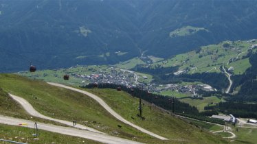
In Kirchberg, take Gaisberg Chair Lift for an effortless uphill ride atop Gaisberg Mountain. From the top terminal, the trail corkscrews down through dense forest at first, before breaking out into the open and reaching the village of Kirchberg. For hardcore downhill riders, there are two optional kick-butt downhills, “Lisi Osl Trail” (S2) and “Gaisberg Trail” (S2, short sections are rated S3). Crossing the village, please pay attention to the signs at the bridge (demanding a very short hike-a-bike section). Shortly after passing through the village of Kirchberg, take the Brixental Cycle Path and ride along it past Schwarzsee Lake as far as Kitzbühel.
Lifts & Gondolas along the Stage: Fleckalmbahn Kirchberg • +43.5356.6951 • www.bergbahn-kitzbuehel.at
Ride the gondola to the top of Ehrenbachhöhe from where a short descent brings you to the climb towards Pengelstein, gaining 200 meters in height. From there, it’s a long descent to Jochberg on gravel. In Jochberg, turn left onto Schwerterweg Trail and follow the cycle path to Kitzbühel. Having passed the charming small town, a short climb brings you to Schwarzsee Lake. Trailriders leave the normal route at Hahnenkamm Ridge. It is here that the new Bike Trail Hahnenkamm begins (opens 6 July 2019). Back down in the valley, a cycle path skirts Schwarzsee Lake before it merges onto the main route. A few short climbs ahead you will reach Rettenberg Mountain, from where the path coasts down to Oberndorf. A gentle and fairly level road takes you to St. Johann.
Finishing point: St. Johann in Tirol
Important! The length of the ride and particularly the vertical metres are rounded and to be seen as approximate values. The data was collected with high quality GPS equipment and processed with professional software. However, deviations may arise due to environmental factors and technological differences.


