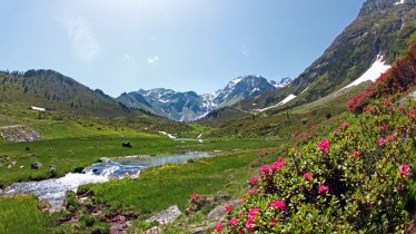
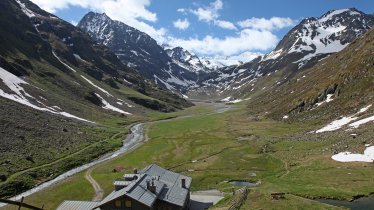
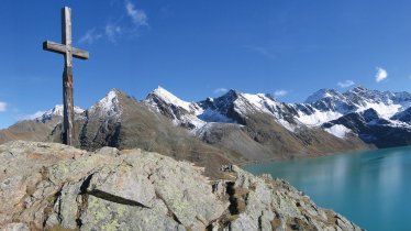
This hike invites walkers to give their car a holiday and instead use public transport to reach the starting point. Reated of intermediate difficulty, the route offers fabulous views stretching into the Ötztal Valley complete with glaciers, a mountain lake and a traditional hut serving hearty local food. The hike tops out at 2,500 metres above sea level. Both the starting point ("Obergurgl Zentrum") and the finishing point ("Zwieselstein Sahnstüberl") are at bus stops served by buses running in and out of the Ötztal Valley.

Mountain Hike
Starting point
Obergurgl Zentrum
Hike to
Nedersee
Finishing point
Obergurgl Bundesstraße
Mountain chain
Ötztal Alps
Length
9.6 km
Total hiking time
5h
Features
- Wheelchair-accessible Hiking Route
- Circular hike
Difficulty rating
intermediate (red mountain trails)
Altitude
Elevation uphill 740m
Vertical metres downhill 965m
Fitness level
Technique
Best time of year
* These are approximate values and recommendations. Please take your personal fitness level, technical ability and the current weather conditions into account. Tirol Werbung cannot guarantee that the information provided is correct and accepts no liability.
Public transport
- Accessible using public transport
- Trains from Innsbruck stop at the railway station "Bahnhof Ötztal-Haiming"
- Buses into the Ötztal Valley run daily every 30 mins
- Use of public transport and bike hire are included in the Ötztal Summer Card (not available free of charge); the Guest Card (free of charge) gives holders a 30% discount on use of public transport and is available at your accommodation
- Free transport for bicycles on buses
- Secure bicycle storage facilities in Ötztal Bahnhof and Sölden
Parking
Underground parking in the centre of Obergurgl
Underground parking at the bottom of the Festkogelbahn cable car
Downloads
Trail description
After starting in the centre of Obergurgl, the trail first heads north to the Pirchhütter Achbrücke bridge. After crossing the Gurgler Ache river, the hiking trail leads steeply up the western side of the valley towards a plateau with several lakes. Before you get to the plateau (whose largest lakes, the Soomsee and the Itlsee, can be reached via a short detour), continue out of the valley towards Nedersee. From the northern shore of the lake, the descent to the Lenzenalm begins and continues all the way down to the bus stop on the main road. (Return to Obergurgl by bus - runs every 30 minutes).


